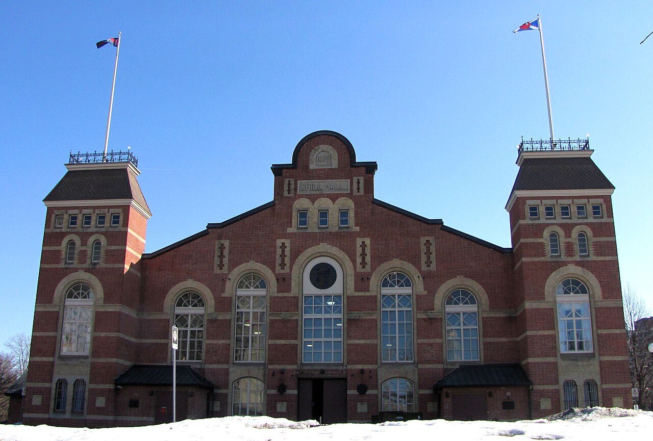
Drill Hall
In French: Manège militaire de la place Cartier
Also known as Cartier Square Drill Hall
1 Cartier Square, Centretown
About Drill Hall
Drill Hall is one of 11 Classified Federal Heritage Buildings in Centretown. Drill Hall dates from 1879–1882. 3 neighbours on the registers lie within 400 m.
The Drill Hall, also known as the Cartier Square Drill Hall, is a large, brick structure composed of a gable-roofed central hall and a façade on the short side with a large central door and corner towers. The unencumbered drill hall space is spanned by an impressive queen-post truss system, and lit by a clerestory, which runs along the ridge of the roof. Across its parade ground, the Cartier Square Drill Hall looks onto the heart of downtown Ottawa. The designation is confined to the footprint of the building.
From the Canadian Register of Historic Places, Drill Hall · Open Government Licence – Canada · the register’s own words, unchanged
Classified is the higher of the two ranks the federal government gives the heritage buildings it owns.
Make it a walk: 5 historic places in about 15 minutes
Centretown · about 900 m on foot, as the crow flies


- 1Drill HallStart here
- 2Lisgar Collegiate InstituteDesignated heritage property (part IV) · 100 m on
- 3Former Ottawa Teachers' CollegeNational Historic Site · 200 m on
- 4National Arts CentreNational Historic Site · 400 m on
- 5Central ChambersNational Historic Site · 200 m on
2 within 300 m
Every place on the record within this distance; each opens its own page.
Questions about Drill Hall
Is Drill Hall protected?
Yes, while the federal government owns it: changes go through its heritage review.
When was Drill Hall built?
By its record, Drill Hall dates from 1879–1882.
Can you visit Drill Hall?
The outside is easy to see; inside, it depends on the owner’s rules.
What is Drill Hall?
Drill Hall became a Classified Federal Heritage Building in 1985.
Contains information licensed under the Open Government Licence – Canada (Parks Canada).
Sources: Parks Canada, Directory of Federal Heritage Designations · Canadian Register of Historic Places (federal extract) · Photos: Wikimedia Commons, each credited with its licence and copied to our own server · Wikidata (CC0) for map points, other names and articles.
Adapted from Statistics Canada (Census of Population 2021, population estimates 2025, 2021 census boundaries) under the Statistics Canada Open Licence; this does not constitute an endorsement by Statistics Canada. Neighbourhood names in some cities © OpenStreetMap contributors (ODbL).