Buxton Settlement
In French: Établissement Buxton
Also known as Elgin Settlement
About Buxton Settlement
National Historic Site status goes to 2 places in Chatham, Buxton Settlement among them.
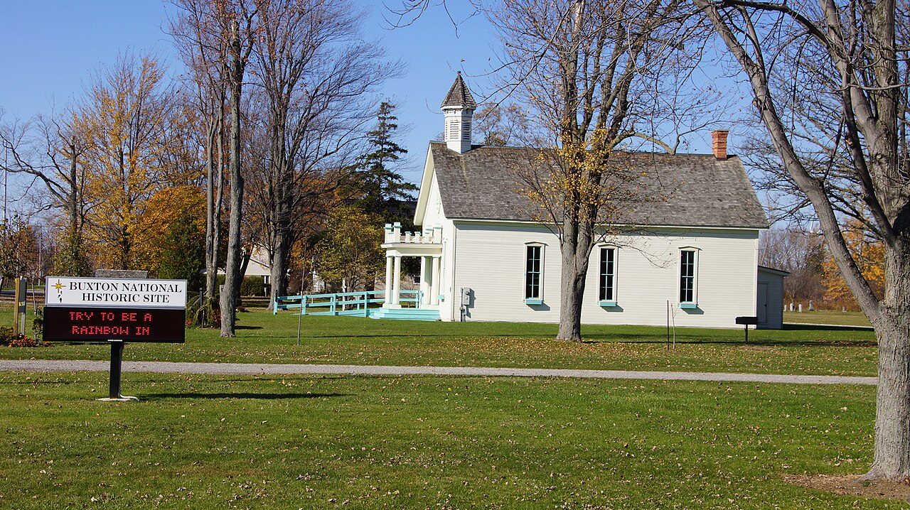
The Buxton Settlement National Historic Site of Canada is a cultural landscape of some 4,680 hectares. It is a primarily agricultural landscape, comprised of flat, worked fields defined by deep drainage ditches and a grid of intersecting roads. Homesteads are scattered throughout the settlement area including its two hamlets, South and North Buxton, which also contain important religious, educational and cultural institutions associated with the settlement's founding by Underground Railroad refugees.
From the Canadian Register of Historic Places, Buxton Settlement National Historic Site of Canada · Open Government Licence – Canada · the register’s own words, unchanged
The Historic Sites and Monuments Board recommends National Historic Sites; the designation marks national significance, not ownership.
Finding Buxton Settlement
Chatham


Nothing else on the registers lies within an easy stroll of it.
Questions about Buxton Settlement
What is Buxton Settlement?
Buxton Settlement is a National Historic Site of Canada, designated in 1999.
Is Buxton Settlement protected?
The designation recognizes its national significance; it doesn’t by itself protect a building the federal government doesn’t own. Provincial or municipal designation may.
Can you visit Buxton Settlement?
You can see it from the street, while entry depends on its current use.
Contains information licensed under the Open Government Licence – Canada (Parks Canada).
Sources: Parks Canada, Directory of Federal Heritage Designations · Canadian Register of Historic Places (federal extract) · Photos: Wikimedia Commons, each credited with its licence and copied to our own server · Wikidata (CC0) for map points, other names and articles.
Adapted from Statistics Canada (Census of Population 2021, population estimates 2025, 2021 census boundaries) under the Statistics Canada Open Licence; this does not constitute an endorsement by Statistics Canada. Neighbourhood names in some cities © OpenStreetMap contributors (ODbL).