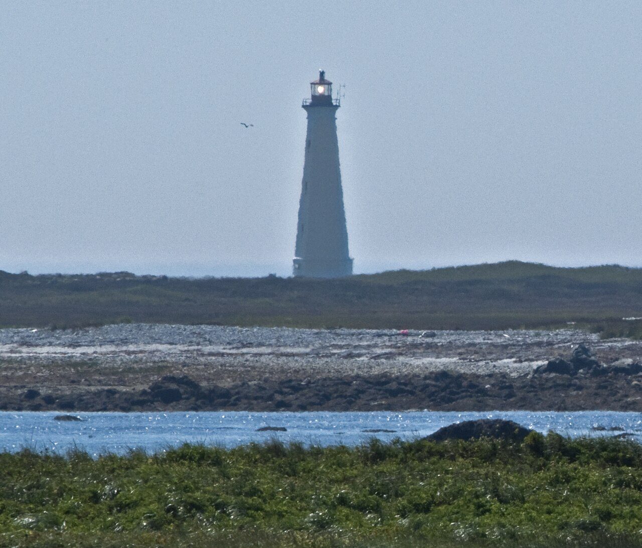
Lighthouse (new)
Also known as Cape Sable Lighttower , Cape Sable Lighthouse
Hawk Point Road, Barrington
About Lighthouse (new)
Lighthouse (new) is the one Classified Federal Heritage Building in Barrington. By its record, Lighthouse (new) was built in 1923–1924.
Sitting on the open landscape of Cape Sable Island, the Cape Sable Lighttower is an impressive thirty meter tall octagonal structure of reinforced concreted comprised of a pedimented base with an entry door, a tapered shaft with four small windows above the door, and a capital-like portion that is provided by the flared top of the shaft which provides a floor for the cast iron lantern above. It is among the tallest towers ever built with this design. The designation is confined to the footprint of the building.
From the Canadian Register of Historic Places, Lighthouse (new) · Open Government Licence – Canada · quoted as the register has it
Federal heritage buildings are Classified or Recognized; Classified is the higher rank.
Finding Lighthouse (new)
Barrington


Nothing else on the registers lies within an easy stroll of it.
Questions about Lighthouse (new)
What is Lighthouse (new)?
Lighthouse (new) became a Classified Federal Heritage Building in 1988.
When was Lighthouse (new) built?
Lighthouse (new) went up in 1923–1924, by its record.
Can you visit Lighthouse (new)?
Yes from the outside; whether it opens its doors is for its owner to say.
Is Lighthouse (new) protected?
As a Classified federal building, any work on it needs the federal heritage review’s advice while Canada owns it.
Contains information licensed under the Open Government Licence – Canada (Parks Canada).
Sources: Parks Canada, Directory of Federal Heritage Designations · Canadian Register of Historic Places (federal extract) · Photos: Wikimedia Commons, each credited with its licence and copied to our own server · Wikidata (CC0) for map points, other names and articles.
Adapted from Statistics Canada (Census of Population 2021, population estimates 2025, 2021 census boundaries) under the Statistics Canada Open Licence; this does not constitute an endorsement by Statistics Canada. Neighbourhood names in some cities © OpenStreetMap contributors (ODbL).