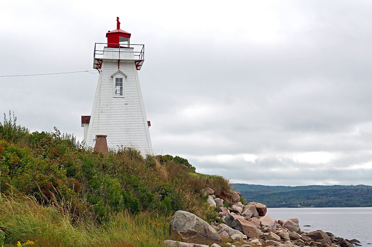
Schafner Point Lighthouse
In French: Phare de Schafner Point
Also known as Port Royal Ligthouse
Granville Road, Annapolis County, Subdivision A
About Schafner Point Lighthouse
Schafner Point Lighthouse is one of 2 heritage lighthouses in Annapolis County, Subdivision A. Its record dates Schafner Point Lighthouse to 1885.
The Schafner Point Lighthouse is a 13 metres (43 feet) square-tapered, wooden tower surmounted by a superimposed gallery and a red octagonal iron lantern. Constructed in 1885, it is the first lighthouse on the site but the second navigational aid erected on the Digby Gut–Annapolis Basin water corridor. It is located 11 km downstream from Annapolis Royal on the north side of the Annapolis Basin.
From the Canadian Register of Historic Places, Schafner Point Lighthouse · Open Government Licence – Canada · the register’s own words, unchanged
Canada protects designated lighthouses under a 2008 act.
Finding Schafner Point Lighthouse
Annapolis County, Subdivision A


There is no walk from here to another historic place; see farther afield.
Questions about Schafner Point Lighthouse
Is Schafner Point Lighthouse protected?
Its designation under the federal lighthouse act protects it.
Can you visit Schafner Point Lighthouse?
It can be seen from the street; whether you can go inside depends on its owner.
What is Schafner Point Lighthouse?
Schafner Point Lighthouse is a Heritage Lighthouse of Canada, designated in 2015.
When was Schafner Point Lighthouse built?
Its register puts the building of Schafner Point Lighthouse at 1885.
Contains information licensed under the Open Government Licence – Canada (Parks Canada).
Sources: Parks Canada, Directory of Federal Heritage Designations · Canadian Register of Historic Places (federal extract) · Photos: Wikimedia Commons, each credited with its licence and copied to our own server · Wikidata (CC0) for map points, other names and articles.
Adapted from Statistics Canada (Census of Population 2021, population estimates 2025, 2021 census boundaries) under the Statistics Canada Open Licence; this does not constitute an endorsement by Statistics Canada. Neighbourhood names in some cities © OpenStreetMap contributors (ODbL).