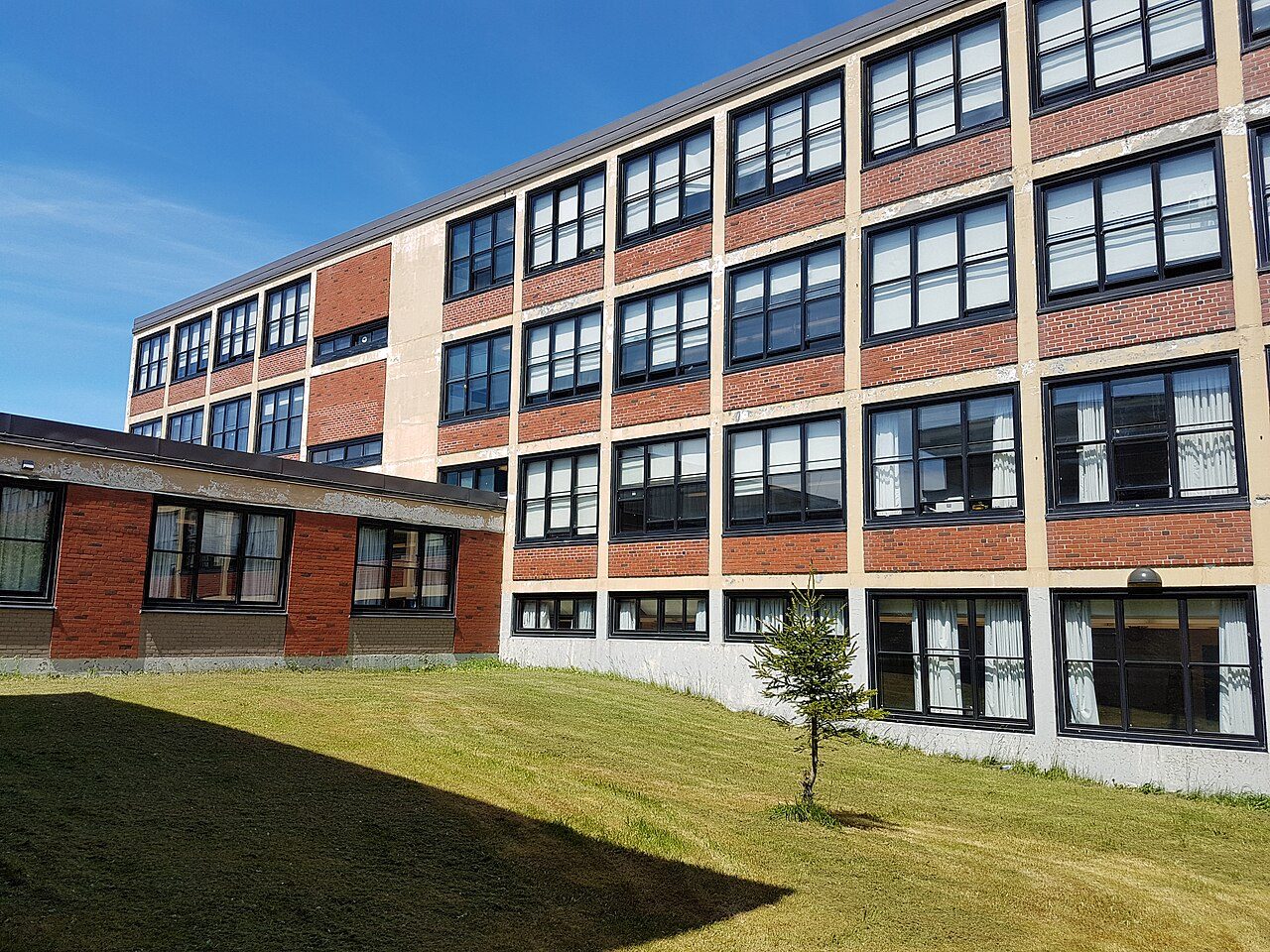
Gonzaga Regional High
20 Smithville Cres · St. John's · A1B 2V2 · NLESD - Eastern Region
Gonzaga Regional High is one of 11 secondary schools in or within 3 km of St. John's. Every school in and around St. John's →
What stands out about Gonzaga Regional High
- Public and English-language, under NLESD - Eastern Region.
No standing for Gonzaga Regional High
The province publishes no results school by school, so Gonzaga Regional High has no results band.
That also leaves St. John's without a School Grade.
Getting a place at Gonzaga Regional High
Registration happens with the board, not the school; the board names the school for the address.
The provinces’ education acts and the boards’ own admission policies; check with the board for a given address.
Side by side with the nearest secondary schools
The closest schools of its level, by straight-line distance.
| School | System | Language | Away |
|---|---|---|---|
| Gonzaga Regional High | English public | English | |
| Brother Rice Junior High | English public | English | 1.1 km |
| Holy Heart of Mary Regional High | English public | English | 1.3 km |
| Prince of Wales Collegiate | English public | English | 1.8 km |
| Macdonald Drive Junior High | English public | English | 1.9 km |
| École Rocher-du-Nord | French public | French | 2.5 km |
| District School | English public | English | 2.6 km |
Secondary schools near Gonzaga Regional High
Nearest first, as the crow flies, up to 25 km. Each school’s own admission policy decides who gets a place.
Questions about Gonzaga Regional High
Who runs Gonzaga Regional High?
Gonzaga Regional High comes under NLESD - Eastern Region (English public).
What language does Gonzaga Regional High teach in?
English.
How do pupils get a place at Gonzaga Regional High?
The board’s school locator gives the designated school; registration is with the board or the school.
Which schools of the same kind are near Gonzaga Regional High?
Closest by: Brother Rice Junior High (1.1 km), Holy Heart of Mary Regional High (1.3 km) and Prince of Wales Collegiate (1.8 km).
Sources: Statistics Canada, Open Database of Educational Facilities v2.1 (2019–22) · map tiles © OpenStreetMap contributors. Under the Statistics Canada Open Licence.
Adapted from Statistics Canada (Census of Population 2021, population estimates 2025, 2021 census boundaries) under the Statistics Canada Open Licence; this does not constitute an endorsement by Statistics Canada. Neighbourhood names in some cities © OpenStreetMap contributors (ODbL).