 Top
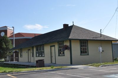
National Historic Site · 1917–1919Former Carbonear Railway Station (Newfoundland Railway)Water Street WestPhoto: Magicpiano · CC BY-SA 3.0 · Commons file
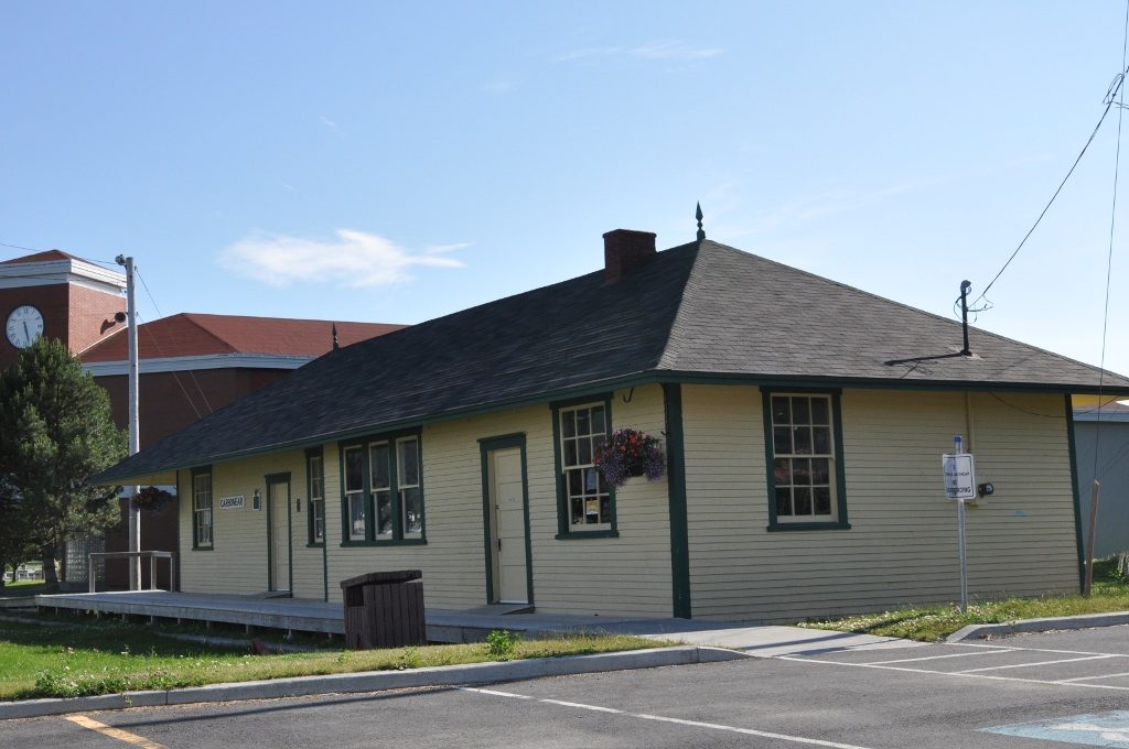 Former Carbonear Railway Station (Newfoundland Railway) · Photo: Magicpiano · CC BY-SA 3.0
1historic place on the registers
History of Carbonear · Canada’s heritage registers
Carbonear: 1 historic place, with the highest designation
Former Carbonear Railway Station (Newfoundland Railway), from 1917, is Carbonear’s national historic site. For the municipality itself, Wikidata has 1631, which can be an incorporation or a merger rather than a founding. Scaled to its population, Carbonear’s 2 per 10,000 residents beats 86% of Canadian towns. Local registers add 9 more places, counted here but not paged: Wikidata holds their numbers and little else.
Historic places
1
2 per 10,000 residents
Highest designations
1
National Historic Sites and Classified Federal Heritage Buildings
Oldest building
1917
the first construction date on its record
Homes built before 1961
19%
typical town: 18%
The map
Where Carbonear’s history is
Every place on the registers inside the town, by its designation.
Highest designations
Names show on hover, and a tap takes you to the place’s page.
The 1, by tier
1 Highest designations
What the map shows is the open record: the federal directory in full, and from provincial or municipal lists only the places Wikidata ties to an encyclopedia article.
Points from Wikidata (Parks Canada’s files carry none) and from Québec’s register, as mapped there.
Highest designations
One place in Carbonear with the highest designation
National Historic Sites and Classified Federal Heritage Buildings, Canada’s highest federal recognition. Each one opens its own page.
Around the town
Within 25 km of Carbonear, 3 top designations
The registers hold 5 within 25 km. At 4.8 km, Harbour Grace Court House in Harbour Grace is the closest. They are 3 National Historic Sites and 2 provincial or municipal listings.
The 5 nearest, within 25 km
| Harbour Grace Court HouseNational Historic Site · 1830–1831 · 4.8 km away, in Harbour Grace |
| Cable BuildingNational Historic Site · 1913–1914 · 16 km away, in Bay Roberts |
| Kent CottageRegistered heritage structure · 22 km away, in Division No. 1, Subdivision M |
| Brigus Stone BarnRegistered heritage structure · 22 km away, in Division No. 1, Subdivision M |
| Hawthorne CottageNational Historic Site · 1830–1831 · 22 km away, in Division No. 1, Subdivision M |
Homes by age
Carbonear’s building boom came from 1961 to 1980: 35% of its homes
More than half of Carbonear’s housing predates 1981. Before 1961: 19% of Carbonear’s homes, near the usual 18%. New building in Carbonear runs at the usual pace: 4.8% of homes from 2016–21, the typical town 4.1%.
19%
Before 1961
35%
1961–80
22%
1981–2000
18%
2001–15
4.8%
2016–21
CarbonearTypical town
2021 Census, private dwellings by period of construction (Statistics Canada); the typical town is the middle Canadian town of 2,500 or more.
Born here
Carbonear’s 7 natives of the years before 1914
Of the 7, 5 were born in the decades after Confederation. It starts with William Gosse, born in 1813. George W. Clarke reached 90, the longest life here, ending in 2000. Robert William Boyle is the most written about, in 11 languages.
William Gosse
Joseph Maddock
Robert Duff
William Duff
John S. Currie
Robert William Boyle
George W. Clarke
1800182518501875190019251950

Robert William Boyle1883–1955 · Canadian-British physicist

William Duff1872–1953 · Canadian politician

John S. Currie1877–1956 · Newfoundland journalist and politician
WG
William Gosse1813–1883 · Australian doctor
GC
George W. Clarke1910–2000 · Canadian politician

Joseph Maddock1862–1942 · Politician and businessman

Robert Duff1868–1928 · Merchant and politician in Newfoundland
Everyone born in Carbonear → Born before 1914 (the page’s periods: Confederation to the First World War). Birthplaces from Wikidata, each checked against the person’s Wikipedia article.
Towns its size
Carbonear has the most of 16 towns its size
Towns of 5,000 to 5,100 residents, by places on the registers.
Carbonear1
Their median is 0. 14 of them have none.
Neighbours
Carbonear and its neighbours
| Town | People | Places | Highest | Oldest |
|---|---|---|---|---|
| Carbonear | 5,041 | 1 | 1 | 1917 |
| Victoria | 1,837 | 0 | 0 | — |
| Harbour Grace | 2,872 | 1 | 1 | 1830 |
| Upper Island Cove | 1,553 | 0 | 0 | — |
| Spaniard's Bay | 2,664 | 0 | 0 | — |
| Bay Roberts | 6,407 | 1 | 1 | 1913 |
In brief
Carbonear in brief
The pre-1961 share of Carbonear’s homes is 19%, against 18% in the typical town. The lists come to 1 historic place, one with the highest designation, including Former Carbonear Railway Station (Newfoundland Railway). No town its size has more historic places: it leads the 16 nearest in population. Of its people of the past, the best known are Robert William Boyle (1883), William Duff (1872) and John S. Currie (1877). Everything else is close to the norm: its one place was designated in 1988.
How to read these numbers
What this data can and can’t tell you
- The grade. This page gives no grade; history doesn’t count toward a Canadian town’s letter.
- The federal register. Federal places come from Parks Canada’s directory, which counts National Historic Sites, federal heritage buildings, stations and lighthouses; their statements are the register’s own.
- People and events. Persons of national historic significance come with no location; a town gets one only by birthplace (name and both life years agreeing) or by one of its own places that bears the name and whose record tells the story. Events, which can’t be tied, are left out.
- Map points. Parks Canada publishes no coordinates, so federal places are pinned where Wikidata puts them.
- The tiers. The highest designations are National Historic Sites, Classified Federal Heritage Buildings and Québec’s classements; then come the other federal designations; then provincial and local listings.
- Protection. National historic designation honours a place but binds only federal owners; a private building’s protection depends on its province or municipality.
- Provincial and municipal lists. Outside Québec, provinces’ and municipalities’ heritage registers aren’t open data; their places are known only through Wikidata items with a register number, and only those with an encyclopedia article get a page.
Questions about Carbonear’s history
Which places in Carbonear have the highest designation?
It is Former Carbonear Railway Station (Newfoundland Railway).
What is the oldest building in Carbonear?
By its record, Former Carbonear Railway Station (Newfoundland Railway), from 1917 (National Historic Site).
Why might a heritage building in Carbonear be missing here?
Only federal designations are fully open outside Québec. 9 more listings in Carbonear are known through Wikidata alone, so they are counted, not paged.
How old are the homes in Carbonear?
Before 1961: 19% of its homes; the typical town has 18%.
Contains information licensed under the Open Government Licence – Canada (Parks Canada).
Sources: Parks Canada, Directory of Federal Heritage Designations · Canadian Register of Historic Places (federal extract) · Wikidata (CC0) for map points, other names and articles · Statistics Canada, 2021 Census (homes by period of construction). Under the Statistics Canada Open Licence.
Adapted from Statistics Canada (Census of Population 2021, population estimates 2025, 2021 census boundaries) under the Statistics Canada Open Licence; this does not constitute an endorsement by Statistics Canada. Neighbourhood names in some cities © OpenStreetMap contributors (ODbL).