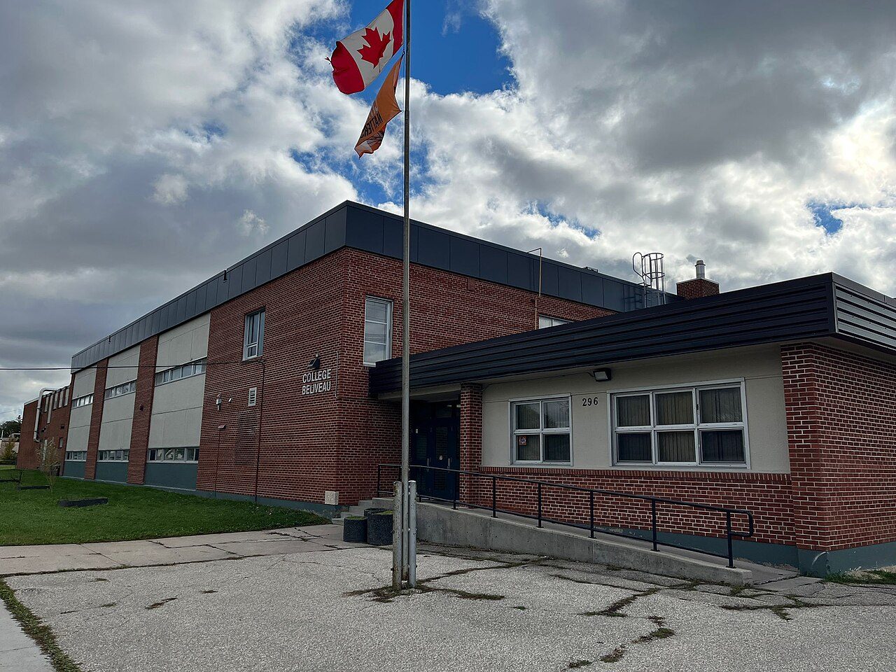
Collège Béliveau
296 Chemin Speers · Winnipeg · R2J 1M7 · Louis Riel School Division
Collège Béliveau: one of the 13 secondary schools within 3 km of Windsor Park. Every school in and around Windsor Park →
What stands out about Collège Béliveau
- An English public school, run by Louis Riel School Division.
Why Collège Béliveau has no results band
Placing Collège Béliveau would take results by school, and the province publishes no results school by school.
That also leaves Windsor Park without a School Grade.
Getting a place at Collège Béliveau
No application round, no lottery: the address fixes the school, and the board handles the paperwork.
The provinces’ education acts and the boards’ own admission policies; check with the board for a given address.
Side by side with the nearest secondary schools
The closest schools of its level, by straight-line distance.
| School | System | Language | Away |
|---|---|---|---|
| Collège Béliveau | English public | English | |
| Windsor Park Collegiate | English public | English | 0.3 km |
| Louis Riel S.D. Arts and Technology Ctr. | English public | English | 0.7 km |
| J. H. Bruns Collegiate | English public | English | 1.8 km |
| Glenlawn Collegiate | English public | English | 3.1 km |
| St. Boniface Diocesan High School | English Catholic | English | 3.4 km |
| Nelson McIntyre Coll. Summer School | English public | English | 3.7 km |
Secondary schools near Collège Béliveau
Nearest first, as the crow flies, up to 25 km. Each school’s own admission policy decides who gets a place.
Questions about Collège Béliveau
Who runs Collège Béliveau?
Collège Béliveau belongs to Louis Riel School Division (English public).
What language does Collège Béliveau teach in?
English.
How do pupils get a place at Collège Béliveau?
Each board registers its own students; its website gives the school for an address.
Which schools of the same kind are near Collège Béliveau?
Closest by: Windsor Park Collegiate (0.3 km), Louis Riel S.D. Arts and Technology Ctr. (0.7 km) and J. H. Bruns Collegiate (1.8 km).
Sources: Statistics Canada, Open Database of Educational Facilities v2.1 (2019–22) · map tiles © OpenStreetMap contributors. Under the Statistics Canada Open Licence.
Adapted from Statistics Canada (Census of Population 2021, population estimates 2025, 2021 census boundaries) under the Statistics Canada Open Licence; this does not constitute an endorsement by Statistics Canada. Neighbourhood names in some cities © OpenStreetMap contributors (ODbL).