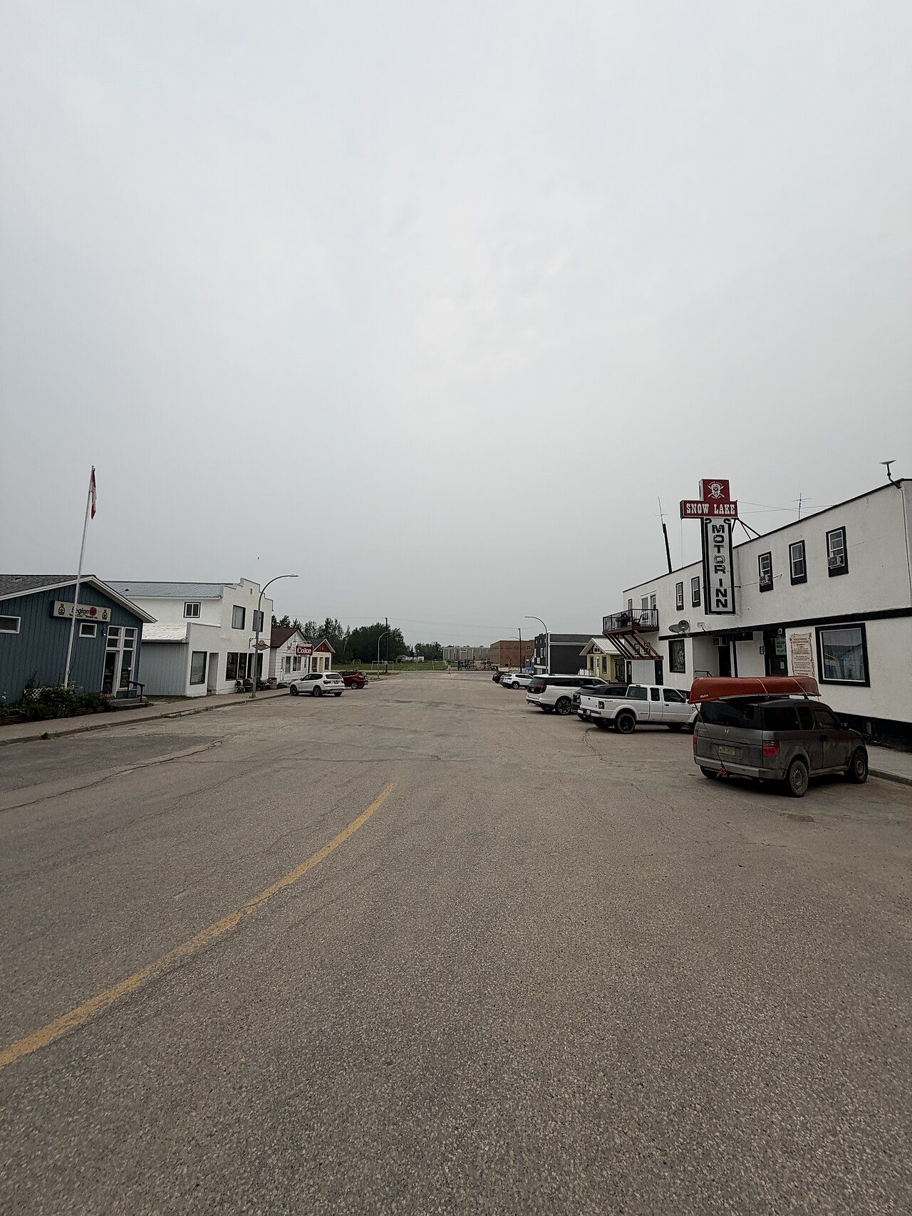
 Photo: FiveXdollars · CC0
On hazards, Snow Lake comes out behind almost every Canadian town
Wildfire is Snow Lake’s dominant hazard: 41% of the land within 25 km has burned since 1986, 1.05% a year. Shaking is less of a worry than in most places, at $0.004 a year per $1,000 of building value ($0.030 typical). In Health Canada’s survey, 12% of homes tested in the area exceeded 200 Bq/m³ (6.6% typical). Snow Lake grades D− for hazard risk, with wildfire counted against it.
What stands out about Snow Lake’s hazards
Four national sources, each read for Snow Lake: earthquakes, radon, past fires and flood studies.
What Snow Lake faces
Each hazard against its own yardstick; meters run from low to high on that yardstick.
Wildfire
Earthquakes
Radon
Flood study
Hazard risk in Snow Lake: D−
The grade weighs Snow Lake’s seismic risk and radon equally, and wildfire is one-sided: a high band counts against a town, a low one earns nothing.
How sure: Earthquake losses are a model’s expectation over many years, not a forecast for any one. Small fires and grass fires are largely missing from the national burned-area record.
33% of the land near Snow Lake’s homes has burned since 1986, 41% within 25 km
Fires mapped since 1986 around where Snow Lake’s residents live, and the fuel next to their homes.
The yearly burn rate around Snow Lake is 1.05%, against 0.000% for the typical Canadian town: the very high band.
More forest grows near Snow Lake’s homes (62% within 5 km) than across 25 km (54%).
Shares of land within 5 and 25 km of populated blocks: burned at least once in 1986–2025 (CWFIS burned-area composite), forest fuel and grass (fire behaviour fuel types, 2026, 250 m grid).
Burn rate a year, towns in Manitoba · highest of 190
In the top quarter in Manitoba: Snow Lake ranks 2nd of 190 at 1.05% a year, with Flin Flon (Part) first at 1.68%.
Each bar: the yearly average share of land within 25 km of a town’s homes that burned, 1986–2025 (CWFIS); the seven highest towns of 2,500 people or more.
Very high is the rarest band, 0.2% of Canada’s 2,610 towns, and Snow Lake is in it.
Bands of the yearly burn rate: low under 0.05%, moderate under 0.25%, high under 1%, very high 1% or more; towns of 2,500 people or more.
Fire danger and active fires (CWFIS)
Canadian Wildland Fire Information System: National Burned Area Composite 1986–2025 and fire behaviour fuel types (2026), Natural Resources Canada. Measured within 25 km and 5 km of each populated dissemination area; past fire, not a forecast.
No flood study is listed for Snow Lake
Flood studies whose area touches Snow Lake, from NRCan’s inventory, each linked to its owner.
NRCan’s inventory is silent on Snow Lake, so any flood map would be the municipality’s own.
Towns with a flood study on file
Flood maps are thinner in Manitoba, 18% of towns against 58% nationally, and Snow Lake has none.
NRCan Canada Flood Map Inventory: a study footprint touching the town’s boundary; towns of 2,500 people or more.
Flood mapping is shown for Snow Lake to be opened and checked, never turned into a grade.
The inventory’s own caution (NRCan): “The Canada Flood Map (CFM) does not include every flood hazard map in Canada and may be incomplete or contain inaccuracies. It should not be relied upon as the official source of flood mapping information. Furthermore, if a map appears to be missing, this does not necessarily mean that the area has never been mapped. For the official version of a map, updated information, or confirmation of applicable regulations, please contact the local authority responsible for flood mapping.”
Earthquakes cost buildings in Snow Lake just $0.004 per $1,000 a year
NRCan’s seismic risk model: the damage shaking is expected to do to buildings each year, on average over many years.
Snow Lake’s $0.004 is a fraction of the typical town’s $0.030 (0.1 times as much): quiet ground by Canadian standards.
Shaking damage a year per $1,000 of building value
Below the middle in Manitoba: Snow Lake’s $0.004 against a median of $0.006; Virden has $0.007.
NRCan seismic risk model (2022): mean yearly building loss per $1,000 of value; medians of towns of 2,500 people or more.
Nearly every one of Canada’s 2,611 towns (98%) expects more shaking damage than Snow Lake.
Each column: the share of Canada’s towns of 2,500 people or more in that range of yearly loss per $1,000 (NRCan, 2022).
The loss is to Snow Lake’s buildings alone, from ground shaking; infrastructure and secondary hazards are left out.
Natural Resources Canada, Canada’s Seismic Risk Model (2022), by census subdivision (2016 boundaries; a few 2021 subdivisions take their residents’ mean).
Radon runs high around Snow Lake: 12% of tested homes over the guideline
Health Canada’s survey of long-term home tests: the share above the 200 Bq/m³ guideline. · The radon tests numbers here cover the Norman health region
A higher share than most: 12% of tested homes around Snow Lake, the typical Canadian town 6.6%.
Tested homes over 200 Bq/m³
Over 600 Bq/m³
Around Snow Lake, 12% of tests topped the guideline, close to the typical town in Manitoba (12%); 0.5% were over 600.
Health Canada radon survey (2009–2011), by 2007 health region; medians of towns of 2,500 people or more.
More high tests than most: Snow Lake sits in a band that only 22% of Canada’s 2,611 towns share, with 4.6% above.
Each bar: the share of Canada’s towns of 2,500 people or more whose survey area had that share of tests over 200 Bq/m³.
A survey sample isn’t a map: any home in Snow Lake can be high, and a three-month test is the only way to know.
Health Canada, Cross-Canada Survey of Radon Concentrations in Homes (2009–2011).
Weather and fire alerts for Snow Lake
Alerts for Snow Lake come from Environment and Climate Change Canada and, for emergencies, Alert Ready.
| Alert | What it means |
|---|---|
| Warning | Severe weather is happening or about to: act now. |
| Watch | Conditions favour severe weather: be ready. |
| Advisory | Weather that is less severe but could disrupt the day. |
| Special weather statement | Unusual weather worth knowing about. |
| Special air quality statement | Poor air, often wildfire smoke. |
Fire danger and active fires near Snow Lake are mapped daily by the Canadian Wildland Fire Information System; evacuation orders come from the municipality or province.
Weather alerts (ECCC) · Alert Ready · Fire danger and active fires (CWFIS)
Get ready for what Snow Lake faces
What to do about the hazards Snow Lake faces, and what to ask before you buy.
- Clear needles and wood nearby.
- Keep a grab-and-go bag ready.
- In smoke, stay in; filter air.
- Test for three months in winter.
- Over 200 Bq/m³: fix it.
- Kits are cheap; pros test too.
- Never drive through floodwater.
- Move papers and medicines upstairs.
- Ask whether your street is mapped.
- Has it had a radon test?
- Ask the municipality for flood maps.
- How close is the forest edge?
- Are flood and wildfire insured?
What this data can and can’t tell you
- Radon is a survey. About 14,000 homes were tested across Canada in 2009–2011, and the share over the guideline for Snow Lake is its health region’s, the survey’s design unit.
- Flood studies aren’t flood zones. NRCan’s inventory says where flood mapping exists, not where water goes; the map’s owner is the authority for Snow Lake.
- Wildfire counts one way. The wildfire figure is the share of land within 25 km of Snow Lake’s homes burned each year from 1986 to 2025, past fire rather than a forecast, and it can only lower Risk.
- Earthquakes are modelled. Shaking damage is modelled from the ground, the buildings and the odds of each quake, and published for whole subdivisions such as Snow Lake’s.
Questions about flooding and hazards in Snow Lake
How big is the earthquake risk in Snow Lake?
Expected earthquake damage in Snow Lake comes to $0.004 a year for each $1,000 that buildings are worth.
Is radon a problem in Snow Lake?
In Health Canada’s survey, 12% of 212 homes tested in Snow Lake’s area were above 200 Bq/m³, though only a test tells you about one house.
Is Snow Lake at risk of wildfire?
Yes, by Canadian standards: Snow Lake’s band is very high, with 41% of the land within 25 km burned since 1986 (last in 2025), so wildfire counts against its Risk grade.
Does Snow Lake flood?
Nothing is listed for Snow Lake on the national inventory (0); local maps may still exist with the municipality.
How is Snow Lake’s Hazard risk Grade worked out?
Hazard risk gives Snow Lake D−, weighing earthquakes and radon and counting wildfire only against it.
Seismic risk: Natural Resources Canada. Radon: Health Canada. Wildfire: Canadian Wildland Fire Information System. Flood studies: Natural Resources Canada, Canada Flood Map Inventory. Contains information licensed under the Open Government Licence – Canada.
Sources: NRCan, Canada’s Seismic Risk Model 2022 · Health Canada, Cross-Canada Survey of Radon Concentrations in Homes · CWFIS, National Burned Area Composite and FBP fuel types · NRCan, Canada Flood Map Inventory. Under the Statistics Canada Open Licence.
Adapted from Statistics Canada (Census of Population 2021, population estimates 2025, 2021 census boundaries) under the Statistics Canada Open Licence; this does not constitute an endorsement by Statistics Canada. Neighbourhood names in some cities © OpenStreetMap contributors (ODbL).