Photo: Royal Air Force official photographer · Public domain
0historic places on the registers
History of Carberry · Canada’s heritage registers
Back to 1882, when Carberry was founded
The nearest heritage to Carberry is Camp Hughes, 14 km off, one of 9 places within 50 km. 2 old photographs show Carberry between 1884 and 1942. Heritage of the first rank begins 19 km away, in North Cypress-Langford. Records name 2 people born in Carberry before 1914; the first is Walter Henderson.
Historic places within 50 km
9
4 of the highest designation
Nearest historic place
14 km
Camp Hughes
Homes built before 1961
25%
typical town: 18%
Born here before 1914
2
the earliest in 1891
Through time
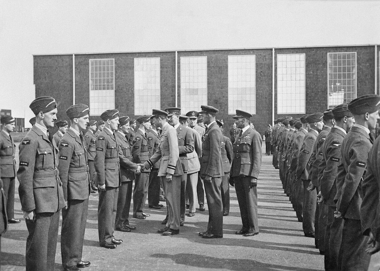
Carberry from 1884 to 1942
In order of date: 2 old photographs of the town. Swipe along the strip; each picture opens at full size.
1875190019251950Confederation to 1900Boom yearsThe wars and betweenAfter the war
Public domain or CC0, made before 1950, from Wikimedia Commons; old views of places can be drawings, prints or maps of their time. Each credit opens the image’s page.
How it began
Back to 1882: the start of Carberry
Carberry got its start in 1882. That was 144 years ago. Its charter made Carberry a town in 1905.
Around Carberry, within 50 km, most dated places come from the decades after Confederation
The nearest historic places to Carberry, out to 50 km, by the first construction date on each record.
British North America 1760–18660
After Confederation 1867–19135
Wars and Depression 1914–19452
Since 1946 1946 on0
Dated places within 50 km: 7. The earliest is Neepawa Court House / Beautiful Plains County Court Building in Neepawa, begun in 1884.
Around the town
The registers find 9 places within 50 km of Carberry
Closest of all is Camp Hughes, in North Cypress-Langford, 14 km off. The oldest, Neepawa Court House / Beautiful Plains County Court Building, dates from 1884, 41 km away. Between them, 4 towns share them, mainly Brandon, Neepawa and North Cypress-Langford.
The 9 nearest, within 50 km
Camp HughesNational Historic Site · 1915 · 14 km away, in North Cypress-Langford
Old houses stand out in Carberry: 25% predate 1961, where most towns have 18%
New building is strong in Carberry: 6.3% of homes date from 2016–21, where most towns have 4.1%. More of Carberry’s homes were built from 1981 to 2000 than in any other period: 27%. Half of the homes standing in Carberry today were built before 2001.
25%
Before 1961
25%
1961–80
27%
1981–2000
16%
2001–15
6.3%
2016–21
CarberryTypical town
2021 Census, private dwellings by period of construction (Statistics Canada); the typical town is the middle Canadian town of 2,500 or more.
Housing in Carberry includes 25% built before 1961, against 18% in the typical town. Beyond that, Wop May (1896) and Walter Henderson (1891) are its people of the past on the record.
How to read these numbers
What this data can and can’t tell you
•
Protection. Federal recognition isn’t a planning control: buildings the federal government owns follow its heritage policy, while others are protected only by a provincial or municipal designation.
•
The federal register. The federal list is complete and open: Parks Canada’s directory for the designations, the Canadian Register of Historic Places for what each one is and why it matters.
•
The tiers. Tiers follow the designation: national recognition and classement first, other federal designations next, provincial and local listings last.
•
Provincial and municipal lists. Outside Québec, provinces’ and municipalities’ heritage registers aren’t open data; their places are known only through Wikidata items with a register number, and only those with an encyclopedia article get a page.
•
People and events. National historic persons carry no place in the open file. They appear on a town’s page when born there (same name, same birth and death years) or when a historic place inside it carries their name and its record names them with their dates; national historic events don’t appear.
•
The grade. There is no history grade: the page sets out the record and compares it with other towns.
Questions about Carberry’s history
How many historic places does Carberry have on the registers?
Not within Carberry. Its nearest is a top designation: Camp Hughes, 14 km away in North Cypress-Langford.
How old are the homes in Carberry?
25% predate 1961, where the typical town has 18%.
Contains information licensed under the Open Government Licence – Canada (Parks Canada).
Sources: Parks Canada, Directory of Federal Heritage Designations · Canadian Register of Historic Places (federal extract) · Wikidata (CC0) for map points, other names and articles · Statistics Canada, 2021 Census (homes by period of construction). Under the Statistics Canada Open Licence.

 1884
 1940–1945