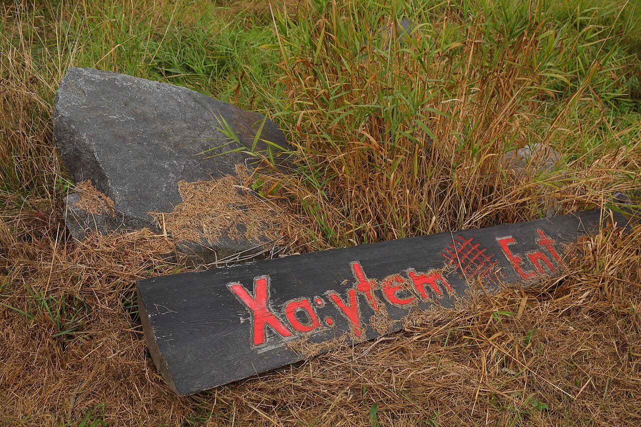
Xá:ytem / Hatzic Rock
In French: Xá:ytem
35087 Lougheed Street, Mission
About Xá:ytem / Hatzic Rock
National Historic Site status goes to 2 places in Mission, Xá:ytem / Hatzic Rock among them.
Xá:ytem / Hatzic Rock National Historic Site of Canada is located on the eastern edge of the City of Mission, British Columbia, approximately 100 km east of Vancouver. The site comprises two distinct elements, an archaeological habitation site dating back to 5000 BP, and an ancient Stó:lo sacred transformer stone. The identifying feature is the transformer stone which sits on sloping, low-lying ground, formerly a beach on the northern banks of the Fraser River. The size and continuity of the habitation site, which sheltered large numbers of Stó:lo over extended periods, speaks to its significance. Formal recognition refers to the designated place of Xá:ytem, the Hatzic Rock habitation site and the transformer site, both contained within the lands administered by the Xá:ytem Longhouse Interpretive Centre.
From the Canadian Register of Historic Places, Xá:ytem / Hatzic Rock National Historic Site of Canada · Open Government Licence – Canada · as published, word for word
A National Historic Site is designated by the federal minister on the Historic Sites and Monuments Board’s advice.
Finding Xá:ytem / Hatzic Rock
Mission


Its nearest historic neighbours are too far for a short walk.
Questions about Xá:ytem / Hatzic Rock
Can you visit Xá:ytem / Hatzic Rock?
Its exterior is visible from public ground; access inside is up to the owner.
Is Xá:ytem / Hatzic Rock protected?
National Historic Site status commemorates; legal protection, where there is any, comes from the province or municipality, or from federal ownership.
What is Xá:ytem / Hatzic Rock?
Xá:ytem / Hatzic Rock has been a National Historic Site of Canada since 1992.
Contains information licensed under the Open Government Licence – Canada (Parks Canada).
Sources: Parks Canada, Directory of Federal Heritage Designations · Canadian Register of Historic Places (federal extract) · Photos: Wikimedia Commons, each credited with its licence and copied to our own server · Wikidata (CC0) for map points, other names and articles.
Adapted from Statistics Canada (Census of Population 2021, population estimates 2025, 2021 census boundaries) under the Statistics Canada Open Licence; this does not constitute an endorsement by Statistics Canada. Neighbourhood names in some cities © OpenStreetMap contributors (ODbL).