Fort Augustus and Fort Edmonton · Photo: Sandra Cohen-Rose and Colin Rose · CC BY-SA 2.0
2historic places on the registers
History of Sturgeon County · Canada’s heritage registers
Sturgeon County’s record starts in 1794 with Fort Augustus and Fort Edmonton
On the registers Sturgeon County counts 2 historic places, one at the top. Per resident that is more than in 79% of Canadian towns: 0.9 for every 10,000 people. Counted by designation, there are a provincial or municipal listing.
National Historic Sites and Classified Federal Heritage Buildings
Provincial and local listings
1
provincial and municipal listings with an encyclopedia article
Oldest building
1794
the first construction date on its record
Homes built before 1961
11%
typical town: 18%
In pictures
2 photos of Sturgeon County’s landmarks, and 1 from before 1950
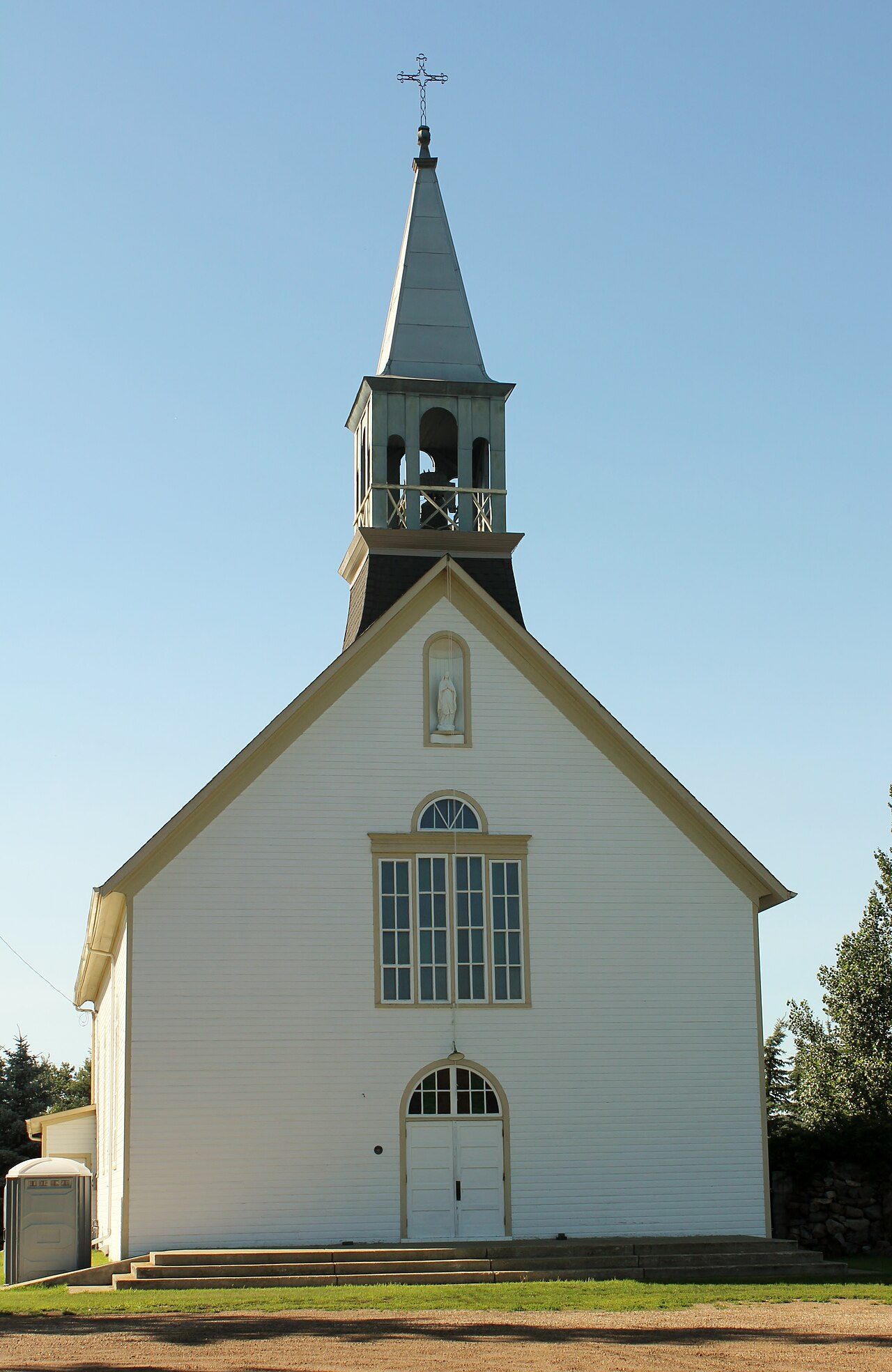
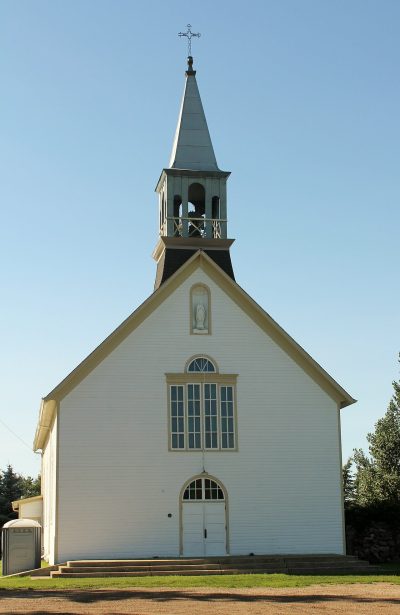
Photos show both of the places Sturgeon County’s registers name. Up first are Fort Augustus and Fort Edmonton and Notre Dame De Lourdes Roman Catholic Church.
Photos from Wikimedia Commons, each credited to its photographer with its licence; names open the place’s page. Tap a photo to step through them full screen.
Through time
Sturgeon County, long ago
From before 1950 comes the oldest view of one of its historic places. A tap opens it at full size, with its credit.
Public domain or CC0, made before 1950, from Wikimedia Commons; old views of places can be drawings, prints or maps of their time. Each credit opens the image’s page.
How it began
Back to 1955: Sturgeon County’s first record
Sturgeon County is named after Sturgeon River, watercourse in Alberta, Canada. Wikidata holds 1955 as the start of the municipality of Sturgeon County, a date that can just as well be an incorporation.
Every place on the registers inside the town, by its designation.
Highest designationsProvincial and local listings
Names show on hover, and a tap takes you to the place’s page.
The 2, by tier
1 Highest designations1 Provincial and local listings
The federal directory kept by Parks Canada supplies most of these places; provincial and municipal lists outside Québec aren’t open data, so only the ones Wikidata documents with an article appear.
Points from Wikidata (Parks Canada’s files carry none) and from Québec’s register, as mapped there.
Highest designations
The highest rank in Sturgeon County: one place
National Historic Sites and Classified Federal Heritage Buildings, Canada’s highest federal recognition. Each one opens its own page.
The highest designation, once, within 25 km of Sturgeon County
Within 25 km there are 11 in all. At 22 km, Alberta Aviation Museum in Sherbrooke is the closest. They are spread over 7 towns, including Downtown, Sherbrooke and Highlands.
Few of Sturgeon County’s homes are older than 1961: 11%, against 18%
The busiest building years in Sturgeon County were from 1961 to 1980, which account for 29% of today’s homes. 28% of Sturgeon County’s homes were built from 2001 to 2015, more than the typical town’s 15%. Homes built from 2016 to 2021 are 4.3% of Sturgeon County’s, about the typical 4.1%.
11%
Before 1961
29%
1961–80
28%
1981–2000
28%
2001–15
4.3%
2016–21
Sturgeon CountyTypical town
2021 Census, private dwellings by period of construction (Statistics Canada); the typical town is the middle Canadian town of 2,500 or more.
Towns its size
Sturgeon County has the most of 16 towns its size
Towns of 20,900 to 21,400 residents, by places on the registers.
Sturgeon County has 2 historic places, one with the highest designation, among them Fort Augustus and Fort Edmonton. Among the 16 towns nearest its size, none has more historic places. Its oldest homes, those from before 1961, are 11% of the total, against 18% in the typical town. The rest is about typical: its designation dates from 1923.
How to read these numbers
What this data can and can’t tell you
•
The federal register. Every federal designation is in Parks Canada’s directory, and the Canadian Register of Historic Places gives most of them a bilingual statement of significance.
•
People and events. Parks Canada’s open file gives its national historic persons no place. A town’s page names one only when the person was born there (matched by name and both life years) or one of its own historic places carries the name and its record speaks of them; national historic events stay off.
•
The grade. There is no history grade: the page sets out the record and compares it with other towns.
•
Map points. Where a federal place sits on the map is Wikidata’s placing; the directory itself has no coordinates.
•
Provincial and municipal lists. Provincial and municipal listings here come from Wikidata alone, since the provinces’ own registers can’t be reused; a listing needs an encyclopedia article to get a page.
•
The tiers. Tiers follow the designation: national recognition and classement first, other federal designations next, provincial and local listings last.
•
Protection. A National Historic Site designation recognises significance; it doesn’t by itself protect a building the federal government doesn’t own. Legal protection comes from provincial and municipal designations, whose own registers aren’t open data outside Québec.
Questions about Sturgeon County’s history
What is the oldest building in Sturgeon County?
Fort Augustus and Fort Edmonton — its record dates it to 1794 (National Historic Site).
Which places in Sturgeon County have the highest designation?
Fort Augustus and Fort Edmonton.
How old are the homes in Sturgeon County?
Before 1961: 11% of its homes; the typical town has 18%.
Contains information licensed under the Open Government Licence – Canada (Parks Canada).
Sources: Parks Canada, Directory of Federal Heritage Designations · Canadian Register of Historic Places (federal extract) · Wikidata (CC0) for map points, other names and articles · Statistics Canada, 2021 Census (homes by period of construction). Under the Statistics Canada Open Licence.

 c. 1849
 Top
 Local