Fort Chipewyan
In French: Fort Chipewyan III
Also known as Old Fort Point #1
Fort Chipewyan, 1820 and today
Drag across to compare. The two views aren’t taken from exactly the same spot.

1820: Photo: George Back · Public domain. Today: Photo: Tyrrell, James William · Public domain.
About Fort Chipewyan
In Fort McMurray, Fort Chipewyan is the National Historic Site. By its record, Fort Chipewyan was built in 1788–1789. Its maker on the record: Roderick Mackenzie.
Fort Chipewyan National Historic Site of Canada is an archaeological site located at Old Fort Point, south-east of the present-day town of Fort Chipewyan, in Alberta. Established in 1788 as the centre of northern trade, the fort sits atop a high rocky knoll overlooking Lake Athabasca. The site includes archaeological vestiges such as two large chimney piles, a large cellar pit, and four smaller pits. Official recognition refers to a polygon located on Old Fort Point, on the south side of Lake Athabasca.
From the Canadian Register of Historic Places, Fort Chipewyan National Historic Site of Canada · Open Government Licence – Canada · in the register’s words, not edited
National Historic Site status comes on the advice of the Historic Sites and Monuments Board of Canada.
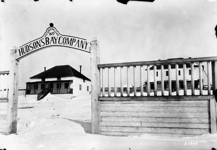
3 old views of Fort Chipewyan
Made before 1950, from 1820 to 1900: public domain or CC0. Tap one to see it full screen.
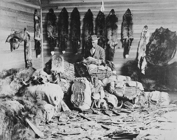 1890s
From Wikimedia Commons, copied to our own server; some are drawings, prints or maps of their time. Each credit is in the viewer.
Finding Fort Chipewyan
Fort McMurray


No other historic place stands within a short walk; the town’s others are farther afield.
Questions about Fort Chipewyan
What is Fort Chipewyan?
Fort Chipewyan is a National Historic Site of Canada, designated in 1930.
Can you visit Fort Chipewyan?
You can see it from the street, while entry depends on its current use.
When was Fort Chipewyan built?
Fort Chipewyan went up in 1788–1789, by its record.
Is Fort Chipewyan protected?
The designation recognizes its national significance; it doesn’t by itself protect a building the federal government doesn’t own. Provincial or municipal designation may.
Contains information licensed under the Open Government Licence – Canada (Parks Canada).
Sources: Parks Canada, Directory of Federal Heritage Designations · Canadian Register of Historic Places (federal extract) · Photos: Wikimedia Commons, each credited with its licence and copied to our own server · Wikidata (CC0) for map points, other names and articles.
Adapted from Statistics Canada (Census of Population 2021, population estimates 2025, 2021 census boundaries) under the Statistics Canada Open Licence; this does not constitute an endorsement by Statistics Canada. Neighbourhood names in some cities © OpenStreetMap contributors (ODbL).