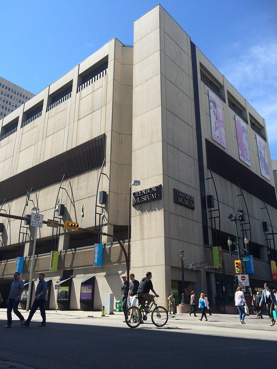
Canada's Sports Hall Of Fame and more near Scenic Acres
A day out from Scenic Acres leads to Glenbow Museum, 14 km away. Nothing is mapped inside Scenic Acres’ neighbourhood outline, but 2 places to visit are within 5 km of its edge. They include a museum and a zoo.
The first to see around Scenic Acres
The other best-known place is a zoo.
Each has a page of its own: what it is, who runs it, the weather month by month and what else is near it.
Where things are
The list reaches out to Butterfield Acres, 4.4 km away.
The dashed line is Scenic Acres’ neighbourhood outline; orange marks its middle (where most people live). Numbers match the list below. © OpenStreetMap contributors · Statistics Canada 2021 outline
What sort of places
The places here are a museum and a zoo.
Green: inside Scenic Acres. Grey: within 5 km of its edge.
Both on the list
Its 2 places all lie within 5 km of its edge.
Close and well known first. Provincial and city parks are on the Outdoors page instead.
Historic places in Scenic Acres → · Parks, footpaths and green space in Scenic Acres →
Out of town
 MuseumGlenbow Museum14 km southeast · 149K visitors a year (2019)
 AttractionCalgary Tower14 km southeast
 ZooCalgary Zoo15 km southeast
 MuseumTelus Spark Science Centre15 km southeast · 380K visitors a year
 CathedralSt. Mary's Cathedral14 km southeast
 GardenPrince's Island Park12 km southeast
 Theme parkCalaway Park11 km west
 MuseumFort Calgary15 km southeastMuseumMuseumBattalion Park12 km south
 GardenOlympic Plaza14 km southeast
 MuseumAero Space Museum of Calgary14 km southeast
 MuseumHeritage Park Historical Village17 km south
Places well known beyond Scenic Acres (Wikipedia articles in several languages, published visitor counts, or a Parks Canada property), close and famous first. Distances are straight lines from the middle of the town.
Asked about places to visit in Scenic Acres
What is there to see near Scenic Acres?
No attraction is mapped inside Scenic Acres itself.
Is there a Parks Canada property near Scenic Acres?
None is recorded within 5 km of Scenic Acres.
What are the best-known days out near Scenic Acres?
Further out, up to 40 km: Calgary Tower (14 km), Calgary Zoo (15 km), Telus Spark Science Centre (15 km), St. Mary's Cathedral (14 km).
How is this list made?
Four open sources feed it (OpenStreetMap, Wikidata, ODCAF and the federal and Québec heritage registers), merged so each place appears once. Forts, houses, lighthouses and churches stay only with a sign they are open to visitors, and businesses such as hotels, restaurants and tour operators are left out. Every place is tied to the town by its 2021 outline, or by lying within 5 km of it.
Places to visit: Canada publishes no open tourism list, so this one is assembled from OpenStreetMap (© OpenStreetMap contributors, ODbL), Wikidata (CC0), Statistics Canada’s ODCAF museums and galleries (2020, Open Government Licence – Canada), the federal and Québec heritage registers and CPCAD’s national parks, and it reflects what mappers and editors have recorded. Forts, houses, lighthouses and churches count only with a sign that visitors are welcome. Places sit in each town’s 2021 census outline; visitor counts are Wikidata’s latest, with their year.
Photos: each place’s Wikidata image, from Wikimedia Commons under the licence below (our copy, resized).
Photo credits (11)
- Glenbow Museum: Darthrussel, CC BY-SA 4.0, Wikimedia Commons
- Calgary Tower: Qyd, CC BY 2.5, Wikimedia Commons
- Calgary Zoo: Qyd, CC BY 2.5, Wikimedia Commons
- Telus Spark Science Centre: CharlesAPhillips63, CC BY-SA 4.0, Wikimedia Commons
- St. Mary's Cathedral: Dr Haggis at en.wikipedia, CC BY-SA 3.0, Wikimedia Commons
- Prince's Island Park: Scott5114, Public domain, Wikimedia Commons
- Calaway Park: Qyd, CC BY-SA 3.0, Wikimedia Commons
- Fort Calgary: Thivierr, CC BY-SA 3.0, Wikimedia Commons
- Olympic Plaza: Resolute, CC BY-SA 3.0, Wikimedia Commons
- Aero Space Museum of Calgary: Jaydec, CC BY-SA 3.0, Wikimedia Commons
- Heritage Park Historical Village: Qyd, CC BY 2.5, Wikimedia Commons
Adapted from Statistics Canada (Census of Population 2021, population estimates 2025, 2021 census boundaries) under the Statistics Canada Open Licence; this does not constitute an endorsement by Statistics Canada. Neighbourhood names in some cities © OpenStreetMap contributors (ODbL).