First pick
Cornwall Outdoor Rink
Park or garden · 140 m outside town
0.6 ha
13 km north-westfrom the centre
Directionsto a point inside
Each edition grades its towns against each other only.
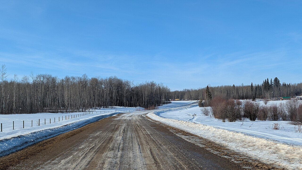 Photo: Joli Rumi · CC BY-SA 4.0
The nearest national park is Elk Island National Park, 71 km away. One unnamed beach is mapped within 5 km. Count 35 protected areas within 10 km of town.
Each figure against the 2,611 Canadian towns and neighbourhoods of 2,500+ (not city hubs or reserves), with the town marked and the typical one’s line. Canada’s grades don’t include the outdoors, so this page compares the figures rather than grading them.
CPCAD 2.9.0 (ECCC, 2026), OpenStreetMap (November 2026). Distances from the town’s outline.
The 40 Canadian towns nearest in population (7,161 to 7,391 residents), by the share of the land within 10 km that is protected. Hover for each one’s figures; click for its page.
Against towns its size, Athabasca County does best for public protected areas: 10 of the other 39 have more.
| Town | Protected within 10 km | In town | Areas | Routes | Beaches | |
|---|---|---|---|---|---|---|
| 1 | Saint-Joseph-du-Lac QC | 20% | 1.1% | 33 | 0 | 10 |
| 2 | Hope BC | 15% | 4.1% | 11 | 0 | 3 |
| 3 | Trent Lakes ON | 14% | 12% | 18 | 1 | 5 |
| 4 | Vanier South ON | 12% | 1.1% | 39 | 2 | 2 |
| 5 | Peace River AB | 8.4% | 0% | 2 | 0 | 0 |
| 6 | Saint-Jude QC | 7.1% | 0% | 21 | 0 | 5 |
| 7 | Chandler QC | 5.8% | 0.4% | 22 | 0 | 17 |
| 8 | Portage la Prairie MB | 4.7% | 7% | 18 | 0 | 2 |
| 9 | Carlisle ON | 4% | 0% | 30 | 1 | 0 |
| 10 | Coronation Park SK | 4% | 0% | 5 | 0 | 1 |
| 11 | Haysboro AB | 3.9% | 0% | 3 | 0 | 7 |
| 12 | Concord ON | 3.1% | 0% | 21 | 0 | 0 |
| 13 | Cathedral Village SK | 2.8% | 0% | 4 | 2 | 1 |
| 14 | Saint-Paul QC | 2.4% | 0% | 13 | 0 | 0 |
| 15 | Athabasca County AB | 2.4% | 3.2% | 35 | 0 | 1 |
| 16 | Twin Lakes SK | 2.3% | 0% | 4 | 0 | 0 |
| 17 | Colborne ON | 2.2% | 0.3% | 28 | 1 | 2 |
| 18 | Slave Lake AB | 2.1% | 0% | 2 | 0 | 0 |
| 19 | Currie Barracks AB | 1.9% | 0% | 3 | 0 | 0 |
| 20 | Brown's Corners ON | 1.8% | 0% | 32 | 0 | 0 |
| 21 | Whyte Ridge MB | 1.7% | 0% | 23 | 0 | 1 |
| 22 | Lymburn AB | 1.7% | 0% | 8 | 1 | 0 |
| 23 | North River Heights MB | 1.5% | 0% | 26 | 2 | 0 |
| 24 | Wainfleet ON | 1.4% | 5.7% | 16 | 0 | 8 |
| 25 | Bonnyville AB | 1.4% | 0% | 1 | 0 | 4 |
| 26 | King Edward MB | 1.3% | 0% | 20 | 0 | 0 |
| 27 | Inglewood AB | 1.3% | 0% | 1 | 1 | 1 |
| 28 | Merritt BC | 0.9% | 0% | 1 | 0 | 7 |
| 29 | Chibougamau QC | 0.8% | 0.1% | 8 | 0 | 7 |
| 30 | Erin Woods AB | 0.6% | 0% | 2 | 0 | 7 |
| 31 | Ranchlands AB | 0.6% | 0% | 1 | 0 | 2 |
| 32 | La Sarre QC | 0.5% | 0.1% | 9 | 0 | 2 |
| 33 | Sage Creek MB | 0.5% | 0% | 17 | 0 | 0 |
| 34 | Brighton SK | 0.5% | 0.1% | 10 | 1 | 2 |
| 35 | Cavanagh AB | 0.2% | 0% | 2 | 0 | 2 |
| 36 | Brentwood AB | 0.1% | 0% | 2 | 0 | 2 |
| 37 | Val-des-Sources QC | 0% | 0% | 0 | 0 | 0 |
| 38 | Niverville MB | 0% | 0% | 1 | 0 | 0 |
| 39 | Hamptons AB | 0% | 0% | 1 | 0 | 0 |
| 40 | Kincora AB | 0% | 0% | 0 | 0 | 0 |
The town’s parks, woods, protected land and paths, with its named places numbered.
The biggest is Cornwall Outdoor Rink, 0.6 ha. Biggest first, numbered as on the map.
Source: OpenStreetMap parks, gardens, commons and woods with a name, in the town or within 400 m, © OpenStreetMap contributors, ODbL. Sizes are the mapped outline’s.
Residents of each 2021 dissemination area, at a point inside it, within 400 m (about a 5-minute walk) of a park or playing field mapped on OpenStreetMap.
A median Canadian town manages 83%. For about 7,300 people, the nearest park is over 400 m away.
Every protected and conserved area in CPCAD within 10 km of the town’s edge: parks, reserves, wildlife areas and conservation land.
Public ownership covers 9 of the 35. La Biche River Wildland Provincial Park covers 17,331 ha, the most of any named area. Another 26 are privately owned conservation land; they count in the figures but aren’t named, as private land isn’t a place to visit.
Source: Canadian Protected and Conserved Areas Database (CPCAD) 2.9.0, Environment and Climate Change Canada. Contains information licensed under the Open Government Licence – Canada.
National parks (Parks Canada) and provincial or territorial parks by direction and distance from the town’s edge: every one within 10 km, and the nearest of each within 100 km.
There are 3 provincial parks within 10 km.
Source: CPCAD 2.9.0 (ECCC): areas and outlines, distances outline to outline; directions from the town’s centre point.
OpenStreetMap footpaths, paths, bridleways and steps, and tracks open on foot, in the town and 1 km around it; woods as mapped (landuse=forest, natural=wood).
Paths are thinner on the ground than in 99% of Canadian towns.
Source: OpenStreetMap, © OpenStreetMap contributors, ODbL. Mapping varies by place: a dense figure can mean keen local mappers as much as many paths.
Named walking and hiking routes on OpenStreetMap with at least 300 m within 2 km of the town, longest first; national routes lead.
OpenStreetMap has no named walking route within 2 km of the town. Trails may exist without being mapped as routes.
Source: OpenStreetMap (route relations hiking, foot and walking), © OpenStreetMap contributors, ODbL. Trans Canada Trail sections as OSM maps them.
Daylight at the town’s latitude and ECCC’s 1991–2020 normals (Fort Saskatchewan, 103 km away). Good months: long days, highs of 15–30 °C, light rain.
| Jan | Feb | Mar | Apr | May | Jun | Jul | Aug | Sep | Oct | Nov | Dec | |
|---|---|---|---|---|---|---|---|---|---|---|---|---|
| Daylight (h) | 7.8 | 9.6 | 11.7 | 14.0 | 16.1 | 17.3 | 16.7 | 14.9 | 12.6 | 10.4 | 8.3 | 7.3 |
| High (°C) | -9 | -5 | 0 | 9 | 17 | 21 | 23 | 22 | 16 | 8 | -1 | -7 |
| Rain & snow (mm) | 30 | 14 | 22 | 27 | 49 | 78 | 82 | 56 | 39 | 23 | 29 | 23 |
In July the typical high is 23 °C; in January, -9 °C. Expect 82 mm in July, warm and wet, and 14 mm in February. The climate in Athabasca County →
Beaches on OpenStreetMap within 5 km of the town’s edge, nearest first, with directions.
No open data on beach water quality covers every province, so check with public health before a swim.
Source: OpenStreetMap (natural=beach), © OpenStreetMap contributors, ODbL.
Viewpoints, peaks, waterfalls, picnic sites, nature reserves, playgrounds, dog parks, campsites and boat launches mapped within 2 km of the town.
There are 12 campsites, more than of anything else.
Plus 2 viewpoints without a name on the map.
Plus 1 picnic site without a name on the map.
Plus 12 playgrounds without a name on the map.
Plus 4 campsites without a name on the map.
Plus 4 slipways without a name on the map.
Source: OpenStreetMap (tourism, natural, waterway and leisure tags), © OpenStreetMap contributors, ODbL.
The nearest places, coloured by the share of the land within 10 km that is protected; tap one for its outdoors page. Athabasca County has few close neighbours with figures, so the list reaches 14–73 km out.
| Town | Protected within 10 km | Areas | Routes | Beaches |
|---|---|---|---|---|
| Athabasca County | 2.4% | 35 | 0 | 1 |
| Athabasca 14 km | 0.4% | 1 | 0 | 0 |
| Thorhild County 54 km | 1.2% | 19 | 0 | 0 |
| Smoky Lake 71 km | 0.5% | 2 | 0 | 0 |
| Lac la Biche County 72 km | 5.8% | 16 | 0 | 4 |
| Westlock County 73 km | 2.6% | 35 | 0 | 0 |
For protected land, Lac la Biche County has twice as much or more.
La Biche River Wildland Provincial Park touches the town.
La Biche River Wildland Provincial Park: 17,331 ha, a provincial park.
May, August and September, on the 1991–2020 normals and the daylight: long days, highs of 15 °C or more, light rain for the place.
Elk Island National Park, 71 km from the edge of town.
There is an unnamed beach within 5 km.
Protected areas cover 2.4% of the land within 10 km.
Protected areas: Canadian Protected and Conserved Areas Database (CPCAD) 2.9.0, Environment and Climate Change Canada, 2026: every area within 10 km and the nearest national and provincial parks, measured outline to outline.
Walking routes and beaches: OpenStreetMap, November 2026: named hiking, foot and walking route relations within 2 km and beaches within 5 km.
Towns: Statistics Canada 2021 Census boundaries and populations; the comparison is the Canadian towns and neighbourhoods of 2,500+, not city hubs or reserves.
When to go: Environment and Climate Change Canada, Canadian Climate Normals 1991–2020, from the nearest station that publishes them.
Green space, paths, woods, things to do: OpenStreetMap (Geofabrik’s Canada extract), November 2026: parks, gardens, playing fields, woods, footpaths, the coastline and things to do in and around each town.
Residents: Statistics Canada 2021 Census dissemination areas (population, boundaries), each at a point inside it.
Walking routes and beaches © OpenStreetMap contributors, available under the Open Database Licence (ODbL).
Not on this page: trailheads and trail grades, and beach water quality. No open Canadian dataset gives these for every town yet.
Adapted from Statistics Canada (Census of Population 2021, population estimates 2025, 2021 census boundaries) under the Statistics Canada Open Licence; this does not constitute an endorsement by Statistics Canada. Neighbourhood names in some cities © OpenStreetMap contributors (ODbL).