
Statue of a pizzaiolo, 2008
Wrightwood’s story
98 years in pictures
Census counts: 2,511 in 1980, 4,720 in 2020. The archive holds 11 old photos and papers going back to 2008 and 6 maps from 1903 on.
- 1928Wrightwood is settled
Each edition grades its towns against each other only.
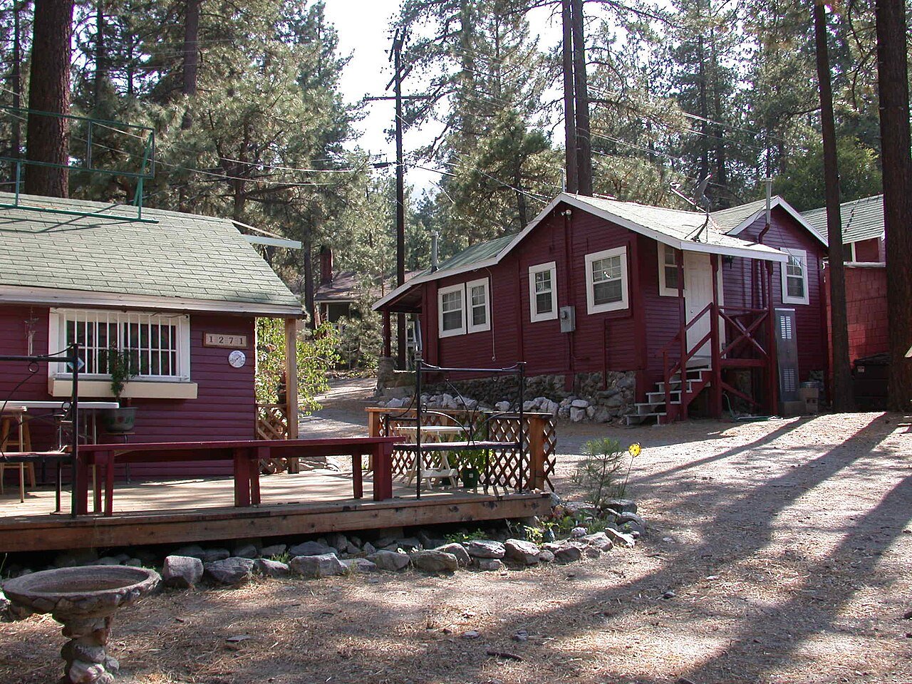
A town of 5,067, settled in 1928.
FEMA rates its natural-hazard risk higher than 100% of U.S. communities, with inland flooding at the top. Overall it grades C−, 459th of 841 graded towns in California. CDC estimates put its residents' health ahead of 81% of the country. Its weakest subject is cost of living: homes are expensive, about $424K for a typical one and 4.7 times the Riverside metro’s $90K median household income. 36% of the land in Wrightwood is conserved, where California’s towns sit at 4.2% and U.S. towns at 4.3%. Angeles National Forest, at 3,468 acres with 14.7 miles of trail, is the biggest park or preserve.
Where Wrightwood beats most towns, and one thing worth knowing.
36.2% of the town is conserved land, across 5 parks and preserves.
Each subject compared with towns across the country (schools within California), ordered by how far Wrightwood is from typical.
How TownRatings grades towns →
Census counts: 2,511 in 1980, 4,720 in 2020. The archive holds 11 old photos and papers going back to 2008 and 6 maps from 1903 on.
Museums, parks, gardens and other places to visit around Wrightwood. Close and well known come first.
 Big draw40 mi Stadium & arenaDodger Stadium
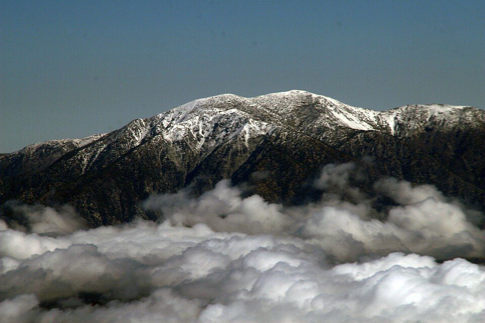 4 mi MountainMount San Antonio
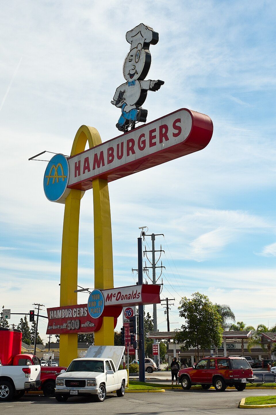 Big draw39 mi MuseumOldest McDonald's restaurant
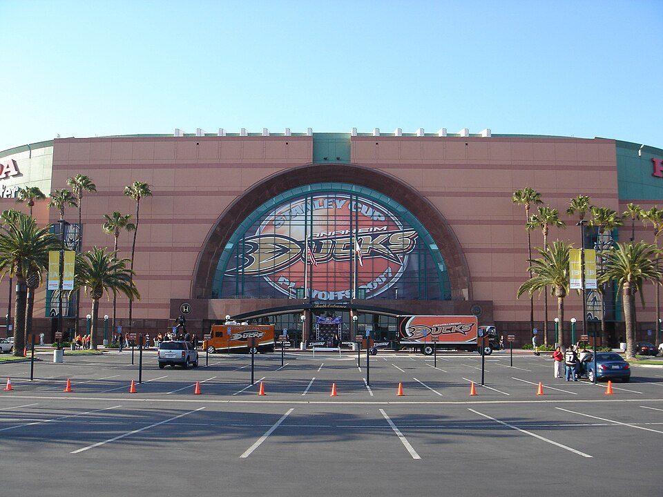 40 mi Stadium & arenaHonda Center
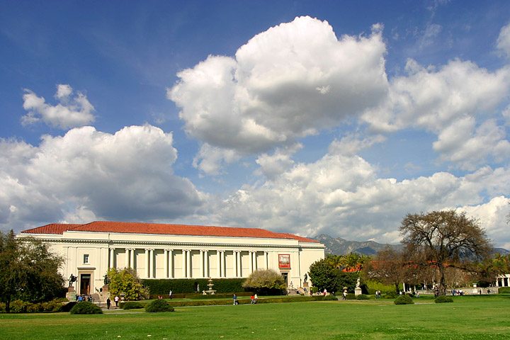 31 mi MuseumThe Huntington Library, Art Museum, and Botanical Gardens
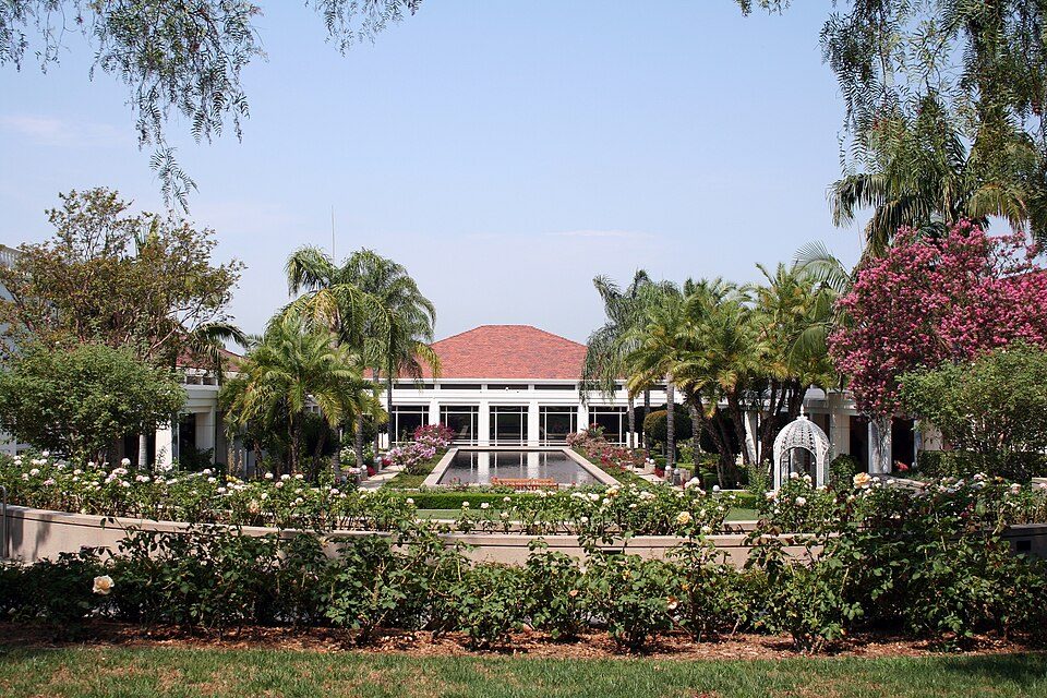 33 mi MuseumRichard Nixon Presidential Library and Museum
Dodger Stadium: Frederick Dennstedt from los angeles, usa, CC BY-SA 2.0 · Mount San Antonio: The original uploader was Tillman at English Wikipedia., CC BY-SA 2.0 · Oldest McDonald's restaurant: Northwalker, CC0 · Honda Center: Arnold C (Buchanan-Hermit), Attribution · The Huntington Library, Art Museum, and Botanical Gardens: By Aaron Logan, CC BY 1.0 · Richard Nixon Presidential Library and Museum: The original uploader was Sorcha at English Wikipedia., CC BY-SA 2.5
Wrightwood is unincorporated, so San Bernardino County and regional agencies provide most services.
EPA SDWIS (Oct 9, 2026) · HIFLD + EIA-861 2025 · Census 2020 ZCTAs · NCES 2024–25 · registration: vote.gov, updated Nov 18, 2024.
Ordered by what stands out in Wrightwood.
Wrightwood is a second-home town, keeps more of its land conserved than most of California and has cooler summers than nearly all U.S. towns.
Its 1,372 conserved acres are a larger share of the town than in 95% of California towns.
19 miles of trail in 5 parks and preserves. At 3.3 miles per square mile, Wrightwood’s trail density is against 1.0 in California’s towns and 0.4 across U.S. towns.
| Biggest places to walk | Trails | Acres |
|---|---|---|
| 1. Angeles National Forest | 14.7 mi | 3,468 |
| 2. San Gabriel Mountains National Monument | 4.3 mi | 103 |
| 3. San Bernardino National Forest | 0.4 mi | 326 |
Trails & parks © OpenStreetMap contributors · Conserved land: USGS PAD-US
Its public schools are run by the Snowline Joint Unified school district. Its one school is below.
| School | Level | Students | Letter |
|---|---|---|---|
| Wrightwood ElementaryLargest public elementary schoolGrades K–5 | Grades K–5 | 336 | – |
NCES · EDFacts · graded within CA on state tests and graduation
Wrightwood’s FEMA risk score is 100 of 100. Since 2001, 16 flood insurance claims have been paid out in Wrightwood.
FEMA flood insurance claims · FEMA National Risk Index · OpenFEMA
78.4% of renter households pay 30% or more of their income for housing, against 55.3% across California.
The median rent in Wrightwood is $1,833 a month. The typical Wrightwood home is worth about $424,000, down 1.3% in a year, 44% below the California typical home. 76% of households own their home in Wrightwood.
| Wrightwood | California towns | U.S. towns | |
|---|---|---|---|
| Median rent | $1,833 a month | $1,898 a month | $1,185 a month |
| Households that own their home | 76% | 64% | 73% |
Census ACS, 2020–24 · Zillow Home Value Index · Redfin Data Center
18% of Wrightwood adults get no exercise outside work. Wrightwood beats the California average on 12 of 32 CDC measures and trails it on 3. 74% of Wrightwood adults had a checkup this year.
| Wrightwood | California towns | U.S. towns | |
|---|---|---|---|
| Get no exercise (CDC PLACES) | 18% | 24% | 25% |
| Yearly checkup (CDC PLACES) | 74% | 72% | 79% |
| Sleep under 7 hours (CDC PLACES) | 33% | 35% | 36% |
| Food insecurity (CDC PLACES) | 10% | 16% | 14% |
| What stands out | Wrightwood | CA |
|---|---|---|
| Fewer uninsured adults | 5.7% | 10.6% |
| Fewer adults facing food insecurity | 10.3% | 17.9% |
| More adults who have had cancer | 9.6% | 6.4% |
CDC PLACES 2025 · modeled estimates for adults · CMS · HRSA
The average commute for its 1,180 working residents takes 36.6 minutes, against 28.7 across California.
Most working residents leave Wrightwood for work: only 8% work in town. The top destinations are Los Angeles (6%), San Bernardino (6%) and Phelan (4%). Half commute less than 30 miles.
| Wrightwood | California towns | U.S. towns | |
|---|---|---|---|
| Average trip to work | 37 minutes | 28 minutes | 25 minutes |
| Median household income | $74,000 | $95,000 | $80,000 |
Census LEHD 2023 · ACS
July afternoons average 77.2°, cooler than in 97% of U.S. towns; January nights average 29.1°.
Wrightwood has mild winters and pleasant summers. Snow is almost unheard of.
| Wrightwood | California towns | U.S. towns | |
|---|---|---|---|
| July high | 77°F | 89°F | 85°F |
| January low | 29°F | 41°F | 22°F |
NOAA U.S. Climate Normals, 1991–2020
1 within 15 miles of the center of Wrightwood
About 4 of every 100 Wrightwood residents are enrolled in college, against 8 across California.
Where Wrightwood’s working residents go each day. Line width shows the share.
Census LEHD 2023
Unincorporated community in California, United States
Wrightwood is a census-designated place in San Bernardino County, California. It sits at an elevation of 6,208 feet (1,892 m). The population was 4,720 at the 2020 census, up from 4,525 at the 2010 census. Wrightwood is located 77 miles (124 km) northeast of Los Angeles. It is on the Pacific Crest Trail.
From Wikipedia, licensed CC BY-SA 4.0 · facts via Wikidata (CC0)
Short answers, built from the data on this page.
Wrightwood grades C− overall, better than 24% of U.S. towns and #459 of 841 in California. It grades A− for health and C+ for schools. Hazard risk is its weak spot, with a D−.
Yes. Cost of living, which also weighs rents, property taxes and how many households pay 30% or more of their income for housing, grades D.


