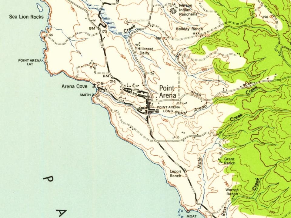
Point Arena was first counted by the census in 1880, and 12 of its places are on the National Register
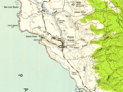
Most of Point Arena was built recently: 4% of its homes predate 1940 and the median home dates from 1976. 12 places in town are on the National Register, among them two historic districts with 31 buildings between them. Below: 11 old photos and papers, maps from 1891 on, and the census since 1880.
Peaked at 709 in 1890; 460 people lived here in 2020.
14 censuses, 1880–2020.
U.S. Census Bureau decennial counts, from the census table on Point Arena’s Wikipedia page.
Every building
Point Arena, building by building, 1891–1923
Fire insurance maps drew every building, what it was made of and what it was used for, so insurers could price the risk of fire. Pick a year, then a sheet.
The first European to record Point Arena was Spaniard Bartolomé Ferrer in 1543, who named it Cabo de Fortunas ("cape of fortunes"). The cape was renamed to Punta Delgado (narrow point) in 1775 by lieutenant Juan Francisco de la Bodega y Quadra (commander of the schooner Sonora), part of a royal expedition chartered by the government of Mexico to map the north coast of Alta California. Later the point, and the small harbor town south of it, were called Barra de Arena (i.e. sandbar) and finally Punta Arena (literally "sand point").
The Punta Arena post office opened in 1858, and was renamed Point Arena in 1889. The first store at Point Arena opened in 1859. Point Arena incorporated in 1908.
Passages that mention Point Arena, cut from the printed page as they were published.
History of Mendocino County, California1880 · page 539Read the page →
Read the text
Arena, Mendocino county, where he opened the first store in that place, which business he continued to conduct till 1870. He remained in Point Arena till 1873, when he moved to his present ranch in Big River township, ten miles north of Point Arena, where he has since been engaged in farming and building the Mendocino railroad, of which he was superintendent till May, 1880, when he resigned. Mr. Hall is not a profes.sional politician, but few men have taken a deeper interest in matters pertaining to the welfare of the county than he has. He is a genial gentleman, a man of intellect and
Text read by machine from the scan; it may contain errors.
History of Mendocino County, California1880 · page 524Read the page →
Read the text
to San Francisco, and there remained till 1858, when they came to Mendocino county. Young Lewis was educated in the common schools of San Francisco, and in 1863 he entered the Sotoyome Academy at Healdsburg, remaining for two years. He then returned to Point Arena and began farming, which he followed till 1878. Since then he has resided in the town of Point Arena farming and loaning money. August 21, 1869, he married Miss C. W. Pease, a native of Bridgewater, Massachusetts, born August 25, 1840. They have one child, Julius G , born May 30, 1870.
Text read by machine from the scan; it may contain errors.
Scans and text from the Internet Archive. Books published in 1930 or earlier, which are in the public domain.
Timeline
Point Arena, 1858 to 1943
Woven from the archive, old maps, post office records, the National Register and the people born here.
Nothing in the archives for these yearsWeddings on Main Street, storms, parades, school pictures, the old store. If it’s in your family album, it belongs here.
The Point Arena post office opened in 1880, the earliest record of the town by name (U.S. post office records). Wikidata gives 1908.
What is on the National Register in Point Arena?
12 listings: 10 buildings, among them the Annie Palmer House (listed 1990, the first), and 2 historic districts, the Arena Cove Historic District and the Main Street Historic Commercial District, with 31 contributing buildings. 41 historic buildings in all.
Founding dates: Wikidata, Wikipedia, the U.S. post office records of Blevins & Helbock (CC0) and the Census. Homes by year built: Census ACS 2020–24. National Register of Historic Places: National Park Service (list of May 22, 2026). Old photos, postcards and papers: Wikimedia Commons, the Library of Congress and other public archives, credited on each item’s page. Maps: U.S. Geological Survey historical topographic maps (via Esri) and Sanborn fire-insurance maps (Library of Congress). History text and census tables: Wikipedia (CC BY-SA 4.0). Places that used to be: USGS Geographic Names Information System (2021). How TownRatings grades history →
From Wikimedia Commons (15), Wikidata (2), the National Register of Historic Places (12), Wikipedia, U.S. Geological Survey historical maps, U.S. Census counts (via Wikipedia), the US Post Offices dataset (Blevins & Helbock), the USGS Geographic Names Information System, Sanborn fire insurance maps (Library of Congress) and old county and town histories (Internet Archive). Archive images are copied here with their credits and licenses, shown on each photo’s page. Refreshed monthly.


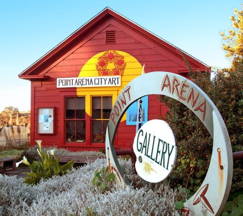


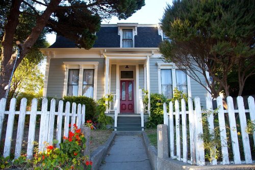


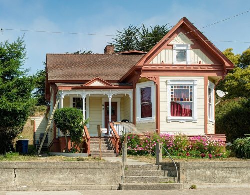


 c. 1870
 c. 1870
 c. 1875
 1886
 1886
 1886
 1886
 1906
 2023
 2023
 2018
 2009