
Little River and Country Road, looking North, Mendocino County, 1905
Little River’s story
161 years in pictures
The archive holds 8 old photos and papers going back to 1905 and 3 maps from 1943 on.
- 1865Little River is settled
Each edition grades its towns against each other only.

Little River’s July high is 66°F, against 89°F in California’s towns and 85°F across U.S. towns. 30% of the land in Little River is conserved, above both California’s towns (4.3%) and U.S. towns (4.3%). Van Damme State Park, at 299 acres with 3 miles of trail, is the biggest park or preserve. Little River has fewer than 1,000 residents, too few for fair grades; the figures below are still real.
Where Little River beats most towns.
In a town this size, neighbors are the best guide. Ask them anything.
The archive holds 8 old photos and papers going back to 1905 and 3 maps from 1943 on.
Little River is unincorporated, so Mendocino County and regional agencies provide most services.
EPA SDWIS (Oct 9, 2026) · HIFLD + EIA-861 2025 · Census 2020 ZCTAs · NCES 2024–25 · registration: vote.gov, updated Nov 18, 2024.
Ordered by what stands out in Little River.
5.3 miles of trail in 1 park or preserve. The trail density in Little River is 3.1 miles per square mile.
| Biggest places to walk | Trails | Acres |
|---|---|---|
| 1. Van Damme State Park | 3 mi | 299 |
Trails & parks © OpenStreetMap contributors · Conserved land: USGS PAD-US
Expected storm and flood damage is higher than in 81% of U.S. communities.
FEMA National Risk Index · OpenFEMA
Little River has warm winters and cool summers. Little River’s January low is 42°F.
NOAA U.S. Climate Normals, 1991–2020
11% of Little River adults binge drink. Little River beats the California average on 15 of 32 CDC measures and trails it on 8. 28% of Little River adults sleep under 7 hours.
| Little River | California towns | U.S. towns | |
|---|---|---|---|
| Binge drink (CDC PLACES) | 11% | 16% | 16% |
| High blood pressure (CDC PLACES) | 46% | 31% | 35% |
| Yearly checkup (CDC PLACES) | 83% | 72% | 79% |
| Frequent mental distress (CDC PLACES) | 12% | 17% | 17% |
| What stands out | Little River | CA |
|---|---|---|
| Fewer uninsured adults | 4.1% | 10.6% |
| Fewer adults facing housing insecurity | 6% | 14.9% |
| More adults who have had cancer | 16.3% | 6.4% |
CDC PLACES 2025 · modeled estimates for adults · CMS · HRSA
Museums, parks, gardens and other places to visit around Little River. Close and well known come first.
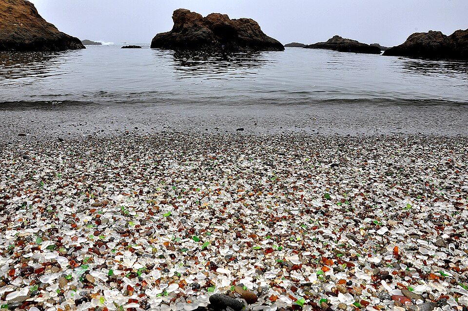 13 mi BeachGlass Beach
 22 mi LighthousePoint Arena Light
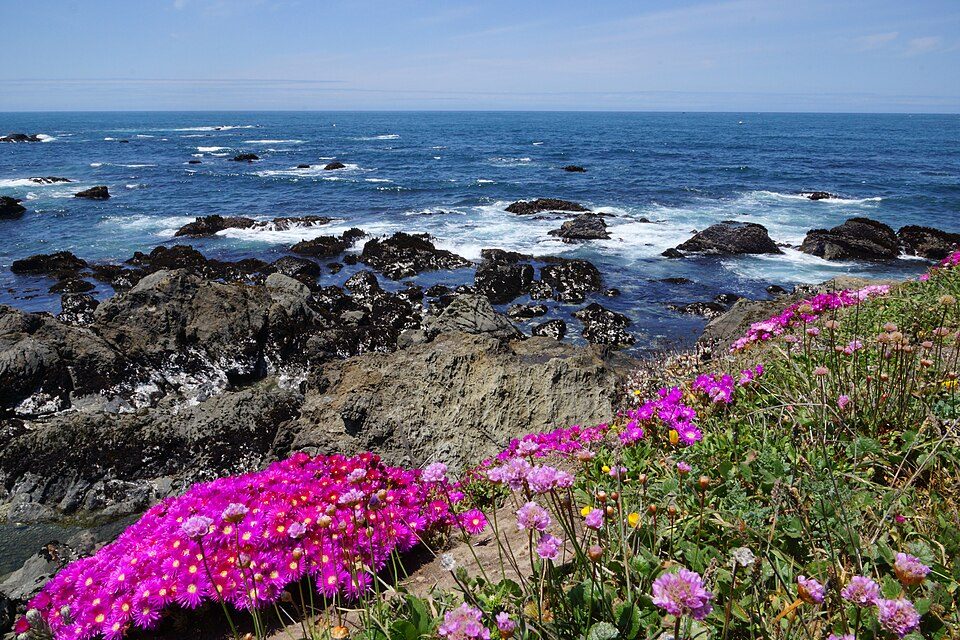 10 mi GardenMendocino Coast Botanical Gardens
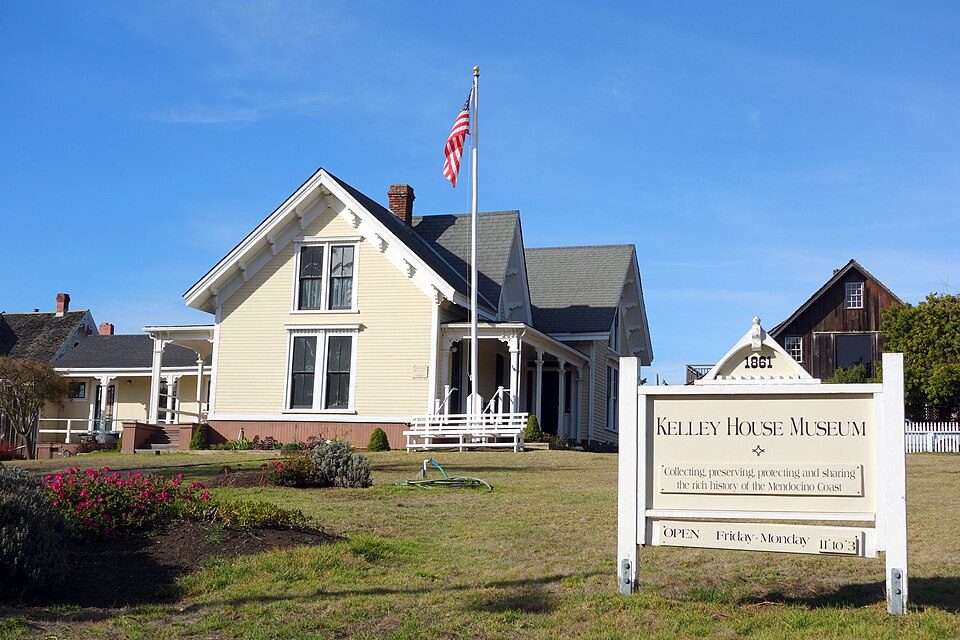 3 mi MuseumKelley House Museum
 32 mi MuseumGrace Hudson Museum
Glass Beach: Ggerdel - Foto de: Gustavo Gerdel, CC BY-SA 4.0 · Point Arena Light: Dennis G. Jarvis, CC BY-SA 2.0 · Mendocino Coast Botanical Gardens: Allie Caulfield, CC BY 2.0 · Kelley House Museum: Daderot, CC0 · Grace Hudson Museum: User:Binksternet, Public domain
None within 15 miles of Little River; the nearest are
About 12 of every 100 Little River residents are enrolled in college, against 8 across California.
Census-designated place in California, United States
Little River (formerly known as Littleriver, Bell's Harbor, and Kent's Landing) is a small census-designated place in Mendocino County, California, United States. It lies at an elevation of 66 feet (20 m), 3 miles (5 km) south of the town of Mendocino and running along the Pacific Ocean coast on State Route 1. The town takes its name from the nearby Little River. The town center sits on a scenic bluff overlooking the mouth of the Little River and hosts a grocery store, two gas pumps, a post office, and a restaurant within a single structure. The population was 94 at the 2020 census, down from 117 at the 2010 census.
From Wikipedia, licensed CC BY-SA 4.0 · facts via Wikidata (CC0)
Short answers, built from the data on this page.
Little River has fewer than 1,000 residents, too few for fair grades; the figures below are still real.


