Larkfield-Wikiup in pictures
Census counts: 6,779 in 1990, 8,492 in 2020. The archive holds 1 old photo or paper going back to 2004 and 2 maps from 1940 on.
Explore the history →Each edition grades its towns against each other only.
A town of 8,765.
Larkfield-Wikiup's standout: it has 10 miles of trail. Overall it grades C, ranked 353rd of 841 in California. Its weakest subject is hazard risk: FEMA rates its natural-hazard risk higher than 93% of U.S. communities, with earthquakes at the top. 23% of the land in Larkfield-Wikiup is conserved, above both California’s towns (4.2%) and U.S. towns (4.3%). Homes are expensive, about $705K for a typical one and 6.7 times the Santa Rosa metro’s $105K median household income. The biggest place to walk is Shiloh Ranch Regional Park, 590 acres with 8.6 miles of trail.
Where Larkfield-Wikiup beats most towns, and one thing worth knowing.
23.3% of the town is conserved land, across 4 parks and preserves.
Each subject compared with towns across the country (schools within California), ordered by how far Larkfield-Wikiup is from typical.
How TownRatings grades towns →
Census counts: 6,779 in 1990, 8,492 in 2020. The archive holds 1 old photo or paper going back to 2004 and 2 maps from 1940 on.
Explore the history →Museums, parks, gardens and other places to visit around Larkfield-Wikiup. Close and well known come first.
27 mi Ancient siteFort Ross
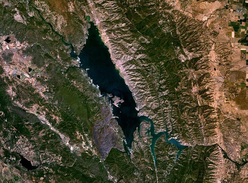
28 mi LakeLake Berryessa
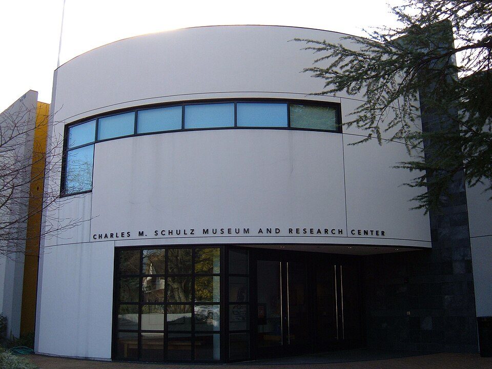
4 mi MuseumCharles M. Schulz Museum and Research Center
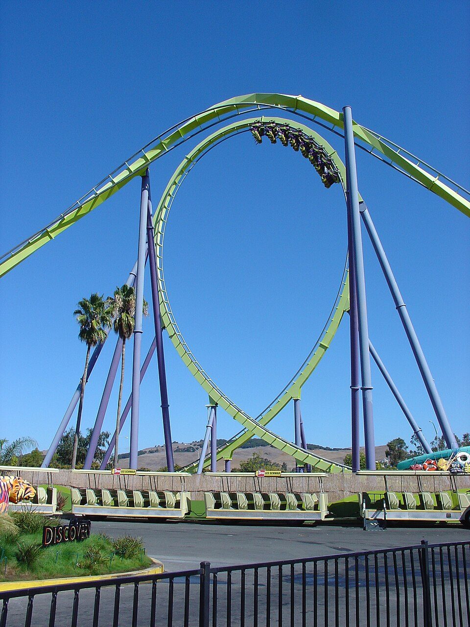
38 mi Theme parkSix Flags Discovery Kingdom
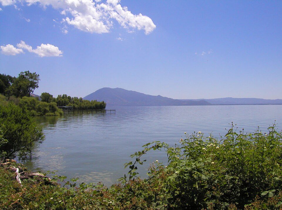
38 mi LakeClear Lake
23 mi National SeashorePoint Reyes National Seashore2.4M visitors a yearFort Ross: Frank Schulenburg, CC BY-SA 4.0 · Lake Berryessa: Unknown, Public domain · Charles M. Schulz Museum and Research Center: BrokenSphere, CC BY-SA 3.0 · Six Flags Discovery Kingdom: Tinned Elk, CC BY-SA 3.0 · Clear Lake: Unknown, Public domain · Point Reyes National Seashore: King of Hearts, CC BY-SA 4.0
Larkfield-Wikiup is unincorporated, so Sonoma County and regional agencies provide most services.
EPA SDWIS (Oct 9, 2026) · HIFLD + EIA-861 2025 · Census 2020 ZCTAs · NCES 2024–25 · registration: vote.gov, updated Nov 18, 2024.
Ordered by what stands out in Larkfield-Wikiup.
At 1.9 miles per square mile, Larkfield-Wikiup’s trail density is above both the California town median (1.0) and the median of U.S. towns (0.4).
| Biggest places to walk | Trails | Acres |
|---|---|---|
| 1. Shiloh Ranch Regional Park | 8.6 mi | 590 |
| 2. Maddux Ranch Regional Park | 0.3 mi | 10 |
| 3. Tom Schopflin Fields | 0.1 mi | 21 |
Trails & parks © OpenStreetMap contributors · Conserved land: USGS PAD-US
Its public schools are run by the Mark West Union Elementary school district. Three of its 8 schools are below, each with why it’s listed.
| School | Level | Students | Letter |
|---|---|---|---|
| Mark West ElementaryLargest public elementary schoolGrades K–6 | Grades K–6 | 425 | B− |
| Cardinal Newman High School PrivateLargest high schoolGrades 9–12 | Grades 9–12 | 550 | – |
| Mark West CharterTop results in townGrades K–8 | Grades K–8 | 124 | A− |
NCES · EDFacts · graded within CA on state tests and graduation
Since 1995, 3 flood insurance claims have been paid out in Larkfield-Wikiup.
FEMA flood insurance claims · FEMA National Risk Index · OpenFEMA
Larkfield-Wikiup beats the California average on 9 of 32 CDC measures and trails it on 5. 27% of Larkfield-Wikiup adults have obesity.
| Larkfield-Wikiup | California towns | U.S. towns | |
|---|---|---|---|
| Obesity (CDC PLACES) | 27% | 29% | 35% |
| Feel lonely (CDC PLACES) | 32% | 36% | 33% |
| Yearly checkup (CDC PLACES) | 73% | 72% | 79% |
| Depression (CDC PLACES) | 24% | 22% | 23% |
| What stands out | Larkfield-Wikiup | CA |
|---|---|---|
| Fewer adults facing food insecurity | 13.4% | 17.9% |
| Fewer uninsured adults | 8.1% | 10.6% |
| More adults who have had cancer | 8.9% | 6.4% |
CDC PLACES 2025 · modeled estimates for adults · CMS · HRSA
Adults 18 to 34 are 14% of residents (24% statewide); children under 18 are 29% of residents (22% statewide). 22% of residents are 65 or older in Larkfield-Wikiup. 35% of adults 25 and older have a bachelor’s degree or more, vs 37% across California.
| Larkfield-Wikiup | California towns | U.S. towns | |
|---|---|---|---|
| Under 18 | 29% | 22% | 22% |
| Aged 65 or older | 22% | 16% | 18% |
| Bachelor’s degree or more, 25+ | 35% | 29% | 29% |
45% women, 55% men
That’s an even split within the survey’s margin of ±8 points. Across California, 50.1% of residents are women.
| Larkfield-Wikiup | CA | U.S. | |
|---|---|---|---|
| Under 10 | 15.5% | 11.4% | 11.6% |
| 10 to 17 | 13% | 10.5% | 10.3% |
| 18 to 24 | 2.4% | 9.1% | 9.1% |
| 25 to 34 | 11.9% | 14.8% | 13.7% |
| 35 to 44 | 17.5% | 13.9% | 13.2% |
| 45 to 54 | 5.7% | 12.5% | 12.2% |
| 55 to 64 | 11.7% | 12.1% | 12.7% |
| 65 to 74 | 12.9% | 9.2% | 10.2% |
| 75 and older | 9.4% | 6.5% | 7% |
| No diploma | 6.3% | 15.3% | 10.4% |
| High school | 23.8% | 20.5% | 26% |
| Some college | 25.4% | 19.3% | 19.1% |
| Associate’s | 9.6% | 7.9% | 8.8% |
| Bachelor’s | 21.8% | 22.7% | 21.6% |
| Graduate | 13% | 14.4% | 14.1% |
U.S. Census Bureau · ACS 2020-2024 5-year estimates
Larkfield-Wikiup has mild winters and warm summers. The July high in Larkfield-Wikiup is 84°F.
NOAA U.S. Climate Normals, 1991–2020
Larkfield-Wikiup has about as many jobs (3,000) as working residents, but only 123 people both live and work here. The average commute takes 20.3 minutes, against 28.7 across California.
Most working residents leave Larkfield-Wikiup for work: only 4% work in town. Larkfield-Wikiup’s average trip to work is 20 minutes. Jobs based in Larkfield-Wikiup grew to 3,000 in 2023, 1,480 more than in 2013.
| Larkfield-Wikiup | California towns | U.S. towns | |
|---|---|---|---|
| Average trip to work | 20 minutes | 28 minutes | 25 minutes |
| Below the poverty line | 6.5% | 10% | 9.6% |
| Working residents who work in town | 3.6% | 6.6% | 8% |
| Median household income | $97,000 | $95,000 | $80,000 |
Census LEHD 2023 · ACS
Zillow Home Value Index · Redfin Data Center
2 within 15 miles of the center of Larkfield-Wikiup
About 5 of every 100 Larkfield-Wikiup residents are enrolled in college, against 8 across California.
Census-designated place in California, United States
Larkfield-Wikiup is a census-designated place, unincorporated area in Sonoma County, California, United States. The population was 8,492 at the 2020 census, down from 8,884 at the 2010 census. It comprises the Mark West area between Santa Rosa (to the south), Windsor (north), Calistoga (east), and Fulton (west). There are at least four schools within the limits of the CDP, including Cardinal Newman High School, John B. Riebli Elementary School, Mark West Elementary, and San Miguel Elementary schools.
From Wikipedia, licensed CC BY-SA 4.0 · facts via Wikidata (CC0)
2 towns share a border with Larkfield-Wikiup.
| Town | CA rank | Overall | Cost | Safety | Schools | Health |
|---|---|---|---|---|---|---|
| Larkfield-Wikiup | #353 | C | D− | — | B− | B+ |
| Windsor | #175 | B− | D− | B | B | A− |
| Santa Rosa | #447 | C | D− | C | B− | B+ |
Larkfield-Wikiup reports no FBI crime data of its own. Compare Larkfield-Wikiup with a neighbor →
Short answers, built from the data on this page.
Larkfield-Wikiup grades C overall, better than 32% of U.S. towns and #353 of 841 in California. It grades B+ for health and B− for schools. Hazard risk is its weak spot, with a D−.
Yes. The typical home is worth about $705,000, 7% below the California typical home. Cost of living, which also weighs rents, property taxes and how many households pay 30% or more of their income for housing, grades D−.