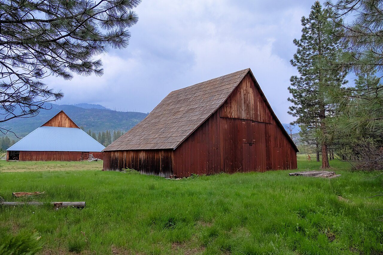
McCauley and Meyer Barns · National Register of Historic Places
Foresta’s story
Foresta in pictures
1 place on the National Register of Historic Places.
Explore the history →Each edition grades its towns against each other only.

A town of 34.
98% of the land in Foresta is conserved, above both California’s towns (4.3%) and U.S. towns (4.3%). McCauley and Meyer Barns and Great Sierra Wagon Road is on the National Register of Historic Places. Foresta has fewer than 1,000 residents, too few for fair grades; the figures below are still real.
In a town this size, neighbors are the best guide. Ask them anything.
1 place on the National Register of Historic Places.
Explore the history →Museums, parks, gardens and other places to visit around Foresta. Close and well known come first.
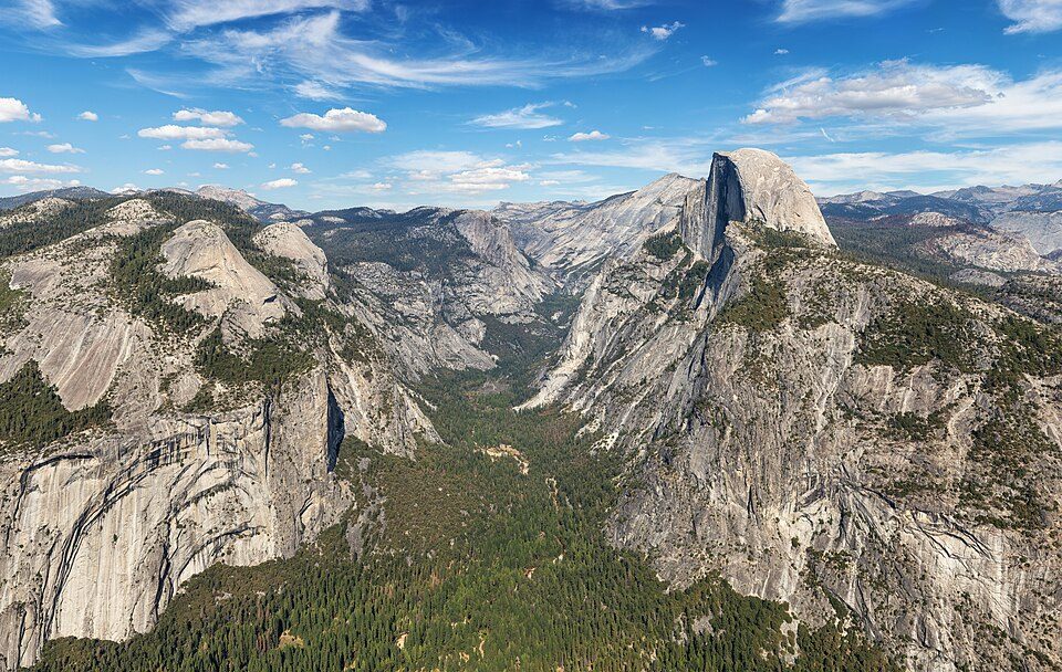 Big drawin town National ParkYosemite National Park4.3M visitors a year
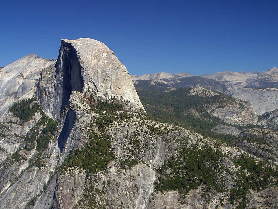 Big draw12 mi MountainHalf Dome
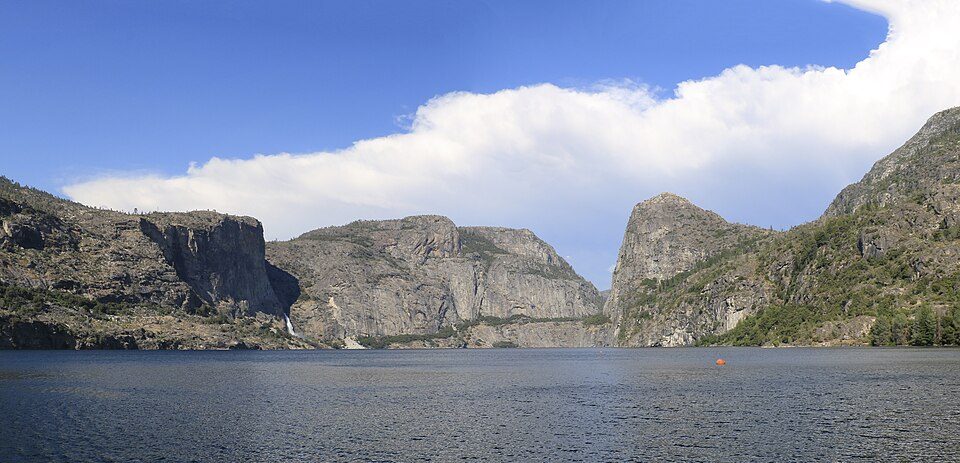 17 mi LakeHetch Hetchy
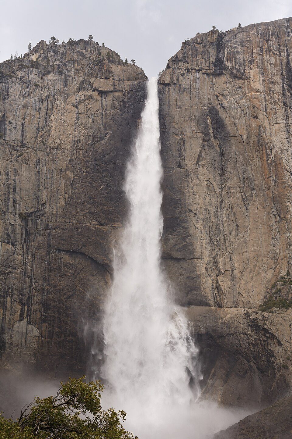 9 mi WaterfallYosemite Falls
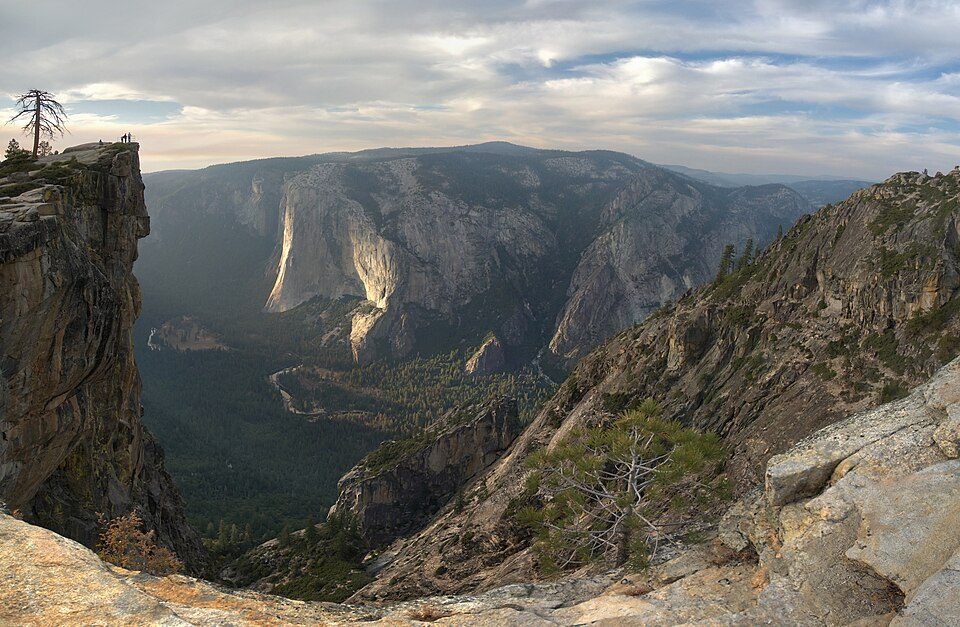 8 mi AttractionTaft Point
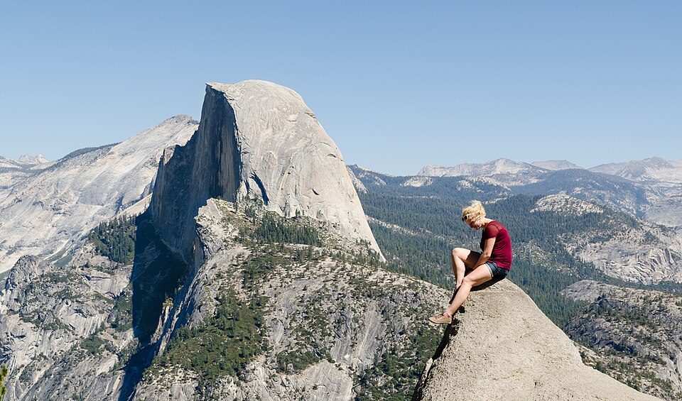 10 mi AttractionGlacier Point
Yosemite National Park: Thomas Wolf, www.foto-tw.de, CC BY-SA 3.0 · Half Dome: Jon Sullivan, Public domain · Hetch Hetchy: Vulpinus2, CC BY-SA 4.0 · Yosemite Falls: King of Hearts, CC BY-SA 4.0 · Taft Point: Dave from San Jose, CA, USA, CC BY 2.0 · Glacier Point: Tuxyso, CC BY-SA 3.0
Who provides power, water and the rest in Foresta, and how to reach them.
EPA SDWIS (Oct 9, 2026) · HIFLD + EIA-861 2025 · Census 2020 ZCTAs · NCES 2024–25 · registration: vote.gov, updated Nov 18, 2024.
Ordered by what stands out in Foresta.
Foresta’s density of trails is 0.8 miles per square mile, near the California town median (1.0) and above the median of U.S. towns (0.4). Count the trails in 1 park or preserve and they come to 0.3 miles. The biggest park or preserve is Yosemite National Park, at 239 acres.
| Biggest places to walk | Trails | Acres |
|---|---|---|
| 1. Yosemite National Park | 0.3 mi | 239 |
Trails & parks © OpenStreetMap contributors · Conserved land: USGS PAD-US
Foresta’s FEMA hazard score stands at 99 of 100. 59% of the town’s expected losses from natural hazards come from inland flooding, followed by wildfires at 27%.
FEMA National Risk Index · OpenFEMA
A winter brings about 51 inches of snow, with January nights at 32° and July afternoons at 88°.
NOAA U.S. Climate Normals, 1991–2020
None within 15 miles of Foresta; the nearest are
About 0 of every 100 Foresta residents are enrolled in college, against 8 across California.
Unincorporated community in California, United States
Foresta (formerly, McCauley and Opim) is an unincorporated community and a census-designated place (CDP) in Mariposa County, California, within Yosemite National Park.
From Wikipedia, licensed CC BY-SA 4.0 · facts via Wikidata (CC0)
Short answers, built from the data on this page.
Foresta has fewer than 1,000 residents, too few for fair grades; the figures below are still real.


