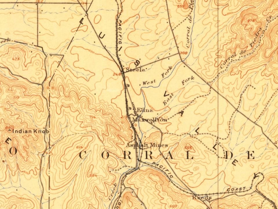
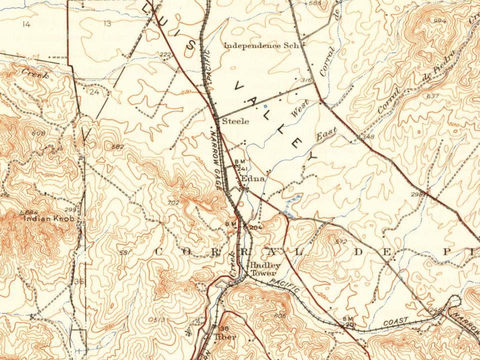
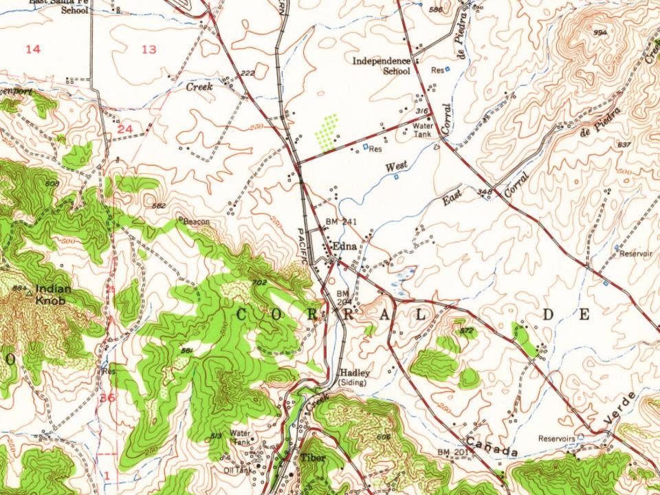
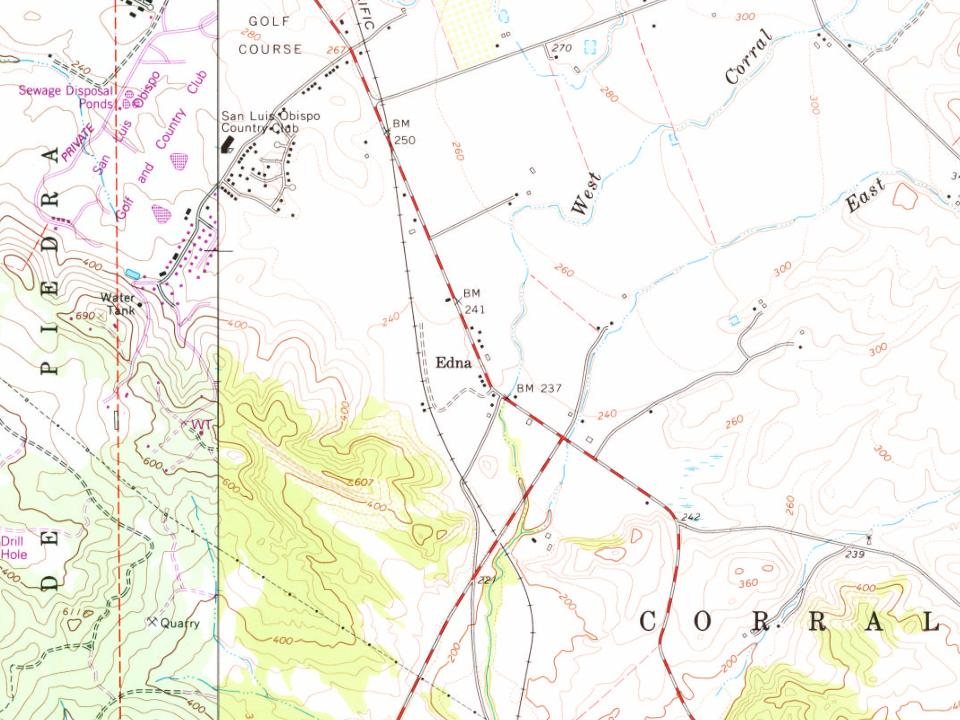
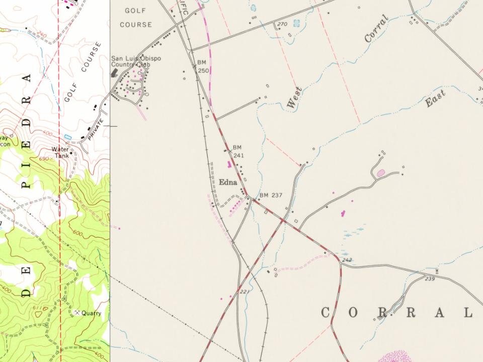
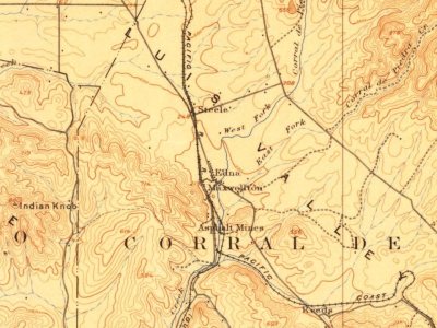
The community was founded by Dairyman Edgar Steele who purchased 58,000 acres and built a town to house his employees. In 1883 Lynford Maxwell subdivided the area and called it Maxwellton. The citizens later renamed it Edna. There was coal tar mining of bituminous rock in the 1880s and 1890s and more recently wine grape growing has become the prominent industry.
Passages that mention Edna, cut from the printed page as they were published.
History of San Luis Obispo County and environs, California, with biographical sketches of the leading men and women of the county and environs who have been identified with the growth and development of the section from the early days to the present1917 · page 598Read the page →
Read the text
1886, when thirteen years old, he assisted his grandfather, Hiram Bonee, to drive cattle, horses and goats from Mendocino county down into San Luis Obispo County, taking a month to make the journey. Mr. Bonee purchased one hundred acres of land from Steele Bros, near the station of Edna, and for ten years farmed with success. Young Howard learned the trade of blacksmith, and in 1897 settled in Arroyo Grande, where for eight years he conducted a blacksmith shop in conjunction with a livery business. In 1905 he bought out the transfer busi-
Text read by machine from the scan; it may contain errors.
Scans and text from the Internet Archive. Books published in 1930 or earlier, which are in the public domain.
Timeline
Edna, 1887 to 1920
Woven from the archive, old maps, post office records, the National Register and the people born here.
Founding dates: Wikidata, Wikipedia, the U.S. post office records of Blevins & Helbock (CC0) and the Census. Homes by year built: Census ACS 2020–24. National Register of Historic Places: National Park Service (list of May 22, 2026). Old photos, postcards and papers: Wikimedia Commons, the Library of Congress and other public archives, credited on each item’s page. Maps: U.S. Geological Survey historical topographic maps (via Esri) and Sanborn fire-insurance maps (Library of Congress). History text and census tables: Wikipedia (CC BY-SA 4.0). Places that used to be: USGS Geographic Names Information System (2021). How TownRatings grades history →
From Wikipedia, U.S. Geological Survey historical maps, the US Post Offices dataset (Blevins & Helbock), the USGS Geographic Names Information System and old county and town histories (Internet Archive). Archive images are copied here with their credits and licenses, shown on each photo’s page. Refreshed monthly.