Delano dates to 1869, and 2 of its places are on the National Register
More historic than 42% of U.S. towns · #206 of 847 in California. What drives it
Most of Delano was built recently: 3% of its homes predate 1940 and the median home dates from 1989. 2 places in town are on the National Register, among them the Forty Acres, a National Historic Landmark, and a historic district with 4 buildings. Below: 6 old photos and papers, maps from 1888 on, and the census since 1920.
Founding year: Wikidata; Wikipedia’s history section gives the same year. First post office: 1874.The full story ↓
History grade
What drives Delano’s History grade
On its age, its old homes and the National Register, Delano is more historic than 42% of U.S. towns, #206 of 847 in California. Its National Register listings hold the grade up; its share of homes from before 1940 pulls it down.
C+
HistoryA character grade: shown, never part of Delano’s overall grade.
Few California towns list much on the Register (a typical California town has 0.0 per 10,000 residents, the U.S. 2.4), so Delano’s 1.0 sits above most of its state (75% of California towns have fewer) while its 5 historic buildings outnumber those of 70% of U.S. towns.
How sure. Graded on any two of the three inputs instead, the letter would range from C− to B. The pre-1940 share (±1.6 points) is firm at this size. Two sources give 1869.
Founding year: Wikidata (other dates in Quick answers). Homes: Census ACS 2020–24. National Register: National Park Service, May 2026 list; each listing counted once (boundary changes and added documentation belong to their listing), and a historic district counts its contributing buildings. How TownRatings grades history →
What stands out about Delano’s past
Read from the archive, the National Register and the record. The page puts what stands out first.
Fire insurance maps drew every building, what it was made of and what it was used for, so insurers could price the risk of fire. Pick a year, then a sheet.
1888Sheet 1 of 1
Edition
Sheets
BrickWoodStone
Sanborn Map Company, via the Library of Congress. Editions published in 1930 or earlier, which are in the public domain.
On the National Register
2 historic places in Delano
The country’s official list of buildings and places worth saving. One is a National Historic Landmark, the highest tier.
Delano was founded on July 14, 1869, as a railroad town, not because the railroad passed through the town but because the railroad coming south from San Francisco terminated at Delano. The name was officially given by the Southern Pacific Railroad in honor of Columbus Delano, at the time the Secretary of the Interior (1870–1875) for the United States. The first post office opened in 1874. Delano incorporated in 1913.
Passages that mention Delano, cut from the printed page as they were published.
History of Kern County, California, with biographical sketches of the leading men and women of the county who have been identified with its growth and development from the early days to the present1914 · page 184Read the page →
Read the text
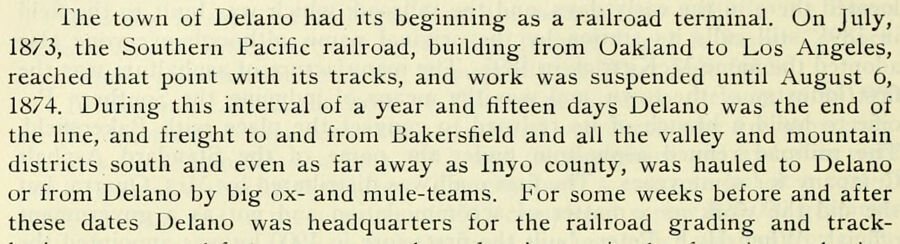
The town of Delano had its beginning as a railroad terminal. On July, 1873, the Southern Pacific railroad, building from Oakland to Los Angeles, reached that point with its tracks, and work was suspended until August 6, 1874. During this interval of a year and fifteen days Delano was the end of the line, and freight to and from Bakersfield and all the valley and mountain districts south and even as far away as Inyo county, was hauled to Delano or from Delano by big oxand mule-teams. For some weeks before and after these dates Delano was headquarters for the railroad grading and track-
Text read by machine from the scan; it may contain errors.
History of Kern County, California, with biographical sketches of the leading men and women of the county who have been identified with its growth and development from the early days to the present1914 · page 328Read the page →
Read the text
America and Africa. After a long association with the sheep industry he sold the last of his flock about 1911 and since then has devoted his attention wholly to raising Short-horn Durham cattle. Not only was he the first settler on the plains east of Delano in Kern county, but besides he merits mention because he is one of the few successful men who have engaged in dry farming and stock-raising on the plains. The Quinn ranch is located ten miles east of Delano and lies principally in Rag gulch, although some parts of it lie in the Sierra Nevadas inside of the forest reserve. The ranch i.-, well
Text read by machine from the scan; it may contain errors.
Scans and text from the Internet Archive. Books published in 1930 or earlier, which are in the public domain.
Timeline
Delano, 1869 to 2008
Woven from the archive, old maps, post office records, the National Register and the people born here.
Nothing in the archives for these yearsWeddings on Main Street, storms, parades, school pictures, the old store. If it’s in your family album, it belongs here.
In 1869, according to Wikidata and Wikipedia’s history of the town. Delano’s post office opened in 1874, and the census of 1920 counted 805 people here.
How does Delano rank for history?
Delano is more historic than 42% of U.S. towns, #206 of 847 in California. The History grade combines the town’s founding era, the share of homes built before 1940 and its National Register listings. It’s a character grade, so it isn’t part of the overall grade. How it works.
What is on the National Register in Delano?
Two places: the Forty Acres (listed 2008) and the National Farm Workers Association Headquarters (2015).
How old are the homes in Delano?
3% of Delano’s homes were built before 1940 (Census estimate, ±1.6 points), against a typical 3.4% for a California town; the median home was built in 1989.
Founding dates: Wikidata, Wikipedia, the U.S. post office records of Blevins & Helbock (CC0) and the Census. Homes by year built: Census ACS 2020–24. National Register of Historic Places: National Park Service (list of May 22, 2026). Old photos, postcards and papers: Wikimedia Commons, the Library of Congress and other public archives, credited on each item’s page. Maps: U.S. Geological Survey historical topographic maps (via Esri) and Sanborn fire-insurance maps (Library of Congress). History text and census tables: Wikipedia (CC BY-SA 4.0). Places that used to be: USGS Geographic Names Information System (2021).
From the Library of Congress (6), the National Register of Historic Places (2), Wikipedia, Wikidata and Wikipedia for famous people, U.S. Geological Survey historical maps, U.S. Census counts (via Wikipedia), the US Post Offices dataset (Blevins & Helbock), the USGS Geographic Names Information System, Sanborn fire insurance maps (Library of Congress) and old county and town histories (Internet Archive). Archive images are copied here with their credits and licenses, shown on each photo’s page. Refreshed monthly.


 ★ Landmark




 1940
 1940
 1940
 1940
 1940


