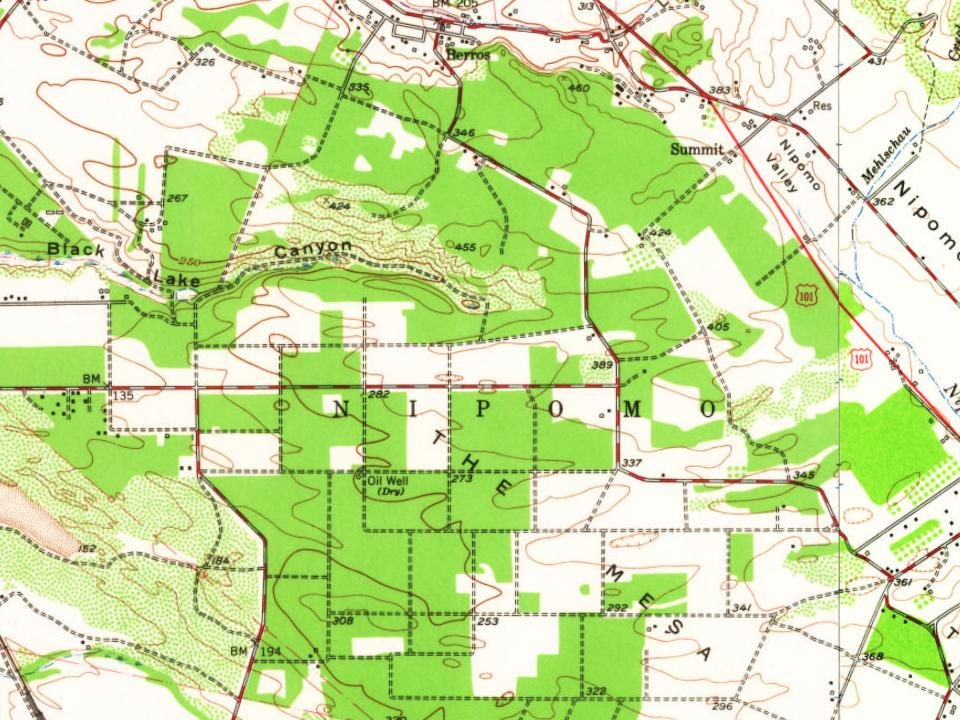
The Nipomo Mesa lies within the ancestral homeland of the Northern Chumash, also known as the Obispeño, who have lived in the region for more than 10,000 years and who traded shell beads and fine-grained tool stone between coastal and interior villages. Archaeological survey of the mesa has recorded prehistoric camps and villages along the tops of the bluffs and the older dunes, with further sites inland near springs and along Black Lake Canyon, where large, low-density settlements have been documented.
The San Luis Obispo County Board of Supervisors adopted the Black Lake Specific Plan on February 28, 1983. The plan provided for residential and recreational development centered on the golf course.
Founding dates: Wikidata, Wikipedia, the U.S. post office records of Blevins & Helbock (CC0) and the Census. Homes by year built: Census ACS 2020–24. National Register of Historic Places: National Park Service (list of May 22, 2026). Old photos, postcards and papers: Wikimedia Commons, the Library of Congress and other public archives, credited on each item’s page. Maps: U.S. Geological Survey historical topographic maps (via Esri) and Sanborn fire-insurance maps (Library of Congress). History text and census tables: Wikipedia (CC BY-SA 4.0). Places that used to be: USGS Geographic Names Information System (2021). How TownRatings grades history →
From Wikipedia and U.S. Geological Survey historical maps. Archive images are copied here with their credits and licenses, shown on each photo’s page. Refreshed monthly.