
Lemmon Rock Lookout House · National Register of Historic Places
Summerhaven’s story
102 years in pictures
1 place on the National Register of Historic Places.
- 1924Summerhaven is settled
Each edition grades its towns against each other only.

A town, settled in 1924.
Summerhaven’s July high is 74°F, below both Arizona’s towns (100°F) and U.S. towns (85°F). 90% of the land in Summerhaven is conserved, above both the Arizona town median (14%) and the median of U.S. towns (4.3%). The biggest place to walk is Pusch Ridge Wilderness, 666 acres with 4.8 miles of trail. We don’t grade Summerhaven yet; the figures below are still real.
1 place on the National Register of Historic Places.
Museums, parks, gardens and other places to visit around Summerhaven. Close and well known come first.
 in town MountainMount Lemmon
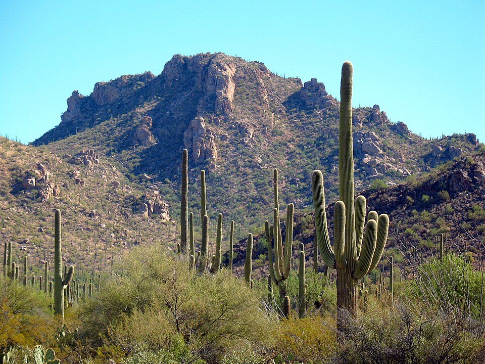 15 mi National ParkSaguaro National Park848K visitors a year
 18 mi Stadium & arenaArizona Stadium
 22 mi MuseumPima Air & Space Museum
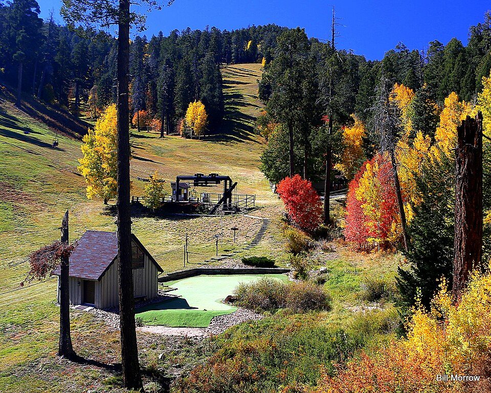 in town Ski areaMount Lemmon Ski Valley21 runs · 766 ft vertical
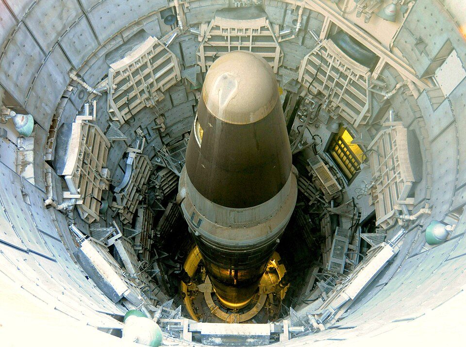 40 mi MuseumTitan Missile Museum
Mount Lemmon: Debby Kriegel, Public domain · Saguaro National Park: Luke Jones from Yucca Valley, CC BY 2.0 · Arizona Stadium: Wcarlisle4, CC BY-SA 3.0 · Pima Air & Space Museum: The original uploader was MCB at English Wikipedia. Later versions were uploade, CC BY-SA 2.5 · Mount Lemmon Ski Valley: Bill Morrow, CC BY 2.0 · Titan Missile Museum: Mike McBey, CC BY 2.0
Summerhaven is unincorporated, so Pima County and regional agencies provide most services.
EPA SDWIS (Oct 9, 2026) · HIFLD + EIA-861 2025 · Census 2020 ZCTAs · NCES 2024–25 · registration: vote.gov, updated Sep 12, 2025.
Ordered by what stands out in Summerhaven.
17 miles of trail in 2 parks and preserves. Summerhaven’s trail density is 3.6 miles per square mile.
| Biggest places to walk | Trails | Acres |
|---|---|---|
| 1. Pusch Ridge Wilderness | 4.8 mi | 666 |
| 2. Faul Preservation Area | 0.1 mi | 1 |
Trails & parks © OpenStreetMap contributors · Conserved land: USGS PAD-US
Expected storm and flood damage is higher than in 82% of U.S. communities.
FEMA National Risk Index · OpenFEMA
Summerhaven has chilly winters and cool summers. The January low in Summerhaven is 27°F.
NOAA U.S. Climate Normals, 1991–2020
25% of Summerhaven adults feel lonely. Only 7 of the 141 Arizona towns we compare have a lower share of adults who report frequent mental distress than Summerhaven. 15% of Summerhaven adults say their health is fair or poor.
| Summerhaven | Arizona towns | U.S. towns | |
|---|---|---|---|
| Frequent mental distress (CDC PLACES) | 11% | 16% | 17% |
| Binge drink (CDC PLACES) | 9.8% | 14% | 16% |
| Feel lonely (CDC PLACES) | 25% | 31% | 33% |
| Yearly checkup (CDC PLACES) | 86% | 75% | 79% |
| What stands out | Summerhaven | AZ |
|---|---|---|
| Fewer uninsured adults | 3.7% | 13.2% |
| Fewer adults facing food insecurity | 4.6% | 15.8% |
| More adults who have had cancer | 18.5% | 8.8% |
CDC PLACES 2025 · modeled estimates for adults · CMS · HRSA
Zillow Home Value Index · Redfin Data Center
1 within 15 miles of the center of Summerhaven
CDP in Pima County, Arizona
Summerhaven is a small unincorporated community and census-designated place (CDP) on Mount Lemmon in the Santa Catalina Mountains north of Tucson in Pima County, Arizona, United States. As of the 2010 census it had a permanent population of 40. Summerhaven sits at an elevation of approximately 7,600 to 8,200 feet (2,300 to 2,500 m) above sea level. Summerhaven is accessed via the Catalina Highway from suburban northeast Tucson, and it is about 24.5 miles (39.4 km) from the base of the mountains to Summerhaven.
From Wikipedia, licensed CC BY-SA 4.0 · facts via Wikidata (CC0)
Short answers, built from the data on this page.
We don’t grade Summerhaven yet; the figures below are still real.


