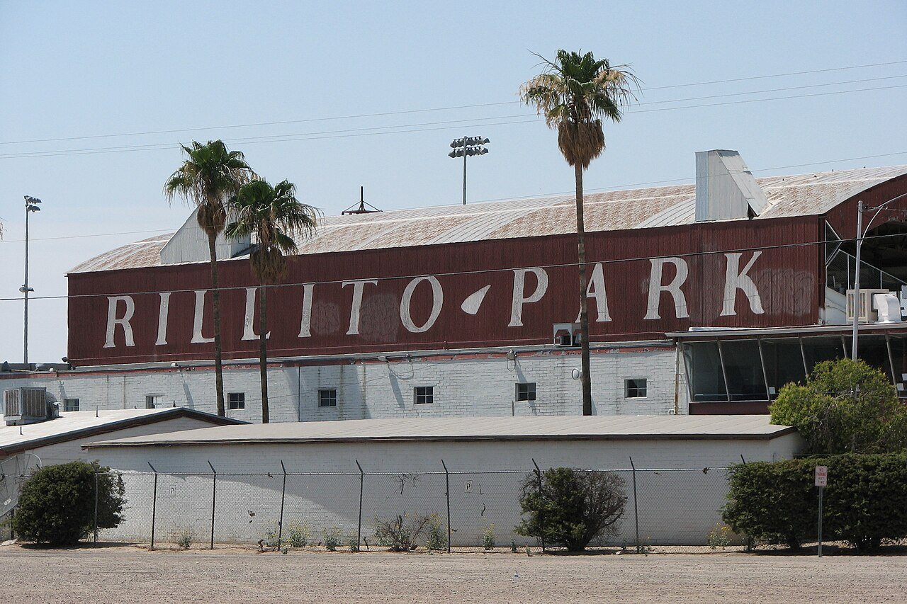
68 years in pictures
Census counts: 902 in 1960, a peak of 2,829 in 1970, 1,741 in 2020. The archive holds 6 old photos and papers going back to 1987 and 2 maps from 1910 on.
- 1958Kearny is settled
Each edition grades its towns against each other only.

A town of 1,849, settled in 1958. 100% of it is conserved land.
Kearny’s best subject grades are an A+ for cost of living and the outdoors; its weakest is a D for incomes. Kearny’s July high is 104°F, against 100°F in Arizona’s towns and 85°F across U.S. towns. On cost of living, just 16 of Arizona’s 203 towns do better. Most errands need a car: it is less walkable than 69% of U.S. towns. 100% of the land in Kearny is conserved, above both the Arizona town median (14%) and the median of U.S. towns (4.3%). No town in Arizona scores higher than Kearny on the outdoors. Kearny has 3 places on the National Register. Kearny has fewer than 2,500 residents, so it gets subject grades but no overall grade.
Where Kearny beats most towns.
1,950 counted in 2010 and 1,741 in 2020; an estimated 1,849 in 2025.
U.S. Census 2010 & 2020 counts · Census Bureau estimate, July 1, 2025
Each subject compared with towns across the country (schools within Arizona), ordered by how far Kearny is from typical.
How TownRatings grades towns →
Census counts: 902 in 1960, a peak of 2,829 in 1970, 1,741 in 2020. The archive holds 6 old photos and papers going back to 1987 and 2 maps from 1910 on.
Who provides power, water and the rest in Kearny, and how to reach them.
EPA SDWIS (Oct 9, 2026) · HIFLD + EIA-861 2025 · Census 2020 ZCTAs · NCES 2024–25 · registration: vote.gov, updated Sep 12, 2025.
Ordered by what stands out in Kearny.
4.1 miles of trail in 1 park or preserve. Kearny’s trail density is 1.5 miles per square mile.
| Biggest places to walk | Trails | Acres |
|---|---|---|
| 1. Hubbard Park | — | 5 |
Trails & parks © OpenStreetMap contributors · Conserved land: USGS PAD-US
Its public schools are run by the Ray Unified District. Two of its 3 schools are below, each with why it’s listed.
| School | Level | Students | Letter |
|---|---|---|---|
| Ray Elementary SchoolLargest public elementary schoolGrades PK–6 | Grades PK–6 | 161 | C |
| Ray JR/SR High SchoolLargest public high schoolGrades 7–12 | Grades 7–12 | 157 | D |
NCES · EDFacts · graded within AZ on state tests and graduation
The typical Kearny home is worth about $160,000, down 4.5% in a year, 62% below the Arizona typical home. 82% of households own their home in Kearny.
| Kearny | Arizona towns | U.S. towns | |
|---|---|---|---|
| Households that own their home | 82% | 76% | 73% |
| Median rent | $1,065 a month | $1,200 a month | $1,185 a month |
Census ACS, 2020–24 · Zillow Home Value Index · Redfin Data Center
Most working residents leave Kearny for work: only 7% work in town. The top destinations are Phoenix (18%), Mesa (8%) and Tempe (5%). Half commute less than 56 miles.
| Kearny | Arizona towns | U.S. towns | |
|---|---|---|---|
| Working residents who work in town | 6.8% | 10% | 8% |
| Below the poverty line | 12% | 12% | 9.6% |
Census LEHD 2023 · ACS
Kearny has mild winters and scorching summers, with very little rain. The January low in Kearny is 35°F.
NOAA U.S. Climate Normals, 1991–2020
Kearny beats the Arizona average on 1 of 32 CDC measures and trails it on 12.
| Kearny | Arizona towns | U.S. towns | |
|---|---|---|---|
| Obesity (CDC PLACES) | 39% | 32% | 35% |
| Diabetes (CDC PLACES) | 15% | 13% | 12% |
| No health insurance, 18–64 (CDC PLACES) | 15% | 12% | 8.1% |
| Sleep under 7 hours (CDC PLACES) | 38% | 35% | 36% |
| What stands out | Kearny | AZ |
|---|---|---|
| More adults treating high blood pressure | 78.3% | 73.9% |
| More adults with diabetes | 14.7% | 11.3% |
CDC PLACES 2025 · modeled estimates for adults · CMS · HRSA
Expected storm and flood damage is higher than in 63% of U.S. communities. Since 1978, 2 flood insurance claims have been paid out in Kearny.
FEMA flood insurance claims · FEMA National Risk Index · OpenFEMA
None within 15 miles of Kearny; the nearest are
About 4 of every 100 Kearny residents are enrolled in college, against 6 across Arizona.
Where Kearny’s working residents go each day. Line width shows the share.
Census LEHD 2023
Town in Pinal County, Arizona
Kearny is a town in Pinal County, Arizona, United States. The town was named after General Stephen Watts Kearny, who passed through the area on November 7, 1846, while leading 100 dragoons to California. As of the 2020 census, Kearny had a population of 1,741. The economic base of Kearny and nearby towns is the Ray mine and Hayden Smelter, both owned and operated by ASARCO.
From Wikipedia, licensed CC BY-SA 4.0 · facts via Wikidata (CC0)
Short answers, built from the data on this page.
100% of it is conserved land.
Not for the area. Cost of living, which also weighs rents, property taxes and how many households pay 30% or more of their income for housing, grades A+.