76 years in pictures
Census counts: 2,390 in 1970, 38,499 in 2020. The archive holds 18 old photos and papers going back to 1940 and 5 maps from 1904 on.
- 1950Apache Junction is settled
Each edition grades its towns against each other only.

Apache Junction gives you more for your money than most places: a typical home costs about $370K, 4.2 years of the Phoenix metro’s $88K median household income. It grades C+ overall, 67th of 139 graded towns in Arizona. Apache Junction’s July high is 105°F, above both the Arizona town median (100°F) and the median of U.S. towns (85°F). Apache Junction has 1 place on the National Register. The biggest park or preserve is Prospector Park, at 35 acres.
Where Apache Junction beats most towns.
65% of the town is conserved land, across 13 parks and preserves.
Each subject compared with towns across the country (schools within Arizona), ordered by how far Apache Junction is from typical.
How TownRatings grades towns →
Census counts: 2,390 in 1970, 38,499 in 2020. The archive holds 18 old photos and papers going back to 1940 and 5 maps from 1904 on.
Who provides power, water and the rest in Apache Junction, and how to reach them.
EPA SDWIS (Oct 9, 2026) · HIFLD + EIA-861 2025 · Census 2020 ZCTAs · NCES 2024–25 · registration: vote.gov, updated Sep 12, 2025.
Ordered by what stands out in Apache Junction.
Apache Junction trades lower home prices for longer drives to work, carries less natural-hazard risk than most of Arizona (mostly inland flooding) and has a longer frost-free season than nearly all U.S. towns.
Its 18,828 conserved acres are a larger share of the town than in 93% of Arizona towns.
99 miles of trail in 13 parks and preserves. Apache Junction’s trail density is 2.2 miles per square mile.
| Biggest places to walk | Trails | Acres |
|---|---|---|
| 1. Prospector Park | 0.8 mi | 35 |
| 2. Earth Heart Park & Community Garden | 0.3 mi | 2 |
| 3. Superstition Shadows Park | 0.2 mi | 23 |
Trails & parks © OpenStreetMap contributors · Conserved land: USGS PAD-US
Its public schools are run by the Apache Junction Unified District. Two of its 13 schools are below, each with why it’s listed. The largest public high school is Apache Junction High School, with 796 students.
| School | Level | Students | Letter |
|---|---|---|---|
| Cactus Canyon Junior HighLargest public middle schoolGrades 6–8 | Grades 6–8 | 527 | C |
| Apache Junction High SchoolLargest public high schoolGrades 9–12 | Grades 9–12 | 796 | C− |
NCES · EDFacts · graded within AZ on state tests and graduation
Most working residents leave Apache Junction for work: only 6% work in town. The average trip to work in Apache Junction is 28 minutes. Since 2013, Apache Junction has lost 477 jobs, to 7,659 in 2023.
| Apache Junction | Arizona towns | U.S. towns | |
|---|---|---|---|
| Average trip to work | 28 minutes | 24 minutes | 25 minutes |
| Median household income | $61,000 | $69,000 | $80,000 |
| Work from home | 14% | 12% | 11% |
| Working residents who work in town | 6.5% | 10% | 8% |
Census LEHD 2023 · ACS
Reported crimes fell from 882 to 642 over the last three FBI years, a drop beyond ordinary year-to-year swings.
FBI crime data, 2025 · crimes reported to police
Against the 9,170 U.S. towns with household incomes like Apache Junction’s, it is healthier than 53%, so its C isn’t only a matter of income. All 3 graded neighbors score healthier than its C, from Gold Canyon (B) to Queen Creek (A).
Apache Junction beats the Arizona average on 6 of 32 CDC measures and trails it on 13. 43% of Apache Junction adults have high blood pressure.
| Apache Junction | Arizona towns | U.S. towns | |
|---|---|---|---|
| High blood pressure (CDC PLACES) | 43% | 36% | 35% |
| Frequent physical distress (CDC PLACES) | 17% | 15% | 14% |
| Diabetes (CDC PLACES) | 15% | 13% | 12% |
| Binge drink (CDC PLACES) | 13% | 14% | 16% |
| What stands out | Apache Junction | AZ |
|---|---|---|
| Fewer binge drinkers | 12.7% | 15.3% |
| Fewer adults facing housing insecurity | 10.2% | 12% |
| More adults with COPD | 10.5% | 6.6% |
CDC PLACES 2025 · modeled estimates for adults · CMS · HRSA
The Apache Junction 5 Ne weather station, 6 miles away, records that the frost-free season runs about 304 days, longer than in 95% of U.S. towns. The Apache Junction 5 Ne weather station, 6 miles away, records that about 168 days a year reach 90°, more than in 99% of U.S. towns.
Apache Junction has warm winters and scorching summers, with very little rain.
NOAA U.S. Climate Normals, 1991–2020
FEMA rates its natural-hazard risk lower than 86% of Arizona towns, with expected losses of about $231 per resident a year; that rating is what its B for hazard risk is built on.
Since 2013, 15 flood insurance claims have been paid out in Apache Junction.
FEMA flood insurance claims · FEMA National Risk Index · OpenFEMA
Homes are within reach (about $370K for the typical one, A− for cost of living), but half of working residents commute more than 23 miles. Its typical home is the least expensive on its borders; Mesa is next at $429K.
The typical Apache Junction home is worth about $370,000, down 1.9% in a year, 11% below the Arizona typical home.
| Apache Junction | Arizona towns | U.S. towns | |
|---|---|---|---|
| Households that own their home | 79% | 76% | 73% |
| Median rent | $1,146 a month | $1,206 a month | $1,185 a month |
Zillow Home Value Index · Redfin Data Center
Museums, parks, gardens and other places to visit around Apache Junction. Close and well known come first.
31 mi Stadium & arenaMortgage Matchup Center
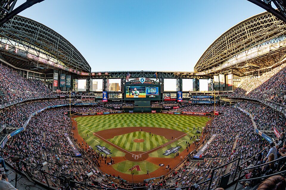
31 mi Stadium & arenaChase Field
23 mi Stadium & arenaMountain America Stadium
23 mi Stadium & arenaMullett Arena
26 mi MountainCamelback Mountain
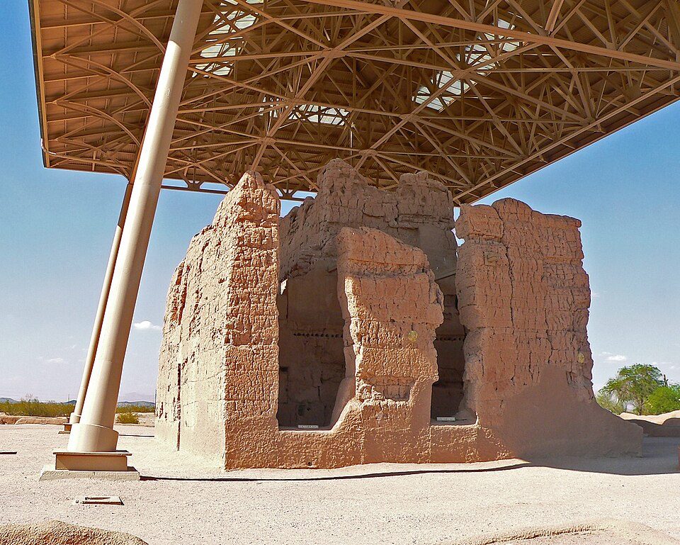
26 mi National MonumentCasa Grande Ruins National Monument88K visitors a yearMortgage Matchup Center: Troutfarm27, CC BY-SA 4.0 · Chase Field: U.S. Air Force photo by Staff Sgt. Tyler J. Bolken, Public domain · Mountain America Stadium: Clintus McGintus, CC BY-SA 2.0 · Mullett Arena: Kyvuh, CC0 · Camelback Mountain: Dru Bloomfield from Scottsdale, Arizona, USA, CC BY 2.0 · Casa Grande Ruins National Monument: Greg Hume, CC BY-SA 3.0
None within 15 miles of Apache Junction; the nearest are
About 3 of every 100 Apache Junction residents are enrolled in college, against 6 across Arizona.
Where Apache Junction’s working residents go each day. Line width shows the share.
Census LEHD 2023
City in Arizona, United States
Apache Junction (Western Apache: Hagosgeed) is a city in Pinal and Maricopa counties, Arizona, United States. As of the 2020 census, the population was 38,499, most of whom lived in Pinal County. It is named for the junction of the Apache Trail and the Old West Highway. The area where Apache Junction is located used to be known as Youngberg. Superstition Mountain, the westernmost peak of the Superstition Mountains, is to the east.
From Wikipedia, licensed CC BY-SA 4.0 · facts via Wikidata (CC0)
3 towns share a border with Apache Junction.
All 3 graded towns on its borders grade higher than its C+; Gold Canyon (C+) is closest. Queen Creek next door grades higher for schools (A− to Apache Junction’s C+) and lower for cost of living (C− to A−).
| Town | AZ rank | Overall | Cost | Safety | Schools | Health |
|---|---|---|---|---|---|---|
| Apache Junction | #67 | C+ | A− | C | C+ | C |
| Mesa | #50 | B− | C | C− | B | A− |
| Gold Canyon | #62 | C+ | C | — | C+ | B |
| Queen Creek | #10 | A− | C− | B | A− | A |
Gold Canyon reports no FBI crime data of its own. Compare Apache Junction with a neighbor →
Short answers, built from the data on this page.
Apache Junction grades C+ overall, better than 38% of U.S. towns and #67 of 139 in Arizona. It grades C for health, C for safety and C+ for schools.
Not for the area. Cost of living, which also weighs rents, property taxes and how many households pay 30% or more of their income for housing, grades A−.