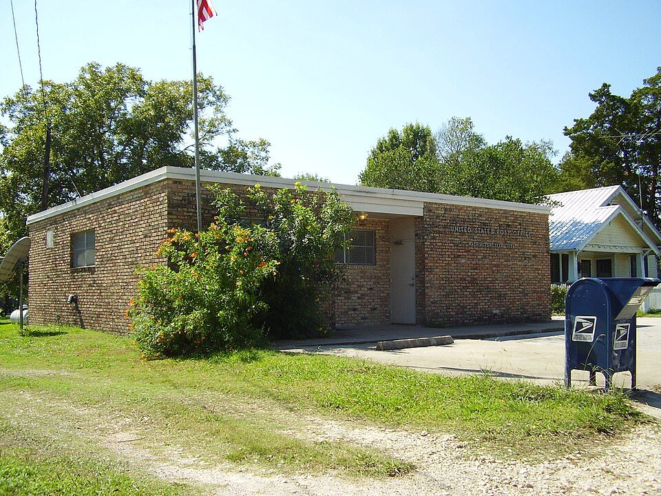
Washington-on-the-Brazos
Washington-on-the-Brazos, also known simply as Washington, is an unincorporated community along the Brazos River. Head 18 mi northeast of Brenham to reach it. Further out, Kyle Field is 23 mi away.

A state park, 18 mi northeast of Brenham
Plan where you’ll sleep
The nearest town with many places to stay is Brenham, 18 miles southwest. Where to stay ↓
Summers are hot
July and August highs run 95–96°, and about 112 days a year reach 90°. When to go ↓
A day trip from Houston
Houston is about 59 miles southeast and Austin is about 95 miles west (straight-line). Where to stay ↓
Best months: Jan, Feb, Mar, Apr, Oct, Nov and Dec
January, February, March, April, October, November and December are the mild months, with highs of 62–82°. When to go ↓
Written from NOAA 1991–2020 normals, Overture places to stay, Census town figures, Wikidata and Wikipedia.
Choosing a month
Here is how the weather at Washington-on-the-Brazos changes month by month.
Washington-on-the-Brazos
Washington-on-the-Brazos, also known simply as Washington, is an unincorporated community along the Brazos River in Washington County, Texas, United States. The town is best known for being the site of the Convention of 1836 and the signing of the Texas Declaration of Independence.
The town is named for Washington, Georgia, itself named for George Washington. It is officially known as just "Washington", but after the Civil War came to be known as "Washington-on-the-Brazos" to distinguish the settlement from "Washington-on-the-Potomac", Washington, D.C.
- Type
- State park
- Elevation
- 226 ft
- Wikipedia readers
- 16K a year
Where to base yourself for Washington-on-the-Brazos
To stay close, try College Station (57) and Brenham (28).
College Station
The closest town with somewhere to stay.
127,472 people
20 mi northwest of Washington-on-the-Brazos
Compare 8 towns
| Town | From Washington-on-the-Brazos | Drive | Places to stay | People | Typical home | Safety |
|---|---|---|---|---|---|---|
| College Station | 20 mi northwest | 30 min | 57 48 hotels · 2 motels · 1 inn or B&B · 1 lodge or cabins · 2 campgrounds · 3 RV parks | 127,472 | $347K | B− |
| Brenham | 18 mi southwest | 30 min | 28 12 hotels · 2 motels · 10 inns & B&Bs · 3 lodges & cabins · 1 RV park | 19,957 | $241K | C− |
| Bryan | 27 mi northwest | 40 min | 51 27 hotels · 7 motels · 5 inns & B&Bs · 1 lodge or cabins · 1 campground · 10 RV parks | 91,996 | $228K | C |
| Magnolia | 26 mi east | 40 min | 9 2 hotels · 1 campground · 6 RV parks | 8,095 | $323K | A− |
| Stagecoach | 30 mi southeast | 45 min | 9 1 hotel · 8 RV parks | 606 | $435K | — |
| Bellville | 27 mi south | 40 min | 5 4 inns & B&Bs · 1 lodge or cabins | 4,379 | $284K | C+ |
| Montgomery | 28 mi east | 40 min | 4 2 inns & B&Bs · 1 lodge or cabins · 1 campground | 3,105 | $363K | B− |
| Burton | 29 mi west | 45 min | 4 1 hotel · 2 inns & B&Bs · 1 lodge or cabins | 288 | $275K | — |
Getting there
Nearest airports with airline service
Nearby, too
More places people know lie within 64 miles.
 Big draw123 mi Stadium & arenaKyle Field
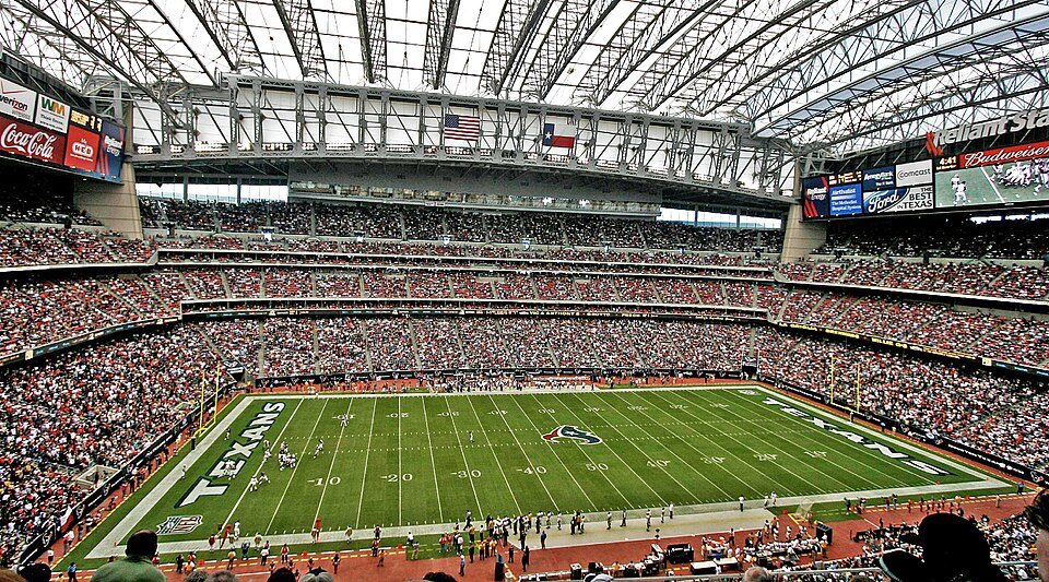 Big draw63 mi Stadium & arenaReliant Stadium
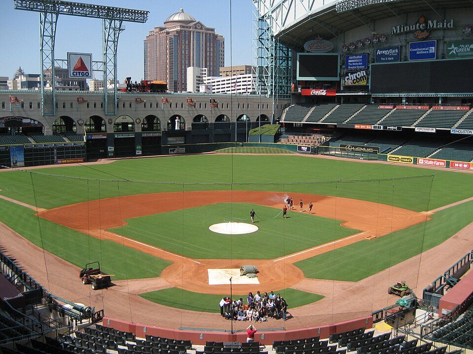 Big draw62 mi Stadium & arenaDaikin Park
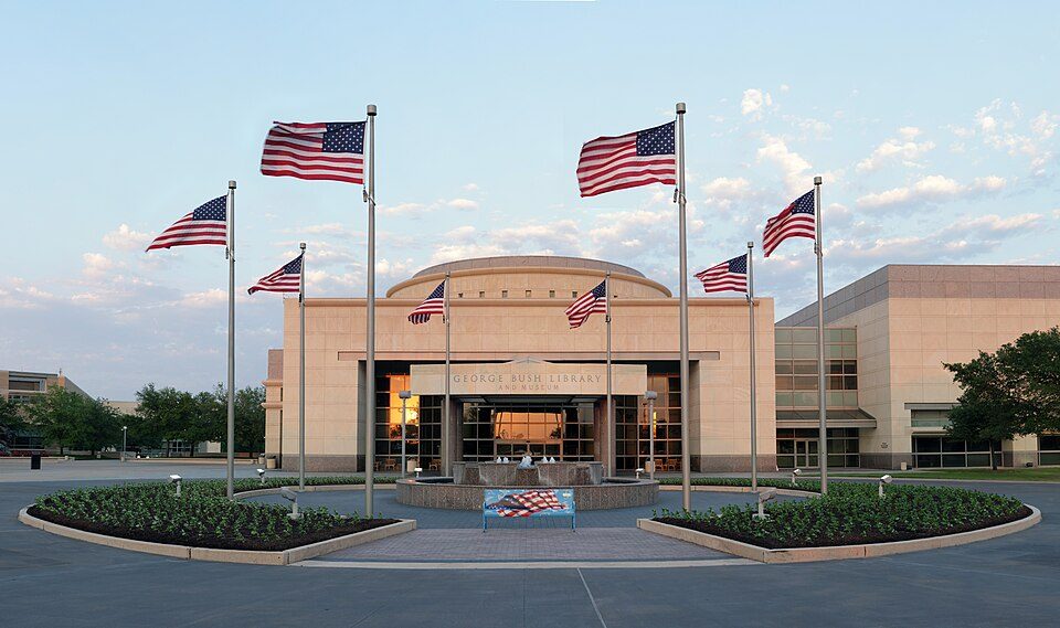 222 mi MuseumGeorge Bush Presidential Library
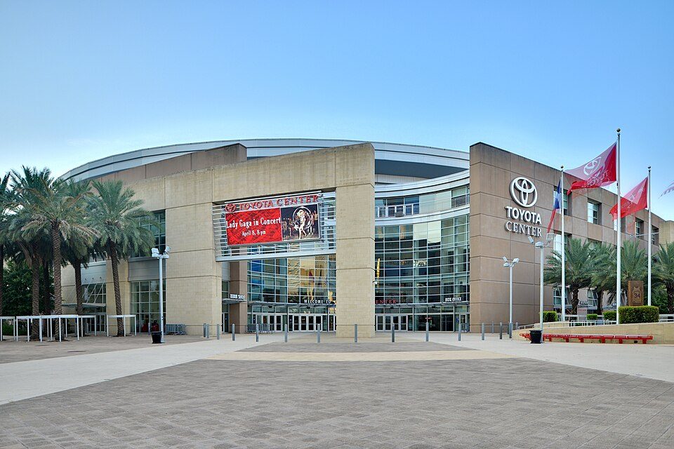 62 mi Stadium & arenaToyota Center
 61 mi MuseumRothko Chapel
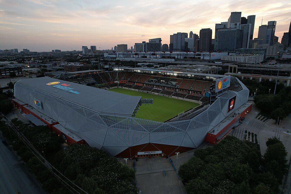 62 mi Stadium & arenaShell Energy Stadium
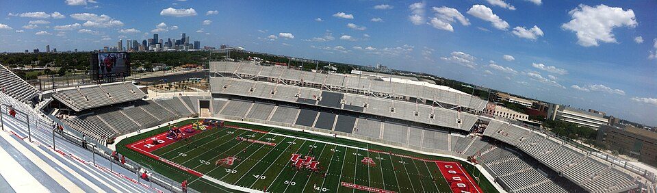 64 mi Stadium & arenaTDECU Stadium
Photo credits
Kyle Field: Janreagan at English Wikipedia, CC BY-SA 4.0 · Reliant Stadium: User eschipul on Flickr, CC BY-SA 2.0 · Daikin Park: Delaywaves, CC BY 3.0 · George Bush Presidential Library: Jujutacular, CC BY-SA 3.0 · Toyota Center: Ed Uthman from Houston, TX, USA, CC BY 2.0 · Rothko Chapel: Unknown, Public domain · Shell Energy Stadium: HDFC PR, CC BY-SA 4.0 · TDECU Stadium: Brian Reading, CC BY-SA 4.0


Asked about Washington-on-the-Brazos
What town is Washington-on-the-Brazos near?
Brenham, TX, about 18 miles southwest.
When is the best time to visit Washington-on-the-Brazos?
January, February, March, April, October, November and December, with highs of 62–82°.
How far is Washington-on-the-Brazos from Houston and Austin?
About 59 miles southeast of Houston and about 95 miles west of Austin, as the crow flies.
What is the closest airport to Washington-on-the-Brazos?
Easterwood Field (CLL), about 22 miles away. The nearest big hub is George Bush Intercontinental (IAH), about 54 miles.
Where should I stay near Washington-on-the-Brazos?
College Station (20 mi, 57 places to stay), Brenham (18 mi, 28 places to stay) and Bryan (27 mi, 51 places to stay).
Notes from people in Brenham
No one has shared advice yet; Brenham’s Town Square takes questions.
Sources: National Park Service · ski areas © OpenSkiMap / OpenStreetMap contributors · Wikidata · Wikipedia readership · NOAA climate normals · U.S. Census.