
Waimea Valley
Waimea Valley is an area of historic cultural significance on the North Shore of Oahu, Hawaii. This one stands 1 mi south of Pupukea. The first name on our list around it is USS Missouri, 20 mi away.

A garden, 1 mi south of Pupukea
Pupukea is the nearest base
Pupukea is 1 miles north, with 5 places to stay. Where to stay ↓
Best months: Jan, Feb, Mar, Apr, May, Nov and Dec
January, February, March, April, May, November and December are the mild months, with highs of 78–83°. When to go ↓
Written from NOAA 1991–2020 normals, Overture places to stay, Census town figures and Wikipedia.
The year’s weather
Use the months below to time a visit to Waimea Valley.
Waimea Valley
Waimea Valley is an area of historic cultural significance on the North Shore of Oahu, Hawaii. The valley, being an important place in Hawaiian religion, includes several historical structures including stone terraces and walls constructed during the time of the Hawaiian monarchy. The nutrient-rich volcanic soil combined with a rainy environment provided the resourceful Hawaiians of the area the opportunity to create one of the most prosperous farming communities in all of Polynesia. The area had complex fish ponds, domesticated animal pens, various large farming beds, and was famous for the cultivation of pink taro root stock, a coveted item to the Ali`i (the Hawaiian elite). Much of the garden floor was once cultivated for taro, sweet potato, and bananas, with new crops and orchards introduced by Europeans after their arrival.
- Type
- Garden
- Wikipedia readers
- 2.2K a year
Towns to stay in near Waimea Valley
Nearest for a night are Urban Honolulu (183) and Pupukea (5).
- 1USS Missouri
- 2USS Arizona Memorial
- 3Aloha Stadium
- 4Waikīkī
- 5Polynesian Cultural Center
- 6National Memorial Cemetery of the Pacific
- 7USS Bowfin
Urban Honolulu
The closest town with somewhere to stay.
345,482 people
25 mi southeast of Waimea Valley
Compare 8 towns
| Town | From Waimea Valley | Drive | Places to stay | People | Typical home | Safety |
|---|---|---|---|---|---|---|
| Urban Honolulu | 25 mi southeast | 40 min | 183 170 hotels · 1 motel · 3 inns & B&Bs · 2 lodges & cabins · 7 hostels | 345,482 | $843K | C+ |
| Pupukea | 1 mi north | — | 5 2 hotels · 2 lodges & cabins · 1 hostel | 4,679 | $1,436K | — |
| Kawela Bay 65% vacation homes | 6 mi northeast | 10 min | 6 6 hotels | 376 | $913K | — |
| Haleiwa | 4 mi southwest | 5 min | 3 2 hotels · 1 RV park | 4,948 | $1,092K | — |
| Mokuleia | 9 mi southwest | 15 min | 4 1 hotel · 3 campgrounds | 1,655 | $1,057K | — |
| Ko Olina 41% vacation homes | 21 mi south | 30 min | 14 14 hotels | 1,670 | $932K | — |
| Schofield Barracks | 10 mi south | 15 min | 3 1 hotel · 1 motel · 1 campground | 16,270 | — | — |
| Laie | 8 mi east | 10 min | 2 2 hotels | 5,699 | $941K | — |
Getting there
Nearest airports with airline service
After Waimea Valley
Places worth adding lie within 31 miles.
 Big draw120 mi MuseumUSS Missouri
 220 mi MuseumUSS Arizona Memorial
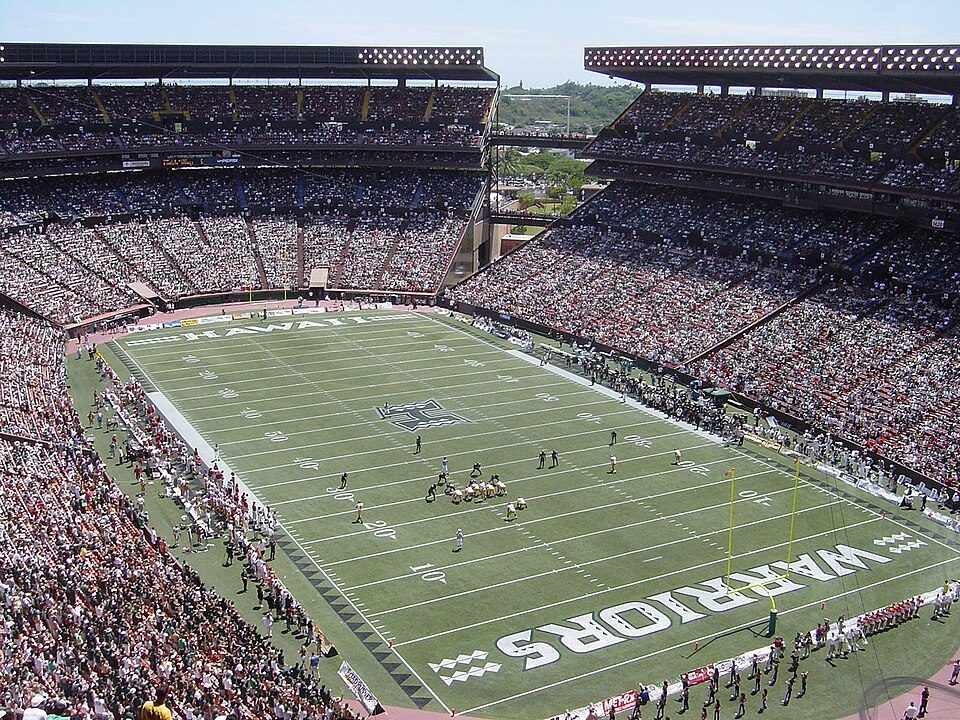 320 mi Stadium & arenaAloha Stadium
 30 mi MountainDiamond Head
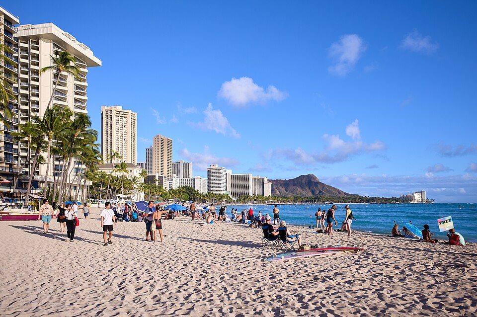 429 mi BeachWaikīkī
 58 mi MuseumPolynesian Cultural Center
 626 mi LandmarkNational Memorial Cemetery of the Pacific
 720 mi MuseumUSS Bowfin
Photo credits
USS Missouri: Camera Operator: EM2 KENNETH D. MEHL (Released to Public), Public domain · USS Arizona Memorial: DoD photo by: PH3(AW/SW) JAYME PASTORIC, USN, Public domain · Aloha Stadium: This photo was taken and originally uploaded by Bobak to English Wikipedia. Uplo, CC BY 3.0 · Diamond Head: Unknown, CC BY-SA 3.0 · Waikīkī: Frank Schulenburg, CC BY-SA 4.0 · Polynesian Cultural Center: Gh5046 at en.wikipedia, Public domain · National Memorial Cemetery of the Pacific: Cleared as filed at English Wikipedia, CC BY-SA 3.0 · USS Bowfin: Max Smith, Public domain


Questions people have about Waimea Valley
What town is Waimea Valley near?
Pupukea, HI, about 1 miles north.
When is the best time to visit Waimea Valley?
January, February, March, April, May, November and December, with highs of 78–83°.
What is the closest airport to Waimea Valley?
Daniel K. Inouye (HNL), about 23 miles away.
Where should I stay near Waimea Valley?
Urban Honolulu (25 mi, 183 places to stay), Pupukea (1 mi, 5 places to stay) and Kawela Bay (6 mi, 6 places to stay).
Ask people in Pupukea
Start the conversation in Pupukea’s Town Square.
Sources: National Park Service · ski areas © OpenSkiMap / OpenStreetMap contributors · Wikidata · Wikipedia readership · NOAA climate normals · U.S. Census.