Tupelo National Battlefield
Tupelo National Battlefield commemorates the Battle of Tupelo, also known as the Battle of Harrisburg, fought from July 14 to 15, 1864, near Tupelo, Mississippi during the American Civil War. This is a site of the National Park Service. The first to add nearby is Natchez Trace Parkway, at 5.3 mi.

A national battlefield inside Tupelo
You can stay in Tupelo
Tupelo National Battlefield is inside Tupelo, which has 49 places to stay, so you won’t need a base farther out. Where to stay ↓
A day trip from Memphis
Memphis is about 90 miles northwest (straight-line). Where to stay ↓
Best months: Mar, Apr, May, Oct and Nov
March, April, May, October and November are the mild months, with highs of 64–82°. When to go ↓
An airport 5 miles away
Tupelo Regional (TUP) has airline service, about 5 miles from Tupelo National Battlefield.
Written from NOAA 1991–2020 normals, Overture places to stay, Census town figures, Wikidata and Wikipedia.
A month-by-month look
Each month’s highs and lows around Tupelo are below.
Tupelo National Battlefield
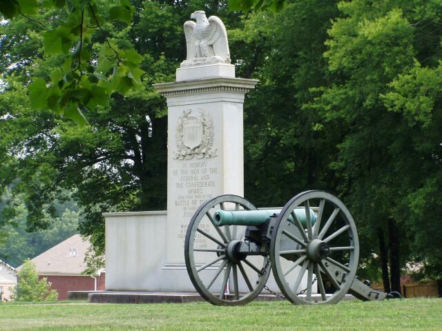
Tupelo National Battlefield commemorates the Battle of Tupelo, also known as the Battle of Harrisburg, fought from July 14 to 15, 1864, near Tupelo, Mississippi during the American Civil War. The Union victory over Confederate forces in northeast Mississippi ensured the safety of Sherman's supply lines during the Atlanta campaign.
The 1-acre site on Main Street in Tupelo is a grassy park with a flagpole, memorial monument, and two cannons. There are no visitor services; information is provided at the visitor center for the Natchez Trace Parkway six miles north. The monument and site are very similar to that at Brices Cross Roads National Battlefield Site.
- Type
- National Battlefield
- Opened
- 1929
- Elevation
- 322 ft
- Run by
- National Park Service
- Listed
- National Register of Historic Places (1966)
- Wikipedia readers
- 1.8K a year
- Official site
- nps.gov/tupe
Before you go
Bases for Tupelo National Battlefield
Close by, places to stay are in Tupelo (49) and Fulton (8).
- 1Natchez Trace Parkway
- 2Elvis Presley Birthplace
- 3Tupelo Automobile Museum
- 4Brices Cross Roads National Battlefield Site
Fulton
4,640 people
18 mi east of Natchez Trace Parkway Visitor Center · 19 mi to the park
New Albany
7,756 people
21 mi northwest of Natchez Trace Parkway Visitor Center · 23 mi to the park
Compare 8 towns
| Town | From the visitor center | Drive | Places to stay | People | Typical home | Safety |
|---|---|---|---|---|---|---|
| Tupelo | in town | — | 49 36 hotels · 6 motels · 1 inn or B&B · 4 lodges & cabins · 2 campgrounds | 38,087 | $213K | D |
| Fulton | 18 mi east | 25 min | 8 3 hotels · 1 motel · 1 inn or B&B · 1 lodge or cabins · 2 campgrounds | 4,640 | $159K | B− |
| Sherman | 8 mi west | 10 min | 2 1 lodge or cabins · 1 RV park | 680 | $159K | — |
| New Albany | 21 mi northwest | 30 min | 10 5 hotels · 4 motels · 1 inn or B&B | 7,756 | $161K | B |
| Pontotoc | 18 mi west | 25 min | 3 1 hotel · 1 inn or B&B · 1 campground | 6,156 | $156K | C |
| Amory | 27 mi southeast | 40 min | 7 4 hotels · 1 inn or B&B · 1 hostel · 1 campground | 6,386 | $162K | D |
| Booneville | 25 mi north | 35 min | 5 1 hotel · 2 motels · 1 inn or B&B · 1 campground | 9,257 | $137K | D |
| Okolona | 23 mi south | 35 min | 1 1 motel | 2,394 | $92K | — |
Getting there
Nearest airports with airline service, from the visitor center
Places to add to Tupelo
These lie within 67 miles as the crow flies.
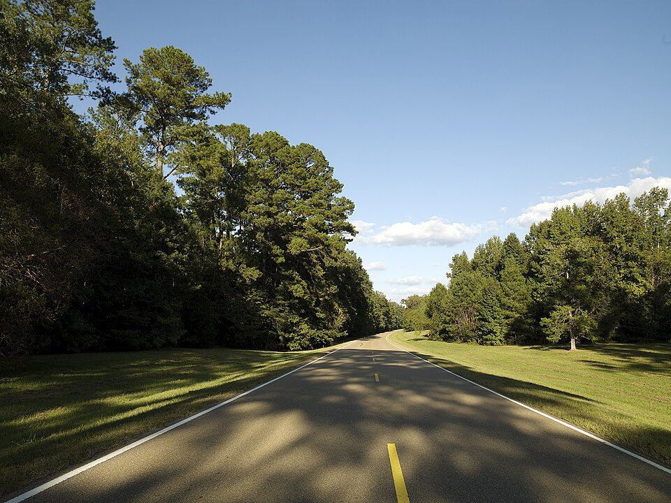 15 mi ParkwayNatchez Trace Parkway8.0M visitors a year
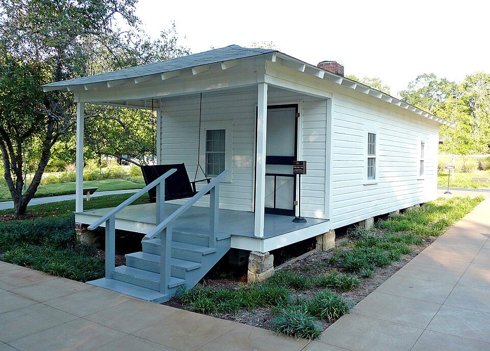 23 mi MuseumElvis Presley Birthplace
 46 mi Stadium & arenaVaught–Hemingway Stadium
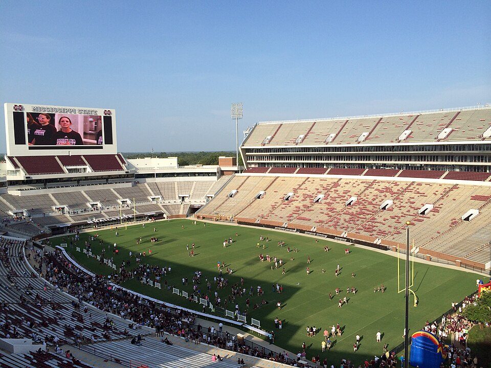 55 mi Stadium & arenaDavis Wade Stadium
 54 mi MuseumGraceland Too
 66 mi National Military ParkShiloh National Military Park347K visitors a year
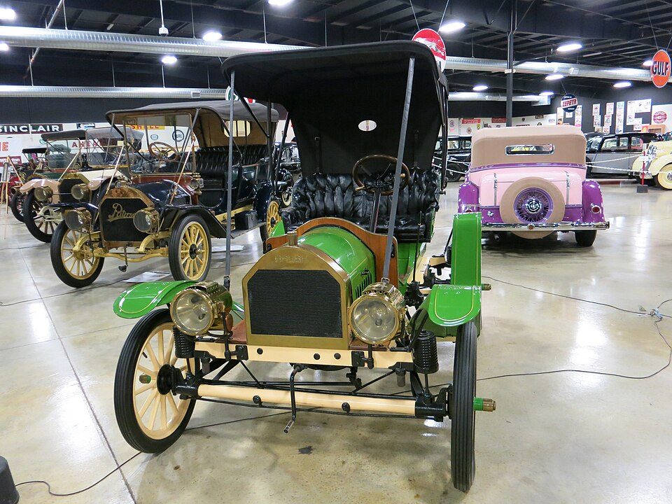 32 mi MuseumTupelo Automobile Museum
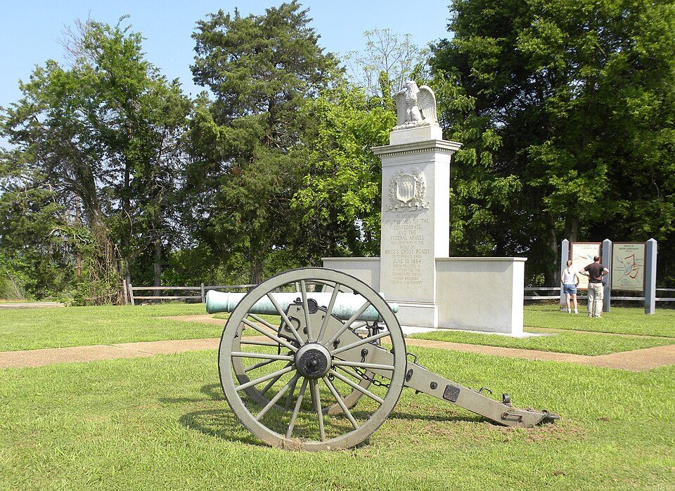 417 mi National park siteBrices Cross Roads National Battlefield Site2K visitors a year
Photo credits
Natchez Trace Parkway: Carol M. Highsmith (1946–), Public domain · Elvis Presley Birthplace: Markuskun at English Wikipedia, Public domain · Vaught–Hemingway Stadium: Matthew Nichols, CC BY 2.0 · Davis Wade Stadium: Nateb2003, CC BY-SA 3.0 · Graceland Too: Thomas R Machnitzki ([email protected]), CC BY 3.0 · Shiloh National Military Park: Ernest Mettendorf, Public domain · Tupelo Automobile Museum: James Case from Philadelphia, Mississippi, U.S.A., CC BY 2.0 · Brices Cross Roads National Battlefield Site: Wilson44691, Public domain


Asked about Tupelo
Is Tupelo National Battlefield in Tupelo?
Yes. It’s inside Tupelo, MS. The address is 2083 Main St, Tupelo, MS 38801.
When is the best time to visit Tupelo National Battlefield?
March, April, May, October and November, with highs of 64–82°.
How many people visit Tupelo National Battlefield each year?
686 in 1980, according to the National Park Service.
How far is Tupelo National Battlefield from Memphis?
About 90 miles northwest of Memphis, as the crow flies.
What is the closest airport to Tupelo National Battlefield?
Tupelo Regional (TUP), about 5 miles away. The nearest big hub is Frederick W. Smith (MEM), about 87 miles.
Where should I stay near Tupelo National Battlefield?
Tupelo (in town, 49 places to stay), Fulton (18 mi, 8 places to stay) and New Albany (21 mi, 10 places to stay).
Locals’ advice in Tupelo
People in Tupelo have not posted tips yet; their Town Square is open.
Sources: National Park Service · ski areas © OpenSkiMap / OpenStreetMap contributors · Wikidata · Wikipedia readership · NOAA climate normals · U.S. Census.