
Sleep Train Pavilion
Toyota Pavilion at Concord (formerly known as Concord Pavilion) is an amphitheatre located in Concord, California.

A theatre inside Concord
You can stay in Concord
Sleep Train Pavilion is inside Concord, which has 18 places to stay, so you won’t need a base farther out. Where to stay ↓
A day trip from San Jose
San Jose is about 46 miles south (straight-line). Where to stay ↓
Best months: Mar, Apr, May, Jun, Oct and Nov
March, April, May, June, October and November are the mild months, with highs of 65–84°. When to go ↓
An airport 6 miles away
Buchanan Field (CCR) has airline service, about 6 miles from Sleep Train Pavilion.
Established in 1975
Sleep Train Pavilion dates from 1975 and is run by Live Nation Entertainment. About ↓
Written from NOAA 1991–2020 normals, Overture places to stay, Census town figures, Wikidata and Wikipedia.
Weather, month by month
Typical highs and lows in Concord. Green months are the mild ones.
Sleep Train Pavilion
Toyota Pavilion at Concord (formerly known as Concord Pavilion) is an amphitheatre located in Concord, California. It is owned by the City of Concord and operated by Live Nation. The Pavilion has a capacity of 12,500 people and opened in 1975 as the Concord Pavilion. It is used for concerts, local community events (including an annual jazz festival) and local high school graduations.
- Type
- Theatre
- Established
- 1975
- Run by
- Live Nation Entertainment
- Wikipedia readers
- 4K a year
Where to stay near Sleep Train Pavilion
The closest towns with hotels, motels or campgrounds are Concord (18) and San Francisco (528).
Compare 8 towns
| Town | From Sleep Train Pavilion | Drive | Places to stay | People | Typical home | Safety |
|---|---|---|---|---|---|---|
| Concord | in town | — | 18 11 hotels · 4 motels · 1 inn or B&B · 1 lodge or cabins · 1 RV park | 123,261 | $798K | D |
| San Francisco | 29 mi southwest | 45 min | 528 426 hotels · 24 motels · 37 inns & B&Bs · 5 lodges & cabins · 27 hostels · 6 campgrounds · 3 RV parks | 826,079 | $1,395K | D |
| Oakland | 20 mi southwest | 30 min | 89 56 hotels · 22 motels · 7 inns & B&Bs · 1 lodge or cabins · 1 hostel · 2 campgrounds | 440,838 | $930K | D− |
| Walnut Creek | 7 mi southwest | 10 min | 11 9 hotels · 1 motel · 1 campground | 70,012 | $1,057K | C− |
| Pleasant Hill | 7 mi west | 10 min | 8 7 hotels · 1 inn or B&B | 34,017 | $1,077K | D |
| Pittsburg | 5 mi northeast | 5 min | 6 5 hotels · 1 lodge or cabins | 77,542 | $598K | C− |
| Vallejo | 20 mi northwest | 30 min | 36 24 hotels · 7 motels · 2 inns & B&Bs · 1 lodge or cabins · 1 campground · 1 RV park | 123,287 | $590K | D− |
| Antioch | 8 mi east | 10 min | 7 3 hotels · 3 motels · 1 lodge or cabins | 118,958 | $630K | D |
Day trip from
Straight-line miles.
Getting there
Nearest airports with airline service
Also near Sleep Train Pavilion
Other well-known places within 39 miles. Numbered ones are on the map above.
 Big draw128 mi MuseumAlcatraz Federal Penitentiary
 Big draw223 mi MuseumUSS Hornet
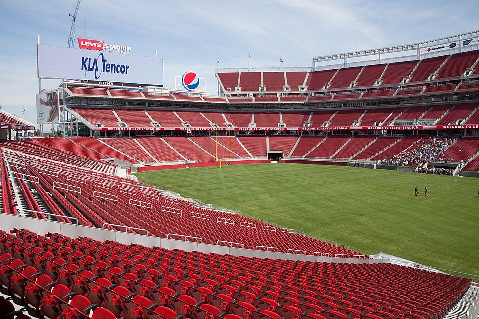 Big draw38 mi Stadium & arenaLevi's Stadium
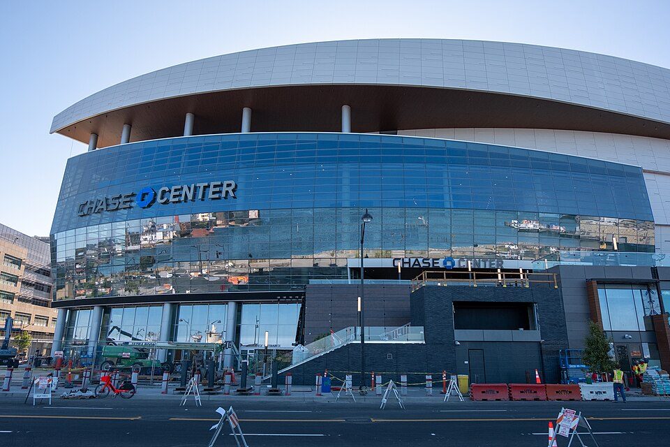 Big draw327 mi Stadium & arenaChase Center
 46 mi MountainMount Diablo
 Big draw528 mi LandmarkLombard Street
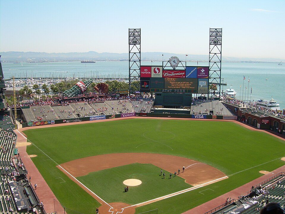 Big draw627 mi Stadium & arenaOracle Park
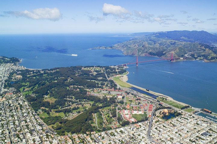 Big draw30 mi GardenPresidio of San Francisco
Photo credits
Alcatraz Federal Penitentiary: druchoy, CC BY-SA 2.0 · USS Hornet: kitmasterbloke, CC BY 2.0 · Levi's Stadium: Matthew Roth, CC BY-SA 2.0 · Chase Center: Gregory Varnum, CC BY-SA 4.0 · Mount Diablo: Trurl66, Public domain · Lombard Street: The original uploader was Y6y6y6 at English Wikipedia., Public domain · Oracle Park: User Coasttocoast on en.wikipedia, CC BY-SA 3.0 · Presidio of San Francisco: Robert Campbell, CC BY-SA 3.0


Visiting Sleep Train Pavilion
Is Sleep Train Pavilion in Concord?
Yes. It’s inside Concord, CA.
When is the best time to visit Sleep Train Pavilion?
March, April, May, June, October and November, with highs of 65–84°.
How far is Sleep Train Pavilion from Stockton and San Jose?
About 35 miles east of Stockton and about 46 miles south of San Jose, as the crow flies.
What is the closest airport to Sleep Train Pavilion?
Buchanan Field (CCR), about 6 miles away. The nearest big hub is Oakland San Francisco Bay (OAK), about 22 miles.
Where should I stay near Sleep Train Pavilion?
San Francisco (29 mi, 528 places to stay), Concord (in town, 18 places to stay) and Oakland (20 mi, 89 places to stay).
Tips from people in Concord
No tips yet. Ask, or answer, in Concord’s Town Square.
Sources: National Park Service · ski areas © OpenSkiMap / OpenStreetMap contributors · Wikidata · Wikipedia readership · NOAA climate normals · U.S. Census.