
Shiprock
Shiprock (Navajo: Tsé Bitʼaʼí, "rock with wings" or "winged rock") is a monadnock rising nearly 1,583 feet (482 m) above the high-desert plain of the Navajo Nation in San Juan County, New Mexico, United States.

A mountain, 26 mi west of Kirtland
Plan where you’ll sleep
The nearest town with many places to stay is Farmington, 37 miles east. Where to stay ↓
One of the most looked-up attractions in the U.S.
About 70K people a year read its Wikipedia article, more than for 95% of the 7,799 attractions we track.
Summers are hot
July highs run 93–93°, and about 62 days a year reach 90°. When to go ↓
Winters are cold
January nights drop to 19°. When to go ↓
Best months: May and Sep
May and September are the mild months, with highs of 78–83°. When to go ↓
Written from NOAA 1991–2020 normals, Overture places to stay, Census town figures, Wikidata and Wikipedia.
Weather, month by month
Typical highs and lows in Kirtland. Green months are the mild ones.
Shiprock
Shiprock (Navajo: Tsé Bitʼaʼí, "rock with wings" or "winged rock") is a monadnock rising nearly 1,583 feet (482 m) above the high-desert plain of the Navajo Nation in San Juan County, New Mexico, United States. Its peak elevation is 7,177 feet (2,188 m) above sea level. It is 10.75 miles (17.30 km) southwest of the town of Shiprock, which is named for the peak.
Governed by the Navajo Nation, the formation is in the Four Corners region and plays a significant role in Navajo religion, myth, and tradition. Shiprock is a point of interest for rock climbers and photographers and has been featured in several film productions and novels. It is the most prominent landmark in northwestern New Mexico. In 1975, Shiprock was designated a National Natural Landmark by the National Park Service.
- Type
- Mountain
- Elevation
- 7,106 ft
- Listed
- National Natural Landmark (1975)
- Wikipedia readers
- 70K a year
Where to stay near Shiprock
The closest towns with hotels, motels or campgrounds are Farmington (37) and Kirtland (4).
Compare 3 towns
| Town | From Shiprock | Drive | Places to stay | People | Typical home | Safety |
|---|---|---|---|---|---|---|
| Farmington | 37 mi east | 55 min | 37 28 hotels · 6 motels · 1 inn or B&B · 1 campground · 1 RV park | 46,055 | $233K | D |
| Kirtland | 26 mi east | 40 min | 4 1 campground · 3 RV parks | 572 | $291K | — |
| Towaoc | 37 mi north | 1 hr | 1 1 RV park | 1,078 | $426K | — |
Getting there
Nearest airports with airline service
Also near Shiprock
Other well-known places within 67 miles. Numbered ones are on the map above.
 Big draw44 mi National ParkMesa Verde National Park463K visitors a year
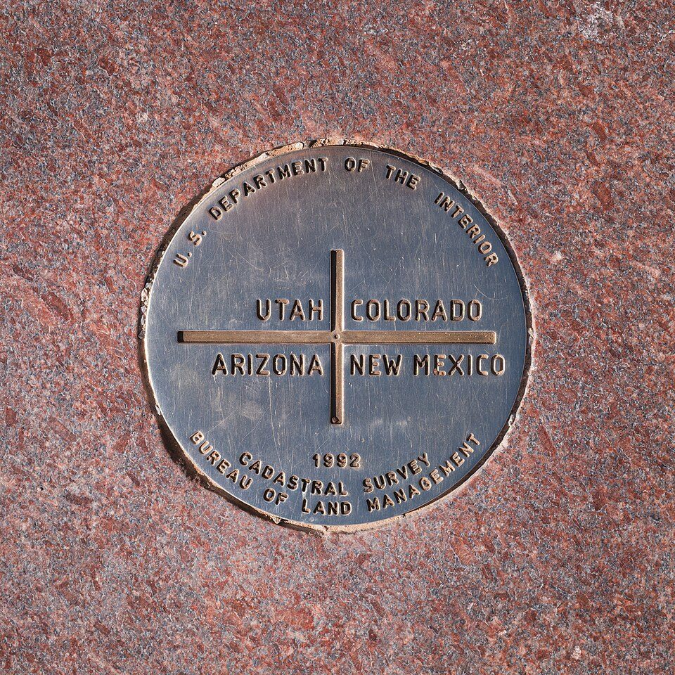 124 mi LandmarkFour Corners Monument
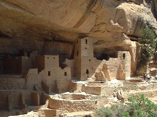
 39 mi Ancient siteCliff Palace
 65 mi National Historical ParkChaco Culture National Historical Park30K visitors a year
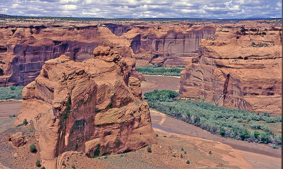 52 mi National MonumentCanyon de Chelly National Monument341K visitors a year
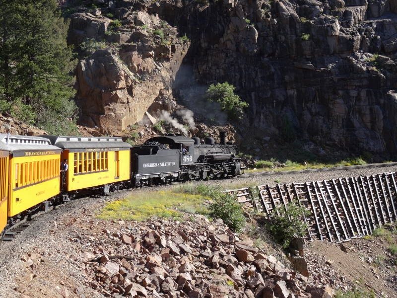 66 mi Scenic railwayDurango and Silverton Narrow Gauge Railroad
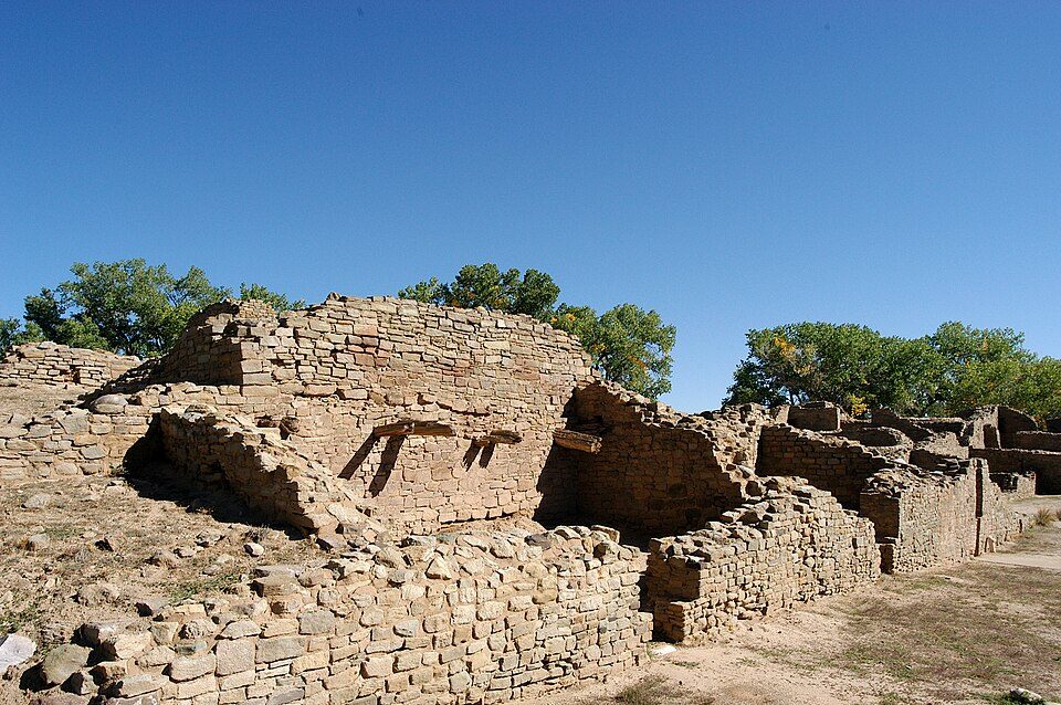 47 mi National MonumentAztec Ruins National Monument39K visitors a year
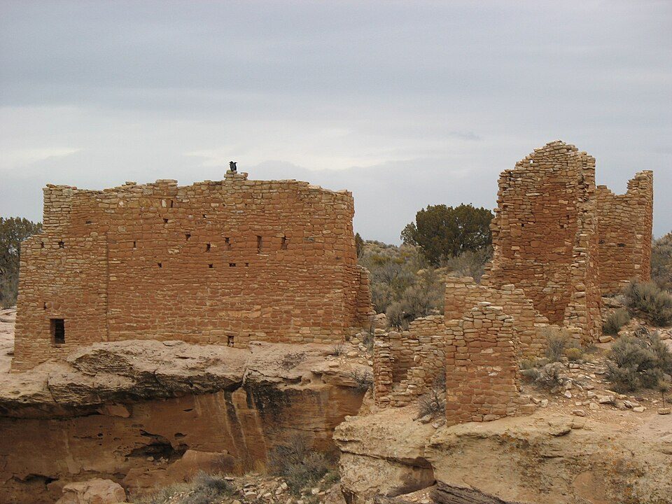 50 mi National MonumentHovenweep National Monument27K visitors a year
Photo credits
Mesa Verde National Park: Elaine from Sheffield, England, CC BY 2.0 · Four Corners Monument: Christian David, CC BY-SA 4.0 · Cliff Palace: W. Bulach, CC BY-SA 4.0 · Chaco Culture National Historical Park: National Park Service (United States), Public domain · Canyon de Chelly National Monument: W. Bulach, CC BY-SA 4.0 · Durango and Silverton Narrow Gauge Railroad: pixelFire, CC BY-SA 3.0 · Aztec Ruins National Monument: G. Edward Johnson, CC BY-SA 3.0 · Hovenweep National Monument: teofilo, CC BY 2.0


Visiting Shiprock
What town is Shiprock near?
Kirtland, NM, about 26 miles east.
When is the best time to visit Shiprock?
May and September, with highs of 78–83°.
What is the closest airport to Shiprock?
Cortez Municipal (CEZ), about 44 miles away. The nearest big hub is Albuquerque International Sunport (ABQ), about 169 miles.
Where should I stay near Shiprock?
Farmington (37 mi, 37 places to stay) and Kirtland (26 mi, 4 places to stay).
Tips from people in Kirtland
No tips yet. Ask, or answer, in Kirtland’s Town Square.
Sources: National Park Service · ski areas © OpenSkiMap / OpenStreetMap contributors · Wikidata · Wikipedia readership · NOAA climate normals · U.S. Census.