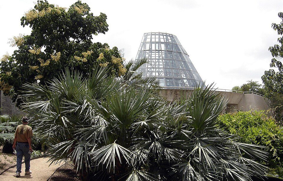
San Antonio Botanical Garden
The San Antonio Botanical Garden is a 41-acre (17 ha), non-profit botanical garden in San Antonio, Texas, United States, and the city's official botanical garden. Top of the list nearby is Alamodome, 3.1 mi away. Expect 64–83°F afternoons in the mildest months, January, February, March, April, October, November and December.

A garden inside San Antonio
Summers are hot
July and August highs run 95–97°, and about 112 days a year reach 90°. When to go ↓
You can stay in San Antonio
San Antonio Botanical Garden is inside San Antonio, which has 584 places to stay, so you won’t need a base farther out. Where to stay ↓
A day trip from Austin
Austin is about 72 miles northeast (straight-line). Where to stay ↓
Best months: Jan, Feb, Mar, Apr, Oct, Nov and Dec
January, February, March, April, October, November and December are the mild months, with highs of 64–83°. When to go ↓
An airport 5 miles away
San Antonio (SAT) has airline service, about 5 miles from San Antonio Botanical Garden.
Written from NOAA 1991–2020 normals, Overture places to stay, Census town figures and Wikipedia.
The weather by month
Here is how the weather at San Antonio Botanical Garden changes month by month.
San Antonio Botanical Garden
The San Antonio Botanical Garden is a 41-acre (17 ha), non-profit botanical garden in San Antonio, Texas, United States, and the city's official botanical garden. The garden is situated on one of the highest points within San Antonio city limits, sitting at around 798 ft (243.2 m)
- Type
- Garden
- Opened
- 1980
- Area
- 41 acres
- Wikipedia readers
- 4K a year
Rooms near San Antonio Botanical Garden
Rooms are nearest in San Antonio (584) and New Braunfels (82).
- 1Alamodome
- 2Alamo Mission
- 3Frost Bank Center
- 4Tower of the Americas
- 5Six Flags Fiesta Texas
- 6SeaWorld San Antonio
- 7San Antonio Zoo
Compare 8 towns
| Town | From San Antonio Botanical Garden | Drive | Places to stay | People | Typical home | Safety |
|---|---|---|---|---|---|---|
| San Antonio | in town | — | 584 446 hotels · 89 motels · 19 inns & B&Bs · 9 lodges & cabins · 1 hostel · 7 campgrounds · 13 RV parks | 1,548,422 | $236K | D− |
| New Braunfels | 27 mi northeast | 40 min | 82 57 hotels · 2 motels · 10 inns & B&Bs · 5 lodges & cabins · 3 campgrounds · 5 RV parks | 122,492 | $339K | B− |
| Balcones Heights | 6 mi west | 10 min | 5 4 hotels · 1 motel | 2,728 | $200K | D− |
| Schertz | 14 mi northeast | 20 min | 13 8 hotels · 1 lodge or cabins · 2 campgrounds · 2 RV parks | 45,978 | $317K | B |
| Live Oak | 10 mi northeast | 15 min | 6 6 hotels | 16,426 | $246K | D |
| Windcrest | 6 mi northeast | 10 min | 3 2 hotels · 1 RV park | 5,809 | $302K | D− |
| Selma | 12 mi northeast | 20 min | 6 6 hotels | 11,955 | $314K | C |
| Lackland AFB | 11 mi southwest | 15 min | 4 2 hotels · 1 lodge or cabins · 1 campground | 6,785 | — | — |
Getting there
Nearest airports with airline service
Worth adding to a visit
These well-known places are within 45 miles.
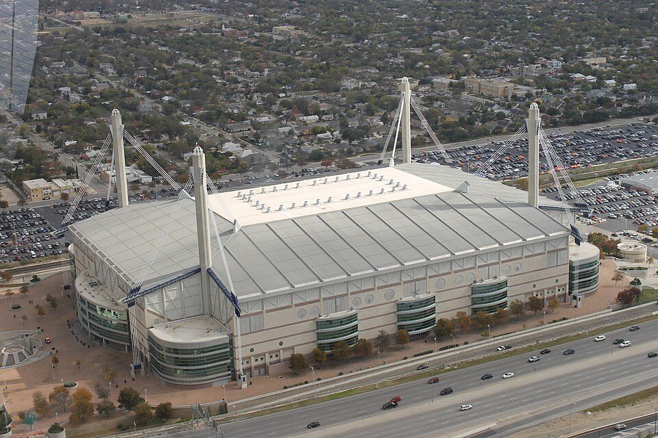 Big draw13 mi Stadium & arenaAlamodome
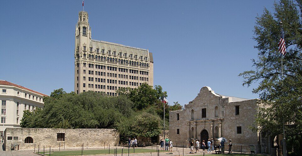 23 mi LandmarkAlamo Mission
 33 mi Stadium & arenaFrost Bank Center
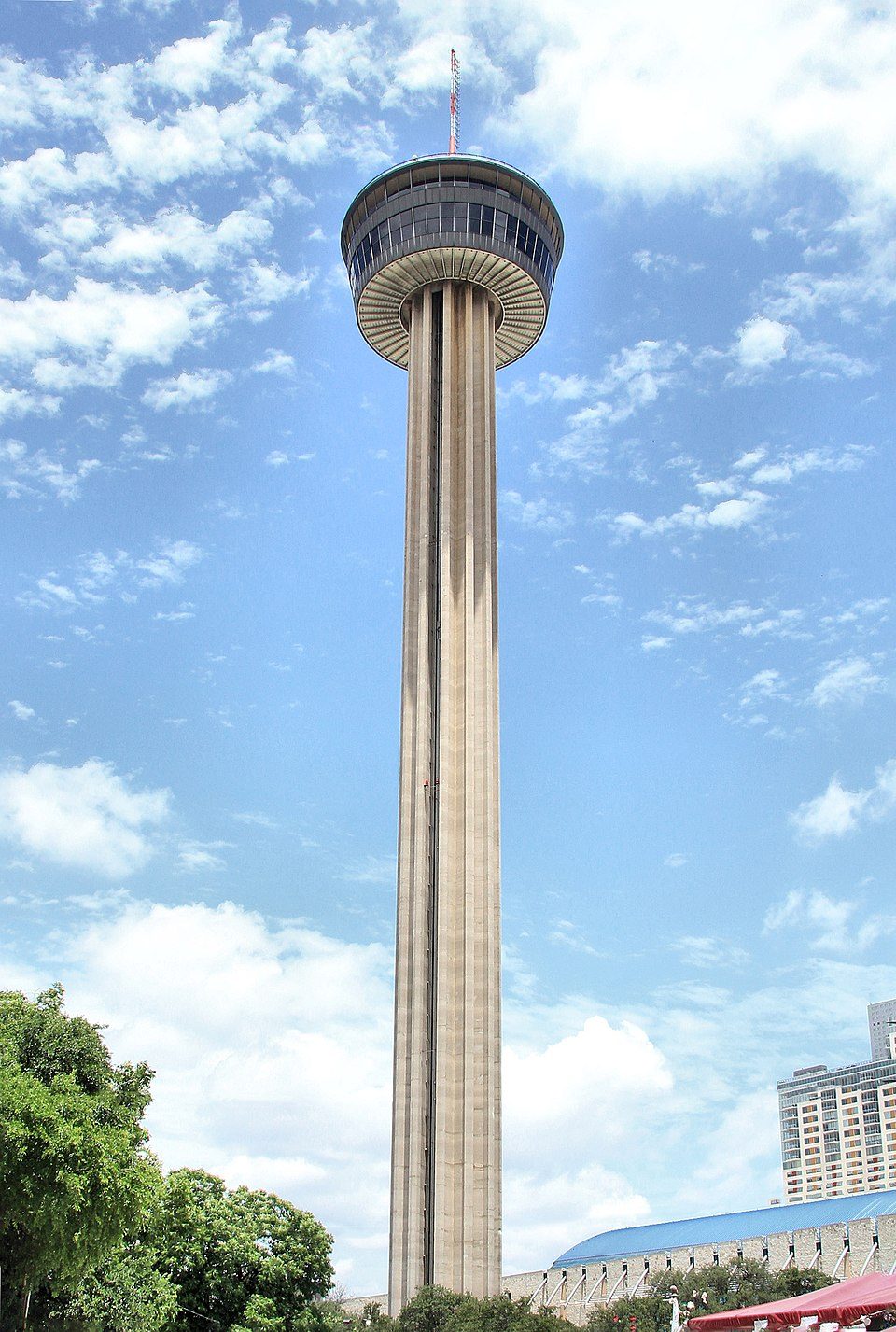 43 mi LookoutTower of the Americas
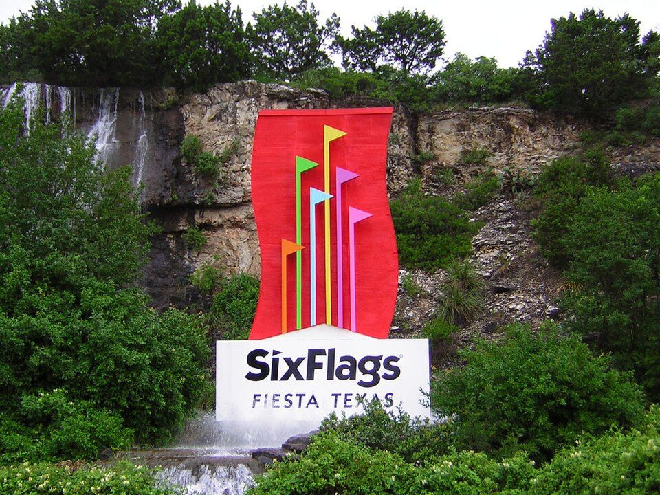 513 mi Theme parkSix Flags Fiesta Texas
 44 mi CaveJacob's Well (Texas)
 615 mi Theme parkSeaWorld San Antonio
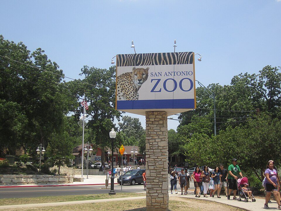 7in town Zoo & aquariumSan Antonio Zoo
Photo credits
Alamodome: Billy Hathorn, CC BY 3.0 · Alamo Mission: Zygmunt Put Zetpe0202, CC BY-SA 4.0 · Frost Bank Center: Atristan 77, CC BY-SA 3.0 · Tower of the Americas: Larry D. Moore, CC BY 4.0 · Six Flags Fiesta Texas: Chris Hagerman, CC BY-SA 3.0 · Jacob's Well (Texas): Larry D. Moore, CC BY 4.0 · SeaWorld San Antonio: TheConduqtor, CC BY-SA 3.0 · San Antonio Zoo: Billy Hathorn, CC BY-SA 3.0


Your questions on San Antonio Botanical Garden
Is San Antonio Botanical Garden in San Antonio?
Yes. It’s inside San Antonio, TX.
When is the best time to visit San Antonio Botanical Garden?
January, February, March, April, October, November and December, with highs of 64–83°.
How far is San Antonio Botanical Garden from Austin?
About 72 miles northeast of Austin, as the crow flies.
What is the closest airport to San Antonio Botanical Garden?
San Antonio (SAT), about 5 miles away.
Where should I stay near San Antonio Botanical Garden?
San Antonio (in town, 584 places to stay), New Braunfels (27 mi, 82 places to stay) and Balcones Heights (6 mi, 5 places to stay).
Local know-how from San Antonio
Questions and tips go in San Antonio’s Town Square.
Sources: National Park Service · ski areas © OpenSkiMap / OpenStreetMap contributors · Wikidata · Wikipedia readership · NOAA climate normals · U.S. Census.