
Rock Eagle Effigy Mound
Rock Eagle Effigy Mound is an archaeological site in Putnam County, Georgia, US, estimated to have been constructed c. 1000 BC to AD 1000 (1,000 to 3,000 years ago). On the map, it sits 6 mi north of Eatonton. Add Lake Oconee, 14 mi away, to a visit.

An ancient site, 6 mi north of Eatonton
Summers are hot
July and August highs run 90–92°, and about 78 days a year reach 90°. When to go ↓
Madison is the nearest base
Madison is 12 miles northwest, with 19 places to stay. Where to stay ↓
A day trip from Atlanta
Atlanta is about 64 miles west (straight-line). Where to stay ↓
Best months: Mar, Apr, May, Oct and Nov
March, April, May, October and November are the mild months, with highs of 67–83°. When to go ↓
Written from NOAA 1991–2020 normals, Overture places to stay, Census town figures, Wikidata and Wikipedia.
Weather, month by month
Here are the months at Rock Eagle Effigy Mound, with their weather.
Rock Eagle Effigy Mound
Rock Eagle Effigy Mound is an archaeological site in Putnam County, Georgia, US, estimated to have been constructed c. 1000 BC to AD 1000 (1,000 to 3,000 years ago). The earthwork was built up of thousands of pieces of quartzite laid in the mounded shape of a large bird (102 ft long from head to tail, and 120 ft wide from wing tip to wing tip). Although it is most often referred to as an eagle, scholars do not know exactly what type of bird the original builders intended to portray. It is listed on the National Register of Historic Places (NRHP) because of its significance. The University of Georgia administers the site. It uses much of the adjoining land for a 4-H camp, with cottages and other buildings, and day and residential environmental education.
- Type
- Ancient site
- Listed
- National Register of Historic Places (1978)
- Wikipedia readers
- 8.4K a year
Where to base yourself for Rock Eagle Effigy Mound
Places to stay start in Madison (19) and Eatonton (3).
Madison
The closest town with somewhere to stay.
5,179 people
12 mi northwest of Rock Eagle Effigy Mound
Compare 8 towns
| Town | From Rock Eagle Effigy Mound | Drive | Places to stay | People | Typical home | Safety |
|---|---|---|---|---|---|---|
| Madison | 12 mi northwest | 20 min | 19 14 hotels · 1 motel · 4 inns & B&Bs | 5,179 | $347K | — |
| Eatonton | 6 mi south | 10 min | 3 1 hotel · 1 motel · 1 inn or B&B | 6,749 | $167K | C+ |
| Milledgeville | 24 mi south | 35 min | 20 14 hotels · 2 motels · 3 inns & B&Bs · 1 lodge or cabins | 16,835 | $193K | D |
| Greensboro | 15 mi northeast | 25 min | 6 4 hotels · 1 motel · 1 inn or B&B | 3,519 | $194K | C+ |
| Covington | 29 mi northwest | 45 min | 23 20 hotels · 2 inns & B&Bs · 1 lodge or cabins | 17,477 | $302K | D |
| Crooked Creek 21% vacation homes | 12 mi southeast | 20 min | 2 2 lodges & cabins | 798 | $238K | — |
| Buckhead | 11 mi north | 15 min | 1 1 inn or B&B | 205 | $228K | — |
| Monticello | 19 mi southwest | 30 min | 2 1 hotel · 1 inn or B&B | 3,040 | $168K | — |
Getting there
Nearest airports with airline service
Nearby, too
You can reach each of these within 66 miles.
 Big draw63 mi Stadium & arenaMercedes-Benz Stadium
 Big draw51 mi MountainStone Mountain
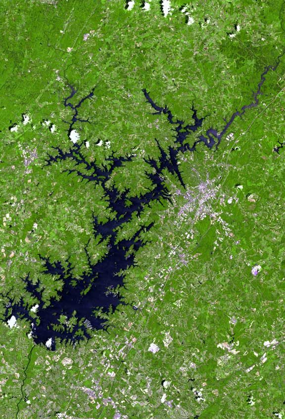 Big draw65 mi LakeLake Lanier
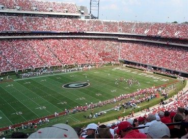 37 mi Stadium & arenaSanford Stadium
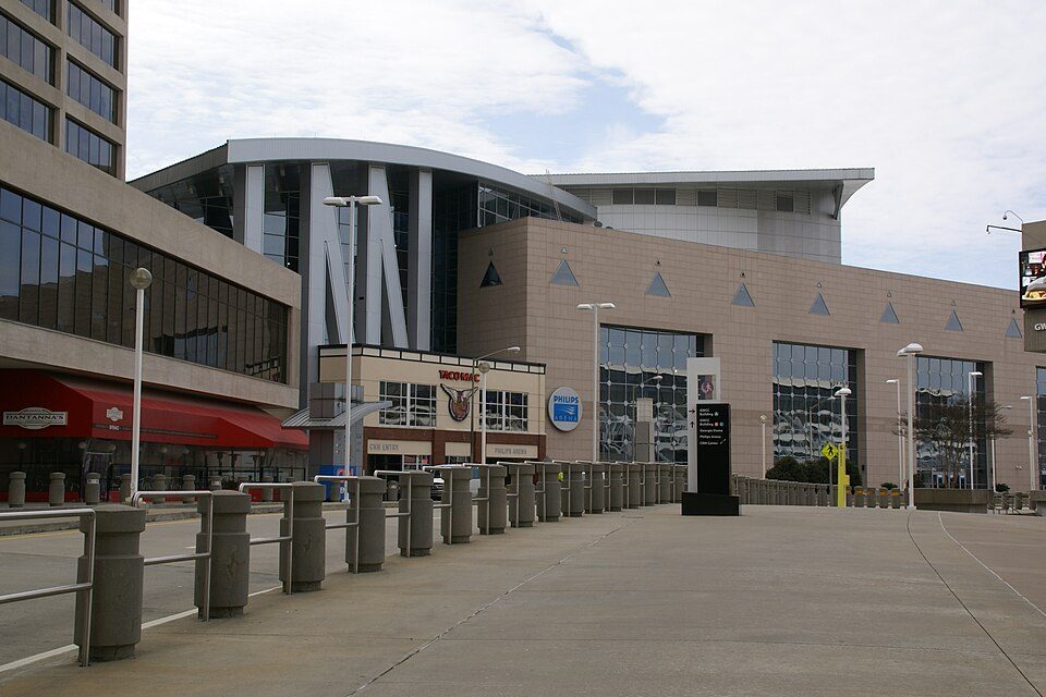 Big draw63 mi Stadium & arenaState Farm Arena
 63 mi Zoo & aquariumGeorgia Aquarium
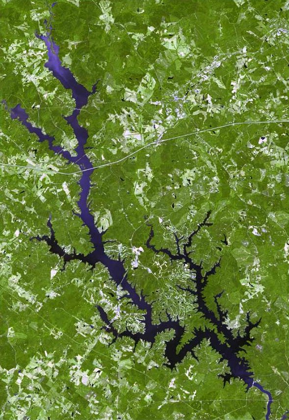 114 mi LakeLake Oconee
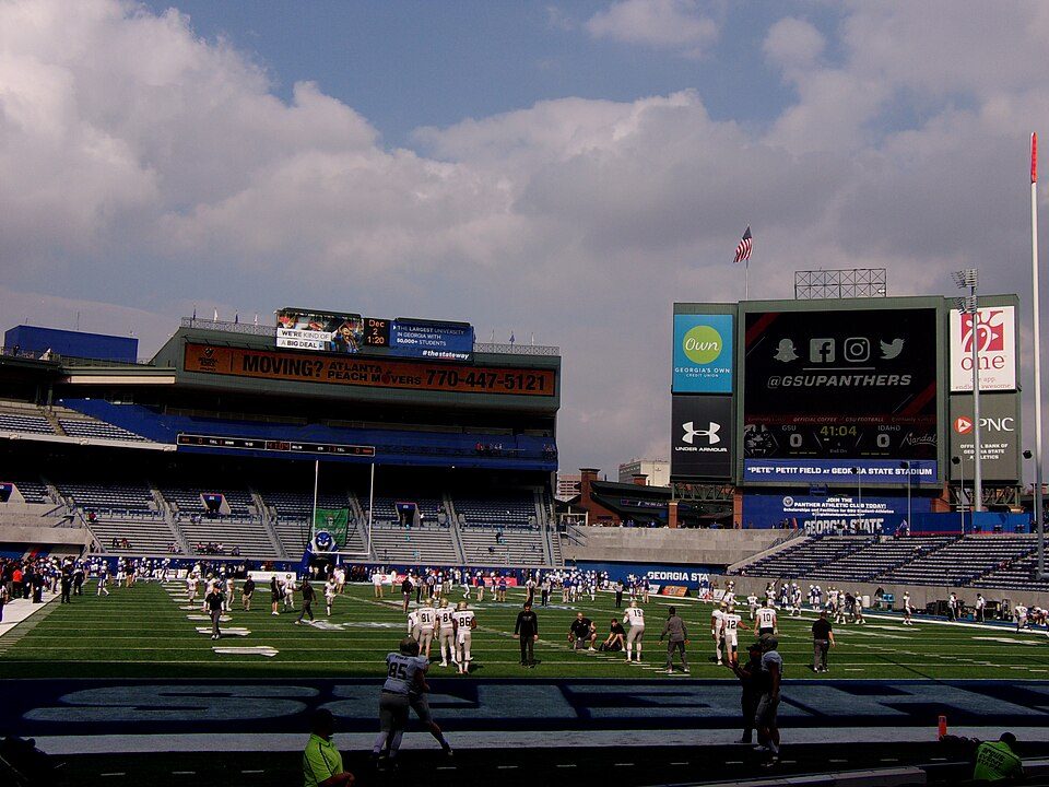 62 mi Stadium & arenaCenter Parc Stadium
Photo credits
Mercedes-Benz Stadium: Atlanta Falcons, CC BY 3.0 · Stone Mountain: KyleAndMelissa22, Public domain · Lake Lanier: http://www.terraprints.com, CC BY 2.5 · Sanford Stadium: The original uploader was Clio64 at French Wikipedia., CC BY-SA 3.0 · State Farm Arena: Hermann Luyken, CC0 · Georgia Aquarium: Diliff, CC BY 2.5 · Lake Oconee: http://www.terraprints.com, CC BY 2.5 · Center Parc Stadium: Southernkeith, CC BY-SA 4.0


Questions before you go
What town is Rock Eagle Effigy Mound near?
Eatonton, GA, about 6 miles south.
When is the best time to visit Rock Eagle Effigy Mound?
March, April, May, October and November, with highs of 67–83°.
How far is Rock Eagle Effigy Mound from Atlanta?
About 64 miles west of Atlanta, as the crow flies.
What is the closest airport to Rock Eagle Effigy Mound?
Middle Georgia Regional (MCN), about 52 miles away. The nearest big hub is Hartsfield Jackson Atlanta (ATL), about 62 miles.
Where should I stay near Rock Eagle Effigy Mound?
Madison (12 mi, 19 places to stay), Eatonton (6 mi, 3 places to stay) and Milledgeville (24 mi, 20 places to stay).
Eatonton has the answers
Be the first to share a tip in Eatonton’s Town Square.
Sources: National Park Service · ski areas © OpenSkiMap / OpenStreetMap contributors · Wikidata · Wikipedia readership · NOAA climate normals · U.S. Census.