
Nanih Waiya
Nanih Waiya (alternately spelled Nunih Waya; Choctaw: Nʋnih Waya transl. 'slanting mound') is an ancient platform mound in southern Winston County, Mississippi, constructed by Indigenous people during the Middle Woodland period, about 300 to 600 CE. On the map, it sits 8 mi southeast of Noxapater. Its story as a place to visit starts in 300.

A state park, 8 mi southeast of Noxapater
Philadelphia is the nearest base
Philadelphia is 14 miles southwest, with 9 places to stay. Where to stay ↓
Established in 300
Nanih Waiya dates from 300. About ↓
Best months: Mar, Apr, May, Oct and Nov
March, April, May, October and November are the mild months, with highs of 65–82°. When to go ↓
Written from NOAA 1991–2020 normals, Overture places to stay, Census town figures, Wikidata and Wikipedia.
Warm months and cold ones
The months below show the weather around Nanih Waiya.
Nanih Waiya
Nanih Waiya (alternately spelled Nunih Waya; Choctaw: Nʋnih Waya transl. 'slanting mound') is an ancient platform mound in southern Winston County, Mississippi, constructed by Indigenous people during the Middle Woodland period, about 300 to 600 CE. Since the 17th century, the Choctaw and Chickasaw have venerated Nanih Waiya mound and a nearby cave as their sacred origin location.
The earthwork mound of Nanih Waiya is about 25 feet (7.6 m) tall, 140 feet (43 m) wide, and 220 feet (67 m) long. Evidence suggests it was originally a larger platform mound, which has eroded into the present shape. At one time, it was bounded on three sides by a circular earthwork enclosure about ten feet tall, which encompassed one square mile. The Choctaw lost control of this property during the 1830s and period of their removal to Indian Territory.
- Type
- State park
- Established
- 300
- Listed
- National Register of Historic Places (1973) · Mississippi Landmark (1986)
- Wikipedia readers
- 11K a year
Staying near Nanih Waiya
To stay close, try Philadelphia (9) and Louisville (5), and Meridian has the most rooms in the area (44).
Philadelphia
The closest town with somewhere to stay.
6,858 people
14 mi southwest of Nanih Waiya
Meridian
The most places to stay in the area, and a base for a longer trip.
33,370 people
40 mi south of Nanih Waiya
Compare 9 towns
| Town | From Nanih Waiya | Drive | Places to stay | People | Typical home | Safety |
|---|---|---|---|---|---|---|
| Philadelphia | 14 mi southwest | 20 min | 9 6 hotels · 1 motel · 1 inn or B&B · 1 RV park | 6,858 | $97K | D |
| Louisville | 15 mi northwest | 25 min | 5 3 hotels · 1 motel · 1 campground | 5,921 | $137K | — |
| Pearl River | 19 mi southwest | 30 min | 6 4 hotels · 1 inn or B&B · 1 RV park | 4,047 | $61K | — |
| Noxapater | 8 mi northwest | 10 min | 1 1 motel | 383 | $71K | — |
| Macon | 27 mi northeast | 40 min | 3 2 hotels · 1 motel | 2,432 | $97K | — |
| Ackerman | 30 mi northwest | 45 min | 2 2 campgrounds | 1,536 | $147K | B+ |
| Sturgis | 30 mi north | 45 min | 2 1 lodge or cabins · 1 campground | 205 | $126K | — |
| Union | 26 mi south | 40 min | 1 1 hotel | 2,007 | $138K | B |
| Meridian | 40 mi south | 1 hr | 44 30 hotels · 6 motels · 4 inns & B&Bs · 2 lodges & cabins · 1 campground · 1 RV park | 33,370 | $108K | — |
Getting there
Nearest airports with airline service
Beyond Nanih Waiya
Other well-known places within 47 miles.
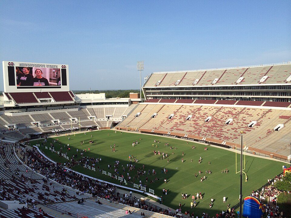 38 mi Stadium & arenaDavis Wade Stadium
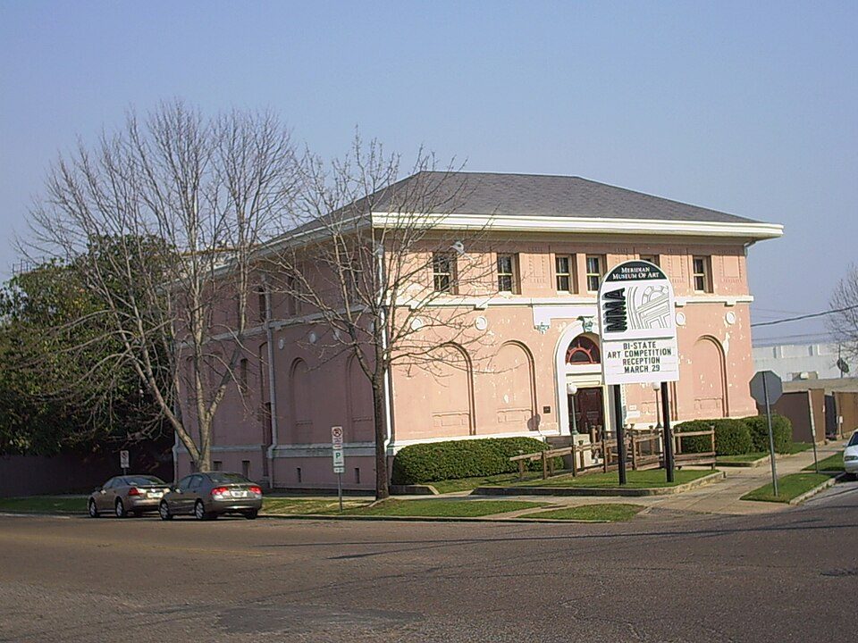 41 mi MuseumMeridian Museum of Art
 41 mi MuseumMississippi arts and entertainment experience36 mi PlanetariumRainwater Observatory and Planetarium46 mi City parkGainesville Park and Bandstand
Photo credits
Davis Wade Stadium: Nateb2003, CC BY-SA 3.0 · Meridian Museum of Art: Dudemanfellabra at English Wikipedia (Original text: Dudemanfellabra (talk)), CC BY-SA 3.0 · Mississippi arts and entertainment experience: Motifman1960, CC BY-SA 4.0


Quick answers on Nanih Waiya
What town is Nanih Waiya near?
Noxapater, MS, about 8 miles northwest.
When is the best time to visit Nanih Waiya?
March, April, May, October and November, with highs of 65–82°.
What is the closest airport to Nanih Waiya?
Golden Triangle Regional (GTR), about 42 miles away. The nearest big hub is Birmingham-Shuttlesworth (BHM), about 135 miles.
Where should I stay near Nanih Waiya?
Philadelphia (14 mi, 9 places to stay), Louisville (15 mi, 5 places to stay) and Pearl River (19 mi, 6 places to stay).
What locals in Noxapater say
Questions and tips go in Noxapater’s Town Square.
Sources: National Park Service · ski areas © OpenSkiMap / OpenStreetMap contributors · Wikidata · Wikipedia readership · NOAA climate normals · U.S. Census.