
Massacre Rocks State Park
Massacre Rocks State Park is a history-focused public recreation area in the Northwest United States featuring the Massacre Rocks, a famous spot along the Oregon Trail and California Trail during the middle 19th century. Its address puts it 6 mi southwest of American Falls. It was established in 1967.

A state park, 6 mi southwest of American Falls
Plan where you’ll sleep
The nearest town with many places to stay is Pocatello, 26 miles northeast. Where to stay ↓
Winters are cold
January nights drop to 16°. When to go ↓
Best months: Jun and Sep
June and September are the mild months, with highs of 77–78°. When to go ↓
Established in 1967
Massacre Rocks State Park dates from 1967. About ↓
Written from NOAA 1991–2020 normals, Overture places to stay, Census town figures, Wikidata and Wikipedia.
Weather, month by month
Each month’s highs and lows around Massacre Rocks are below.
Massacre Rocks State Park
Massacre Rocks State Park is a history-focused public recreation area in the Northwest United States featuring the Massacre Rocks, a famous spot along the Oregon Trail and California Trail during the middle 19th century. The state park is located along the Snake River and Rock Creek, ten miles (16 km) southwest of American Falls, in Power County, Idaho, United States.
- Type
- State park
- Established
- 1967
- Wikipedia readers
- 6.2K a year
Where to base yourself for Massacre Rocks State Park
Hotels, motels or campgrounds are closest in American Falls (4) and Pocatello (24).
American Falls
The closest town with somewhere to stay.
4,785 people
6 mi northeast of Massacre Rocks
Compare 3 towns
| Town | From Massacre Rocks | Drive | Places to stay | People | Typical home | Safety |
|---|---|---|---|---|---|---|
| American Falls | 6 mi northeast | 10 min | 4 2 motels · 2 campgrounds | 4,785 | $186K | B |
| Pocatello | 26 mi northeast | 40 min | 24 16 hotels · 2 motels · 2 inns & B&Bs · 2 campgrounds · 2 RV parks | 58,771 | $271K | C |
| Chubbuck | 28 mi northeast | 40 min | 4 3 hotels · 1 RV park | 16,823 | $342K | C− |
Getting there
Nearest airports with airline service
More near Massacre Rocks
Pair a visit with these, within 67 miles.
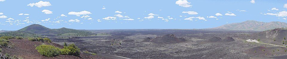 60 mi National PreserveCraters of the Moon National Preserve251K visitors a year
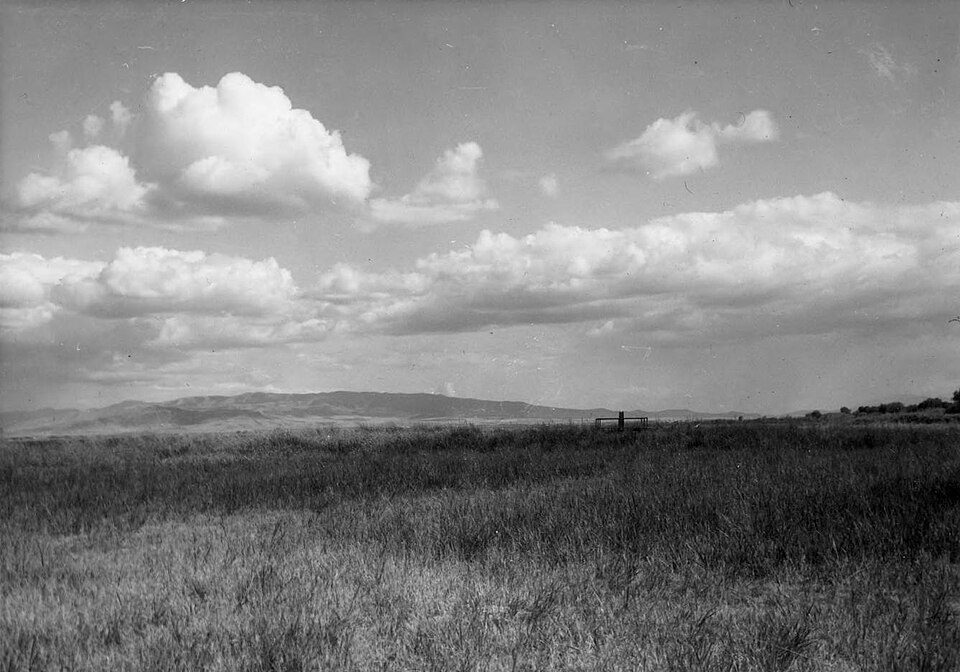 125 mi Ancient siteFort Hall
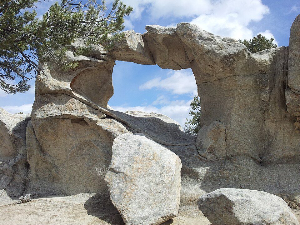 60 mi National park siteCity of Rocks National Reserve91K visitors a year
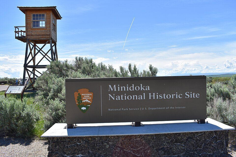 67 mi National Historic SiteMinidoka National Historic Site44K visitors a year40 mi Ski areaPebble Creek58 runs · 2,133 ft vertical45 mi Ski areaPomerelle Mountain Resort47 runs · 943 ft vertical
 44 mi MuseumIdaho Potato Museum
 227 mi MuseumIdaho Museum of Natural History
Photo credits
Craters of the Moon National Preserve: Unknown, CC BY-SA 3.0 · Fort Hall: National Park Service photographer, Public domain · City of Rocks National Reserve: Levieuxchiendetalus, CC BY-SA 3.0 · Minidoka National Historic Site: Tamanoeconomico, CC BY-SA 4.0 · Idaho Potato Museum: KRRK at English Wikipedia, CC0 · Idaho Museum of Natural History: Abbaby, CC BY-SA 3.0


Massacre Rocks, answered
What town is Massacre Rocks State Park near?
American Falls, ID, about 6 miles northeast.
When is the best time to visit Massacre Rocks State Park?
June and September, with highs of 77–78°.
What is the closest airport to Massacre Rocks State Park?
Pocatello Regional (PIH), about 21 miles away. The nearest big hub is Salt Lake City (SLC), about 143 miles.
Where should I stay near Massacre Rocks State Park?
American Falls (6 mi, 4 places to stay), Pocatello (26 mi, 24 places to stay) and Chubbuck (28 mi, 4 places to stay).
Local tips in American Falls
Ask a question, or answer one, in American Falls’s Town Square.
Sources: National Park Service · ski areas © OpenSkiMap / OpenStreetMap contributors · Wikidata · Wikipedia readership · NOAA climate normals · U.S. Census.