
MAPS Air Museum
The MAPS Air Museum is an aviation museum. Visitors find it in Green. It dates from 1991.

A museum inside Green
Winters are cold
January nights drop to 20°, with about 47" of snow a year. When to go ↓
You can stay in Green
MAPS Air Museum is inside Green, which has 11 places to stay, so you won’t need a base farther out. Where to stay ↓
Best months: May, Jun, Jul, Aug, Sep and Oct
May, June, July, August, September and October are the mild months, with highs of 63–83°. When to go ↓
An airport 1 miles away
Akron Canton Regional (CAK) has airline service, about 1 miles from MAPS Air Museum.
Established in 1991
MAPS Air Museum dates from 1991. About ↓
Written from NOAA 1991–2020 normals, Overture places to stay, Census town figures, Wikidata and Wikipedia.
How the seasons run
Every month near MAPS Air Museum is set out below.
MAPS Air Museum
The MAPS Air Museum is an aviation museum in North Canton, Ohio, United States. Run by the Military Aviation Preservation Society, it is located off SR241 on the west side of the Akron-Canton Regional Airport.
The museum holds more than 50 aircraft, most on loan from the U.S. Air Force or Navy for restoration. It also has two aircraft from the Goodyear Rubber Company.
- Type
- Museum
- Established
- 1991
- Wikipedia readers
- 2.9K a year
Hotels and campgrounds near MAPS Air Museum
The first towns with rooms are Green (11) and Plain Township (18).
Compare 8 towns
| Town | From MAPS Air Museum | Drive | Places to stay | People | Typical home | Safety |
|---|---|---|---|---|---|---|
| Green | in town | — | 11 10 hotels · 1 campground | 27,553 | $280K | — |
| Plain Township | 6 mi southeast | 10 min | 18 16 hotels · 1 inn or B&B · 1 lodge or cabins | 53,501 | $211K | — |
| Jackson Township | 4 mi south | 5 min | 15 15 hotels | 43,403 | $293K | C |
| Akron | 12 mi north | 20 min | 17 10 hotels · 1 motel · 3 inns & B&Bs · 2 lodges & cabins · 1 campground | 189,691 | $122K | D |
| Canton | 9 mi southeast | 15 min | 10 8 hotels · 1 inn or B&B · 1 lodge or cabins | 69,001 | $98K | D− |
| Springfield Township | 6 mi north | 10 min | 6 5 hotels · 1 motel | 14,240 | $157K | D |
| North Canton | 4 mi southeast | 5 min | 5 3 hotels · 1 inn or B&B · 1 lodge or cabins | 17,692 | $201K | B+ |
| Perry Heights | 8 mi south | 10 min | 7 3 hotels · 4 motels | 8,756 | $167K | — |
Getting there
Nearest airports with airline service
Worth adding to a visit
All of these are within 56 miles.
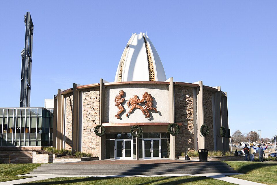 Big draw17 mi MuseumPro Football Hall of Fame192K visitors a year
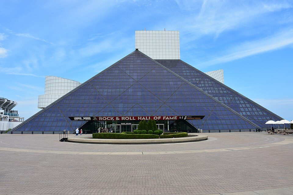 Big draw43 mi MuseumRock and Roll Hall of Fame580K visitors a year
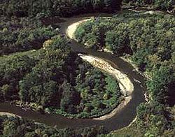 223 mi National ParkCuyahoga Valley National Park3.0M visitors a year
 Big draw42 mi Stadium & arenaProgressive Field
 43 mi Stadium & arenaHuntington Bank Field
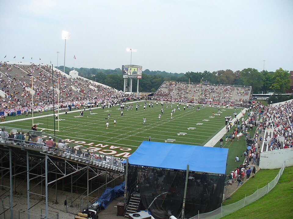 37 mi Stadium & arenaTom Benson Hall of Fame Stadium
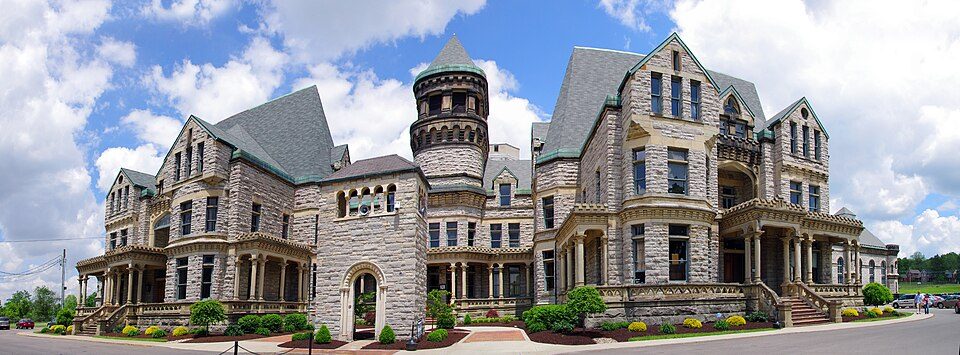 56 mi MuseumOhio State Reformatory
 42 mi Stadium & arenaRocket Arena
Photo credits
Pro Football Hall of Fame: Erik Drost, CC BY 2.0 · Rock and Roll Hall of Fame: MusikAnimal, CC BY-SA 4.0 · Cuyahoga Valley National Park: Unknown, Public domain · Progressive Field: Jsawczuk, Public domain · Huntington Bank Field: Erik Drost, CC BY 2.0 · Tom Benson Hall of Fame Stadium: Harrier233 at English Wikipedia, Public domain · Ohio State Reformatory: Niagara66, CC BY-SA 4.0 · Rocket Arena: Cards84664, CC BY-SA 4.0


MAPS Air Museum in questions
Is MAPS Air Museum in Green?
Yes. It’s inside Green, OH.
When is the best time to visit MAPS Air Museum?
May, June, July, August, September and October, with highs of 63–83°.
How far is MAPS Air Museum from Cleveland and Pittsburgh?
About 41 miles north of Cleveland and about 84 miles southeast of Pittsburgh, as the crow flies.
What is the closest airport to MAPS Air Museum?
Akron Canton Regional (CAK), about 1 miles away. The nearest big hub is Cleveland Hopkins (CLE), about 40 miles.
Where should I stay near MAPS Air Museum?
Plain Township (6 mi, 18 places to stay), Jackson Township (4 mi, 15 places to stay) and Green (in town, 11 places to stay).
Tips from Green
Nobody has posted a tip yet; ask or answer in Green’s Town Square.
Sources: National Park Service · ski areas © OpenSkiMap / OpenStreetMap contributors · Wikidata · Wikipedia readership · NOAA climate normals · U.S. Census.