Lake Agassiz
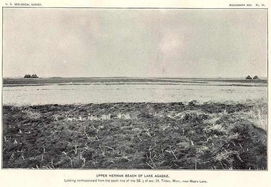
Lake Agassiz ( AG-ə-see) was a large proglacial lake that existed in central North America during the late Pleistocene, fed by meltwater from the retreating Laurentide Ice Sheet at the end of the last glacial period.

A lake
Plan where you’ll sleep
No town within 30 miles has many hotels or campgrounds. Look at the towns below, or plan to camp.
No airline airport nearby
The closest airport with airline service is Devils Lake Regional (DVL), 203 miles away.
One of the most looked-up attractions in the U.S.
About 104K people a year read its Wikipedia article, more than for 97% of the 7,799 attractions we track.
Written from Census job and town figures, Wikidata and Wikipedia.
Lake Agassiz
Lake Agassiz ( AG-ə-see) was a large proglacial lake that existed in central North America during the late Pleistocene, fed by meltwater from the retreating Laurentide Ice Sheet at the end of the last glacial period. At its peak, the lake's area was larger than all of the modern Great Lakes combined. It eventually drained into what is now Hudson Bay, leaving behind Lake Winnipeg, Lake Winnipegosis, Lake Manitoba, and Lake of the Woods.
First postulated in 1823 by William H. Keating, it was named by Warren Upham in 1879 after Louis Agassiz, the then recently deceased (1873) founder of glaciology, when Upham recognized that the lake was formed by glacial action.
- Type
- Lake
- Area
- 169,885 square miles
- Wikipedia readers
- 104K a year
Lake Agassiz, answered
What is the closest airport to Lake Agassiz?
Devils Lake Regional (DVL), about 203 miles away.
Sources: National Park Service · ski areas © OpenSkiMap / OpenStreetMap contributors · Wikidata · Wikipedia readership · U.S. Census.