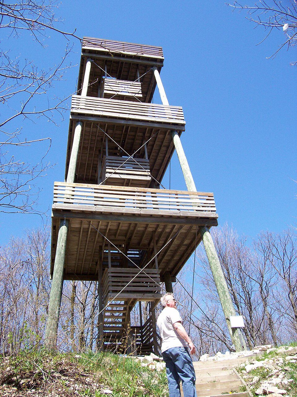
Kettle Moraine State Forest
The Kettle Moraine State Forest is a state forest in southeastern Wisconsin.

A park & preserve inside Kewaskum
Winters are cold
January nights drop to 11°. When to go ↓
Farmington is the nearest base
Farmington is 4 miles east, with 5 places to stay. Where to stay ↓
Best months: May, Jun, Jul, Aug and Sep
May, June, July, August and September are the mild months, with highs of 67–81°. When to go ↓
Written from NOAA 1991–2020 normals, Overture places to stay, Census town figures and Wikipedia.
Weather, month by month
Typical highs and lows in Kewaskum. Green months are the mild ones.
Kettle Moraine State Forest
The Kettle Moraine State Forest is a state forest in southeastern Wisconsin. The chief feature of the reserve is the Kettle Moraine, a highly glaciated area. The area contains very hilly terrain and glacial landforms, such as kettles, kames and eskers. The 56,000-acre (23,000 ha) forest is divided into two large and three small units, which are spread across a hundred miles.
The forest includes 250 miles (400 km) of hiking trails, almost 100 miles (160 km) of cross-country ski trails, 130 miles (210 km) of equestrian trails, 150 miles (240 km) of snowmobile trails, 75 miles (121 km) of off-road bicycle trails including 30 miles (48 km) of singletrack trail, and 750 campsites.
- Type
- Park & preserve
- Wikipedia readers
- 6.9K a year
Where to stay near Kettle Moraine State Forest
The closest towns with hotels, motels or campgrounds are West Bend (6) and Farmington (5), and Milwaukee has the most rooms in the area (101).
Milwaukee
The most places to stay in the area, and a base for a longer trip.
562,407 people
32 mi south of Kettle Moraine State Forest
Compare 9 towns
| Town | From Kettle Moraine State Forest | Drive | Places to stay | People | Typical home | Safety |
|---|---|---|---|---|---|---|
| Kewaskum | in town | — | — | 1,111 | $367K | — |
| West Bend | 6 mi south | 10 min | 6 4 hotels · 2 inns & B&Bs | 32,268 | $263K | C+ |
| Farmington | 4 mi east | 5 min | 5 2 inns & B&Bs · 3 campgrounds | 3,586 | $387K | — |
| Auburn | 7 mi north | 10 min | 4 1 hotel · 3 campgrounds | 2,404 | $337K | — |
| Hartford | 15 mi southwest | 25 min | 8 4 hotels · 1 motel · 2 inns & B&Bs · 1 lodge or cabins | 16,005 | $297K | B |
| Scott | 8 mi northeast | 10 min | 3 1 hotel · 2 campgrounds | 1,725 | $245K | — |
| West Bend | 8 mi south | 10 min | 3 1 hotel · 1 inn or B&B · 1 lodge or cabins | 4,401 | $467K | — |
| Barton | 3 mi southwest | 5 min | 2 2 campgrounds | 2,769 | $383K | — |
| Milwaukee | 32 mi south | 50 min | 101 79 hotels · 10 motels · 7 inns & B&Bs · 1 lodge or cabins · 1 hostel · 2 campgrounds · 1 RV park | 562,407 | $184K | D− |
Day trip from
Straight-line miles.
Getting there
Nearest airports with airline service
Also near Kettle Moraine State Forest
Other well-known places within 70 miles.
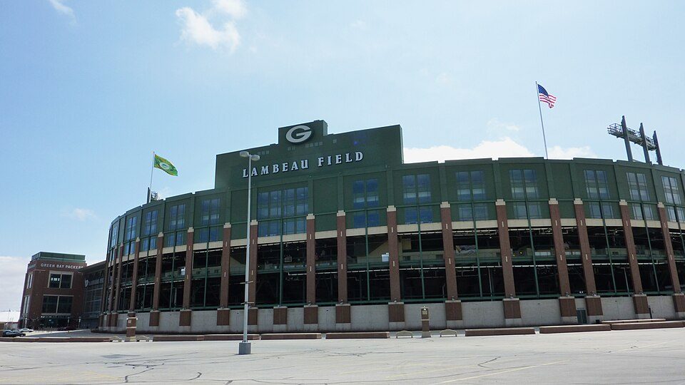 Big draw70 mi Stadium & arenaLambeau Field
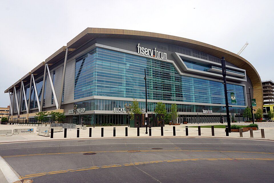 34 mi Stadium & arenaFiserv Forum
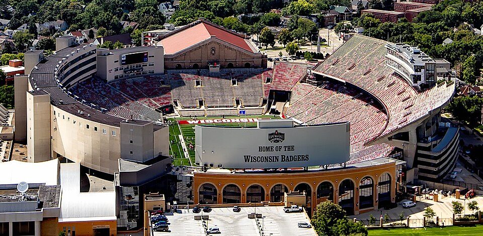 68 mi Stadium & arenaCamp Randall Stadium
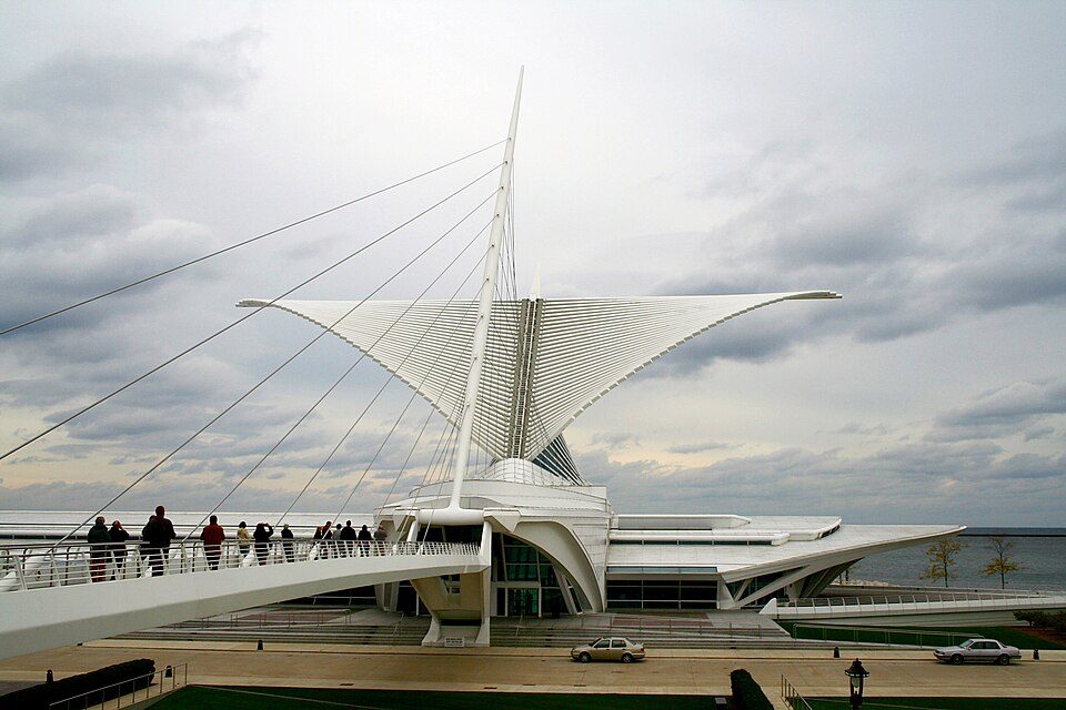 35 mi MuseumMilwaukee Art Museum350K visitors a year
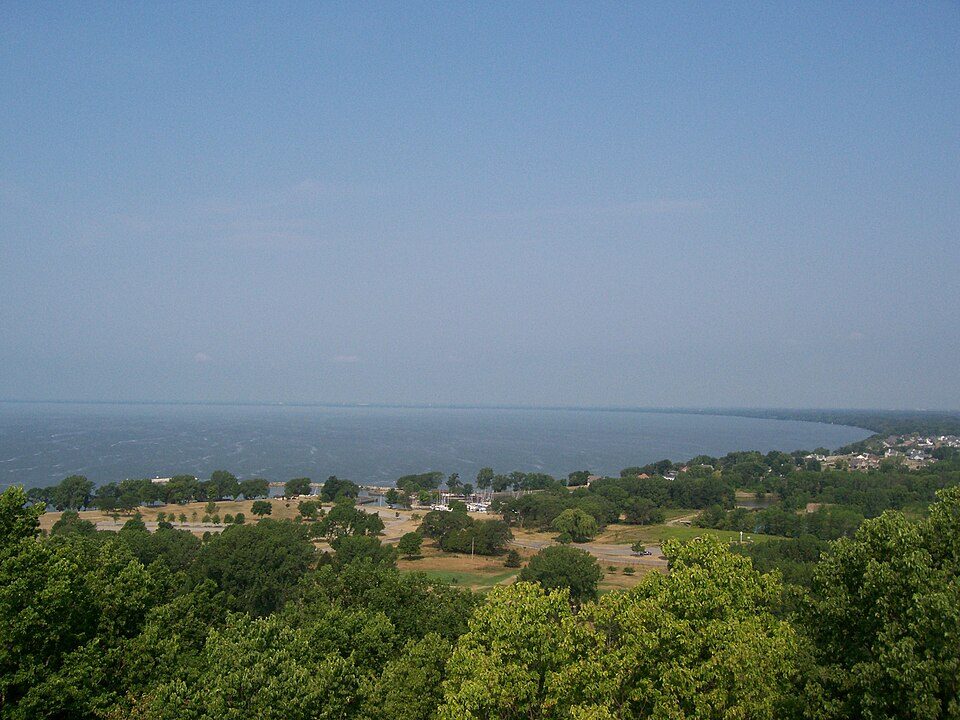 37 mi LakeLake Winnebago
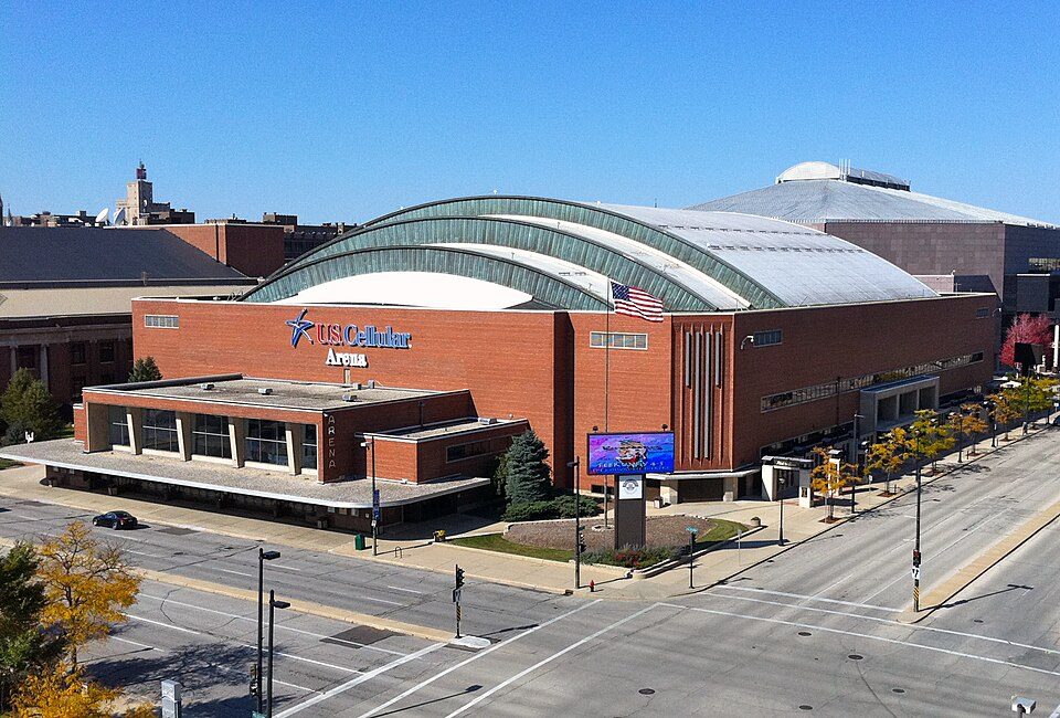 34 mi Stadium & arenaUW–Milwaukee Panther Arena
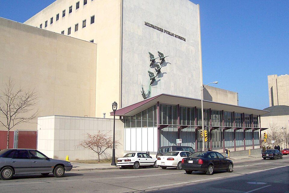 34 mi MuseumNature & Culture Museum of Wisconsin
 35 mi MuseumHarley-Davidson Museum300K visitors a year
Photo credits
Lambeau Field: JL1Row, CC BY-SA 3.0 · Fiserv Forum: Michael Barera, CC BY-SA 4.0 · Camp Randall Stadium: Carol M. Highsmith, Public domain · Milwaukee Art Museum: Michael Hicks (Mulad), CC BY 2.0 · Lake Winnebago: self, CC BY-SA 2.5 · UW–Milwaukee Panther Arena: Shadowlink1014, Public domain · Nature & Culture Museum of Wisconsin: The original uploader was Sulfur at English Wikipedia., CC BY-SA 3.0 · Harley-Davidson Museum: Dori, CC BY-SA 3.0 us


Visiting Kettle Moraine State Forest
Is Kettle Moraine State Forest in Kewaskum?
Yes. It’s inside Kewaskum, WI.
When is the best time to visit Kettle Moraine State Forest?
May, June, July, August and September, with highs of 67–81°.
What is the closest airport to Kettle Moraine State Forest?
General Mitchell (MKE), about 41 miles away.
Where should I stay near Kettle Moraine State Forest?
West Bend (6 mi, 6 places to stay), Farmington (4 mi, 5 places to stay) and Milwaukee (32 mi, 101 places to stay).
Tips from people in Kewaskum
No tips yet. Ask, or answer, in Kewaskum’s Town Square.
Sources: National Park Service · ski areas © OpenSkiMap / OpenStreetMap contributors · Wikidata · Wikipedia readership · NOAA climate normals · U.S. Census.