
Kalopa State Recreation Area
The Kalōpā Native Forest State Park and Recreation Area is a state park with an arboretum of native trees located approximately 40 mi (64 km) northwest of Hilo, near the village of Honokaʻa, a few miles inland from the Mamalahoa Highway (Ro

A garden, 3 mi southeast of Honokaa
Plan where you’ll sleep
The nearest town with many places to stay is Honomu, 24 miles southeast. Where to stay ↓
Best months: Jan, Feb, Mar, Apr, May, Jun, Jul, Aug, Sep, Oct, Nov and Dec
January, February, March, April, May, June, July, August, September, October, November and December are the mild months, with highs of 77–83°. When to go ↓
Written from NOAA 1991–2020 normals, Overture places to stay, Census town figures and Wikipedia.
Weather, month by month
Typical highs and lows in Honokaa. Green months are the mild ones.
Kalopa State Recreation Area
The Kalōpā Native Forest State Park and Recreation Area is a state park with an arboretum of native trees located approximately 40 mi (64 km) northwest of Hilo, near the village of Honokaʻa, a few miles inland from the Mamalahoa Highway (Route 19) section of the Hawaii Belt Road, Island of Hawaiʻi, Hawaiʻi.
This 100-acre (40 ha) park adjoins an additional 500 acres (200 ha) in the Kalopa Forest Reserve. The park is at an elevation of 2,000 ft (610 m) and includes a 0.7 mi (1.1 km) loop through a forest of native ʻōhiʻa lehua (Metrosideros polymorpha) trees. A number of rare plants can be found in the arboretum area, including endangered loulu palms (Pritchardia spp.), as well as a number of rare native hibiscus. Due to the altitude, damp and chilly weather is the norm.
- Type
- Garden
Where to stay near Kalopa State Recreation Area
The closest towns with hotels, motels or campgrounds are Honokaa (3) and Waikoloa Beach Resort (42).
Honokaa
The closest town with somewhere to stay.
1,963 people
3 mi northwest of Kalopa State Recreation Area
Waikoloa Beach Resort
656 people · 62% vacation homes
29 mi west of Kalopa State Recreation Area
Compare 8 towns
| Town | From Kalopa State Recreation Area | Drive | Places to stay | People | Typical home |
|---|---|---|---|---|---|
| Honokaa | 3 mi northwest | 5 min | 3 1 inn or B&B · 1 lodge or cabins · 1 hostel | 1,963 | $611K |
| Waikoloa Beach Resort 62% vacation homes | 29 mi west | 45 min | 42 42 hotels | 656 | $1,366K |
| Waimea | 12 mi west | 20 min | 3 1 hotel · 1 inn or B&B · 1 lodge or cabins | 9,286 | $677K |
| Laupahoehoe | 14 mi east | 20 min | 2 1 lodge or cabins · 1 campground | 916 | $578K |
| Kukuihaele | 10 mi northwest | 15 min | 1 1 hotel | 310 | $648K |
| Honomu | 24 mi southeast | 35 min | 6 2 hotels · 4 inns & B&Bs | 376 | $428K |
| Waikoloa Village 20% vacation homes | 25 mi west | 35 min | 3 3 hotels | 7,543 | $803K |
| Kapaau | 27 mi northwest | 40 min | 2 1 inn or B&B · 1 lodge or cabins | 2,224 | $661K |
Getting there
Nearest airports with airline service
Also near Kalopa State Recreation Area
Other well-known places within 67 miles. Numbered ones are on the map above.
 Big draw115 mi MountainMauna Kea
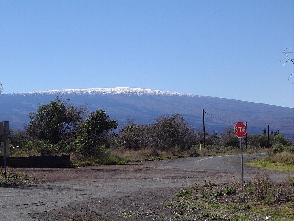 Big draw40 mi MountainMauna Loa
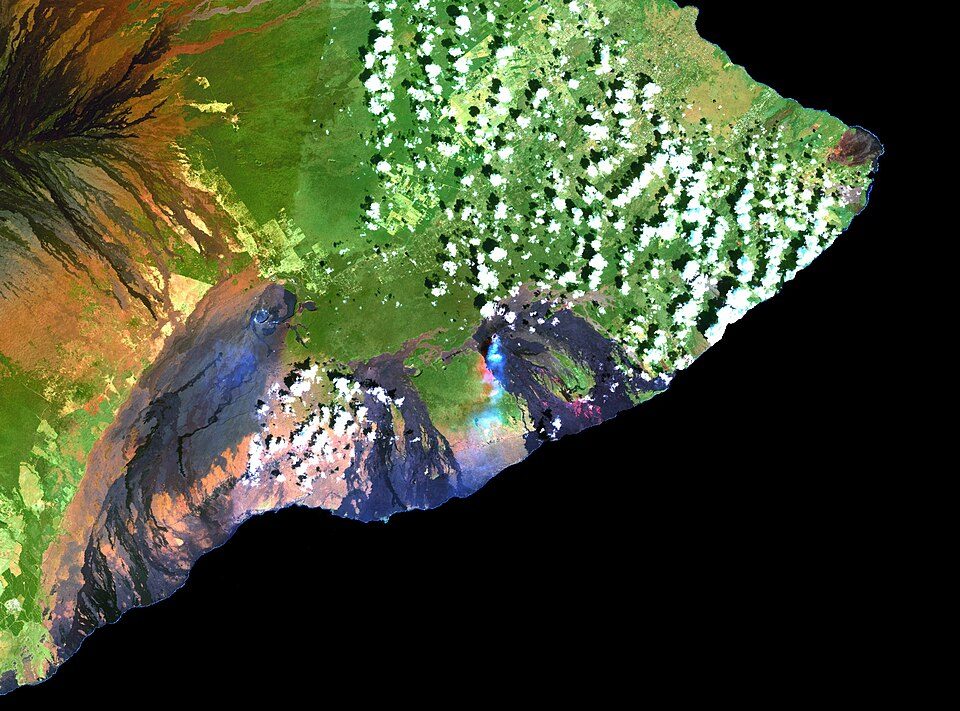 Big draw44 mi MountainKīlauea
 49 mi National ParkHawai'i Volcanoes National Park1.9M visitors a year
 37 mi MountainHualālai
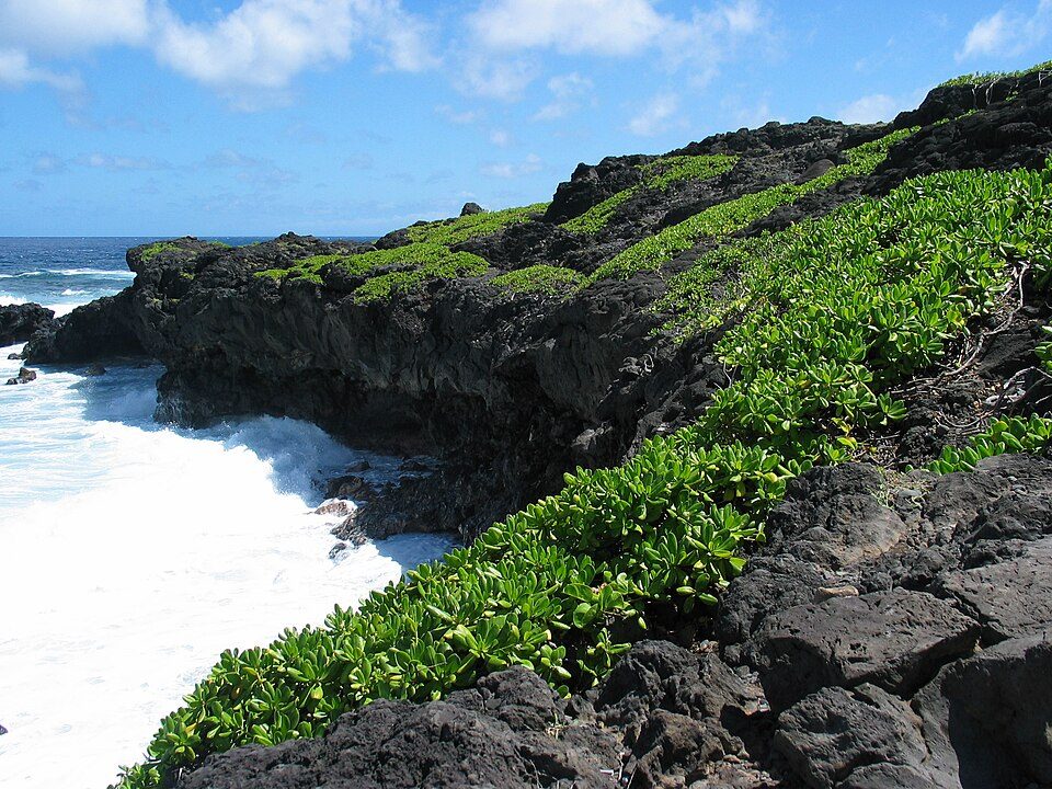 66 mi National ParkHaleakala National Park854K visitors a year
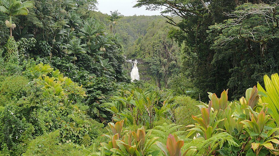 222 mi State parkAkaka Falls State Park
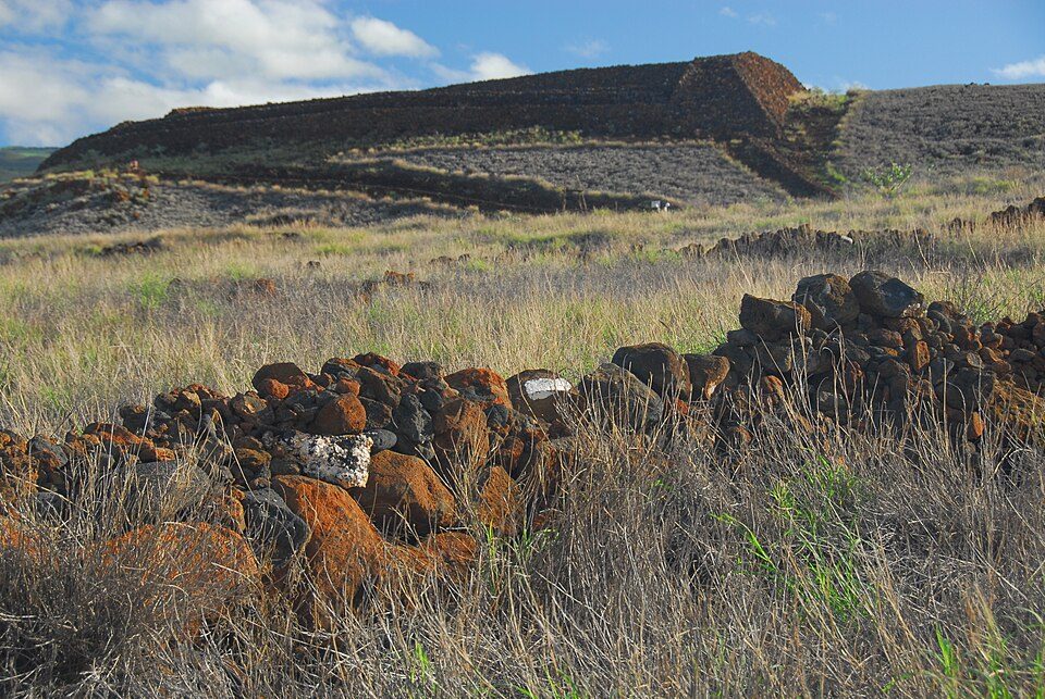 325 mi National Historic SitePu'ukohola Heiau National Historic Site22K visitors a year
Photo credits
Mauna Kea: Unknown, CC BY-SA 3.0 · Mauna Loa: Gordon Joly, CC BY-SA 3.0 · Kīlauea: Hawaii Land Cover Analysis project, NOAA Coastal Services Center, Public domain · Hawai'i Volcanoes National Park: Jos-uit-boston at Dutch Wikipedia, CC BY-SA 3.0 · Hualālai: Photograph by J. Kauahikaua., Public domain · Haleakala National Park: Michael Oswald, Public domain · Akaka Falls State Park: Robert Linsdell from St. Andrews, Canada, CC BY 2.0 · Pu'ukohola Heiau National Historic Site: Bamse, CC BY-SA 4.0


Visiting Kalopa State Recreation Area
What town is Kalopa State Recreation Area near?
Honokaa, HI, about 3 miles northwest.
When is the best time to visit Kalopa State Recreation Area?
January, February, March, April, May, June, July, August, September, October, November and December, with highs of 77–83°.
What is the closest airport to Kalopa State Recreation Area?
Waimea Kohala (MUE), about 15 miles away. The nearest big hub is Ellison Onizuka Kona International Airport at Keāhole (KOA), about 45 miles.
Where should I stay near Kalopa State Recreation Area?
Honokaa (3 mi, 3 places to stay), Waikoloa Beach Resort (29 mi, 42 places to stay) and Waimea (12 mi, 3 places to stay).
Tips from people in Honokaa
No tips yet. Ask, or answer, in Honokaa’s Town Square.
Sources: National Park Service · ski areas © OpenSkiMap / OpenStreetMap contributors · Wikidata · Wikipedia readership · NOAA climate normals · U.S. Census.