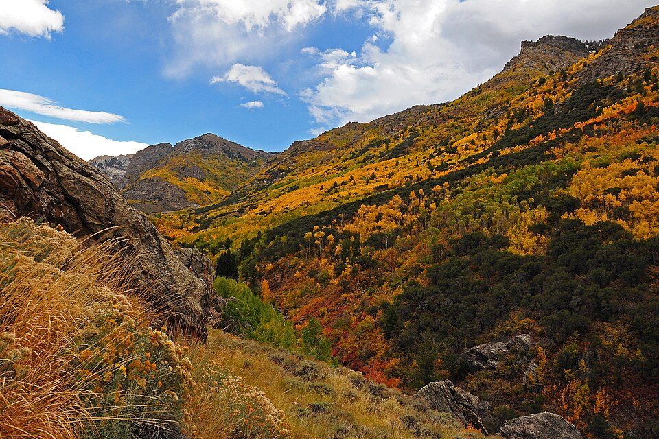
Humboldt–Toiyabe National Forest
The Humboldt–Toiyabe National Forest (HTNF) is the principal U.S. national forest in the U.S. state of Nevada, and has a smaller portion further west in Eastern California in the state of California. Its setting is 51 mi northeast of Gabbs. Highs of 76–84°F make May and September the mildest time to go.

A national forest, 51 mi northeast of Gabbs
Plan where you’ll sleep
No town within 30 miles has many hotels or campgrounds. Look at the towns below, or plan to camp. Where to stay ↓
No airline airport nearby
The closest airport with airline service is Elko Regional (EKO), 130 miles away.
Summers are hot
July and August highs run 93–95°, and about 78 days a year reach 90°. When to go ↓
Winters are cold
January nights drop to 20°. When to go ↓
Best months: May and Sep
May and September are the mild months, with highs of 76–84°. When to go ↓
Written from NOAA 1991–2020 normals, Overture places to stay, Census town figures, Wikidata and Wikipedia.
Weather through the year
Below are typical highs and lows near Humboldt–Toiyabe National Forest.
Humboldt–Toiyabe National Forest
The Humboldt–Toiyabe National Forest (HTNF) is the principal U.S. national forest in the U.S. state of Nevada, and has a smaller portion further west in Eastern California in the state of California. With an area of 6,289,821 acres (25,454.00 km2), it is the largest U.S. national forest reservation outside of Alaska.
- Type
- National forest
- Area
- 9,828 square miles
- Wikipedia readers
- 8.8K a year
Where to base yourself for Humboldt–Toiyabe National Forest
Towns within 30 miles, best bases first.
Gabbs
The closest town with somewhere to stay.
237 people
51 mi southwest of Humboldt–Toiyabe National Forest
Compare 1 towns
| Town | From Humboldt–Toiyabe National Forest | Drive | Places to stay | People |
|---|---|---|---|---|
| Gabbs | 51 mi southwest | 1.5 hr | 1 1 motel | 237 |
Getting there
Nearest airports with airline service
Questions before you go
What town is Humboldt–Toiyabe National Forest near?
Gabbs, NV, about 51 miles southwest.
When is the best time to visit Humboldt–Toiyabe National Forest?
May and September, with highs of 76–84°.
What is the closest airport to Humboldt–Toiyabe National Forest?
Elko Regional (EKO), about 130 miles away. The nearest big hub is Reno Tahoe (RNO), about 142 miles.
Locals’ advice in Gabbs
No one has shared advice yet; Gabbs’s Town Square takes questions.
Sources: National Park Service · ski areas © OpenSkiMap / OpenStreetMap contributors · Wikidata · Wikipedia readership · NOAA climate normals · U.S. Census.