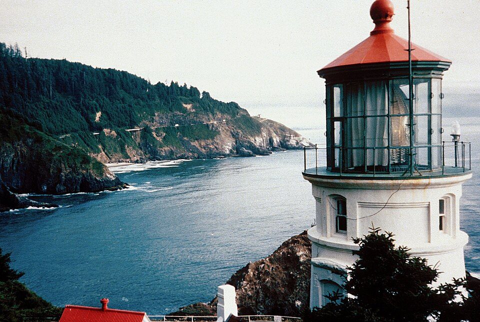
Heceta Head Light
Heceta Head Light is a lighthouse on the Oregon Coast 13 miles (21 km) north of Florence, and 13 miles (21 km) south of Yachats in the United States. Its history begins in 1892. The mildest months are June to September, with highs of 64–68°F.

A lighthouse, 12 mi south of Yachats
Yachats is the nearest base
Yachats is 12 miles north, with 13 places to stay. Where to stay ↓
Established in 1892
Heceta Head Light dates from 1892. About ↓
Best months: Jun, Jul, Aug and Sep
June, July, August and September are the mild months, with highs of 64–68°. When to go ↓
Written from NOAA 1991–2020 normals, Overture places to stay, Census town figures, Wikidata and Wikipedia.
The year’s weather
Pick a month for Heceta Head Light from the weather below.
Heceta Head Light
Heceta Head Light is a lighthouse on the Oregon Coast 13 miles (21 km) north of Florence, and 13 miles (21 km) south of Yachats in the United States. It is located at Heceta Head Lighthouse State Scenic Viewpoint, a state park, midway up a 205-foot-tall (62 m) headland. Built in 1894, the 56-foot (17 m)-tall lighthouse shines a beam visible for 21 nautical miles (39 kilometres; 24 miles), making it the strongest light on the Oregon Coast.
The light is maintained by the Oregon Parks and Recreation Department (OPRD). At the same time, the assistant lighthouse keepers' house, operated as a bed-and-breakfast inn, is maintained by the U.S. Forest Service. The lighthouse is 2 miles (3 km) from Sea Lion Caves.
- Type
- Lighthouse
- Established
- 1892
- Listed
- National Register of Historic Places (1978)
- Wikipedia readers
- 9.5K a year
Bases for Heceta Head Light
To stay close, try Yachats (13) and San Marine (10).
Yachats
The closest town with somewhere to stay.
1,013 people · 35% vacation homes
12 mi north of Heceta Head Light
Compare 4 towns
| Town | From Heceta Head Light | Drive | Places to stay | People | Typical home |
|---|---|---|---|---|---|
| Yachats 35% vacation homes | 12 mi north | 20 min | 13 5 hotels · 4 motels · 1 inn or B&B · 2 lodges & cabins · 1 campground | 1,013 | $558K |
| San Marine 23% vacation homes | 15 mi north | 25 min | 10 2 hotels · 3 motels · 2 lodges & cabins · 3 campgrounds | 506 | $479K |
| Waldport | 20 mi north | 30 min | 13 2 hotels · 2 motels · 2 inns & B&Bs · 2 lodges & cabins · 2 campgrounds · 3 RV parks | 2,268 | $366K |
| Bayshore 52% vacation homes | 21 mi north | 30 min | 1 1 lodge or cabins | 925 | $437K |
Getting there
Nearest airports with airline service
Pair Heceta Head Light with these
These well-known places are within 54 miles.
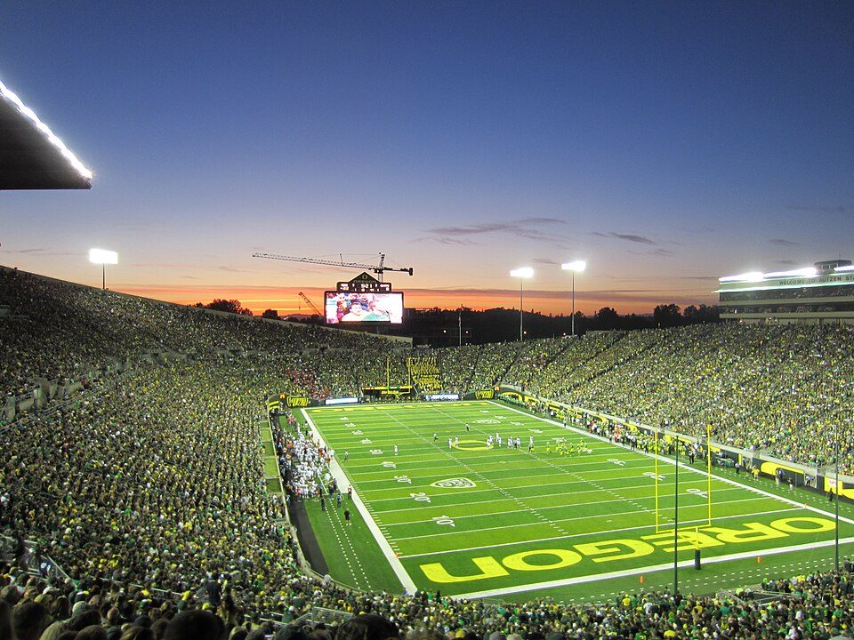 53 mi Stadium & arenaAutzen Stadium
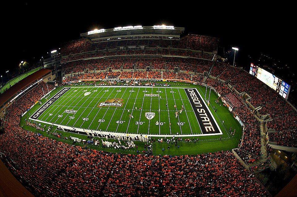 51 mi Stadium & arenaReser Stadium
 129 mi Park & preserveOregon Dunes National Recreation Area
 53 mi Stadium & arenaHayward Field33 mi Zoo & aquariumOregon Coast Aquarium
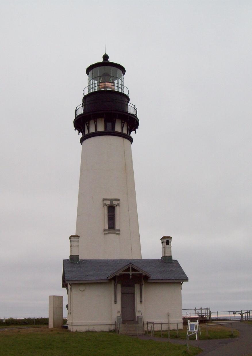 37 mi LighthouseYaquina Head Light
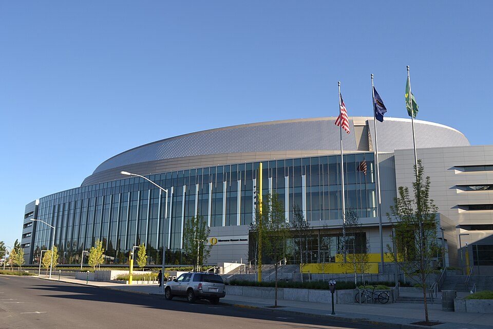 53 mi Stadium & arenaMatthew Knight Arena
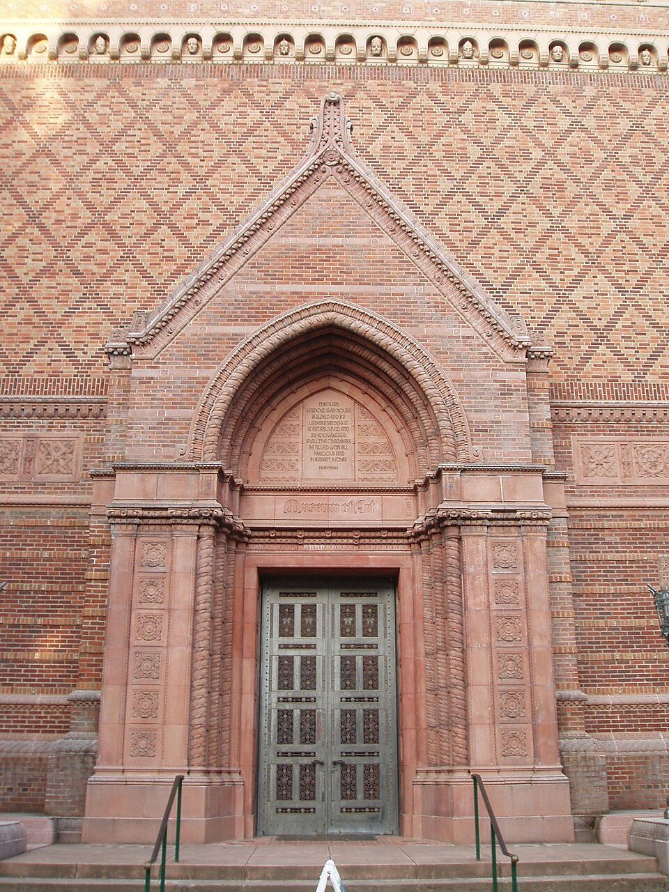 53 mi MuseumJordan Schnitzer Museum of Art
Photo credits
Autzen Stadium: Another Believer, CC BY-SA 3.0 · Reser Stadium: Zapper258, CC BY-SA 3.0 · Oregon Dunes National Recreation Area: Joe Mabel (on Flickr as Joe Mabel from Seattle, US), CC BY-SA 3.0 · Hayward Field: Jsayre64, CC BY-SA 3.0 · Yaquina Head Light: $1LENCE D00600D, CC BY-SA 3.0 · Matthew Knight Arena: Visitor7, CC BY-SA 3.0 · Jordan Schnitzer Museum of Art: User:Akendall, CC BY-SA 3.0


Visiting Heceta Head Light
What town is Heceta Head Light near?
Yachats, OR, about 12 miles north.
When is the best time to visit Heceta Head Light?
June, July, August and September, with highs of 64–68°.
What is the closest airport to Heceta Head Light?
Eugene (EUG), about 45 miles away. The nearest big hub is Portland (PDX), about 125 miles.
Where should I stay near Heceta Head Light?
Yachats (12 mi, 13 places to stay), San Marine (15 mi, 10 places to stay) and Waldport (20 mi, 13 places to stay).
Tips from people in Yachats
Questions and tips go in Yachats’s Town Square.
Sources: National Park Service · ski areas © OpenSkiMap / OpenStreetMap contributors · Wikidata · Wikipedia readership · NOAA climate normals · U.S. Census.