
Hawikuh Ruins
Hawikuh (Zuni: Hawikku, meaning "gum leaves"), was one of the largest of the Zuni pueblos at the time of the Spanish entrada. Its setting is 12 mi southwest of Zuni Pueblo. Pleasant highs of 81°F mark the mildest months, September.

An ancient site, 12 mi southwest of Zuni Pueblo
Plan where you’ll sleep
The nearest town with many places to stay is Gallup, 42 miles north. Where to stay ↓
Winters are cold
January nights drop to 16°, with about 10" of snow a year. When to go ↓
Best month: Sep
September is the mild month, with a high of 81°. When to go ↓
Written from NOAA 1991–2020 normals, Overture places to stay, Census town figures, Wikidata and Wikipedia.
Highs and lows by month
The weather near Hawikuh Ruins shifts through the year, as below.
Hawikuh Ruins
Hawikuh (Zuni: Hawikku, meaning "gum leaves"), was one of the largest of the Zuni pueblos at the time of the Spanish entrada. It was founded around 1400 AD. It was the first pueblo to be visited and conquered by Spanish explorers. The Spanish chroniclers referred to it as Cevola, Tzibola, or Cibola.
The pueblo site is located 12 miles (19 km) southwest of Zuni Pueblo, on the Zuni Indian Reservation in Cibola County, New Mexico. In 1960 the site was designated as a National Historic Landmark known as the Hawikuh Ruins. It is included as a contributing part of the Zuni-Cibola Complex of archaeological sites, a larger National Historic Landmark District designated by the United States Department of Interior in 1974.
- Type
- Ancient site
- Listed
- National Historic Landmark (1960) · National Register of Historic Places (1966)
- Wikipedia readers
- 8K a year
Where to stay near Hawikuh Ruins
Towns within 30 miles, best bases first.
Zuni Pueblo
The closest town with somewhere to stay.
5,864 people
12 mi northeast of Hawikuh Ruins
Gallup
The most places to stay in the area, and a base for a longer trip.
19,969 people
42 mi north of Hawikuh Ruins
Compare 5 towns
| Town | From Hawikuh Ruins | Drive | Places to stay | People | Typical home | Safety |
|---|---|---|---|---|---|---|
| Zuni Pueblo | 12 mi northeast | 20 min | 1 1 inn or B&B | 5,864 | $82K | — |
| Sagar 28% vacation homes | 25 mi northeast | 40 min | 1 1 campground | 197 | — | — |
| Sanders | 27 mi northwest | 40 min | 1 1 hotel | 684 | — | — |
| Vanderwagen 33% vacation homes | 27 mi northeast | 40 min | 1 1 campground | 61 | — | — |
| Gallup | 42 mi north | 1 hr | 52 35 hotels · 14 motels · 1 inn or B&B · 1 campground · 1 RV park | 19,969 | $165K | D− |
Getting there
Nearest airports with airline service
More to see nearby
These well-known sights sit within 63 miles.
 48 mi National ParkPetrified Forest National Park316K visitors a year
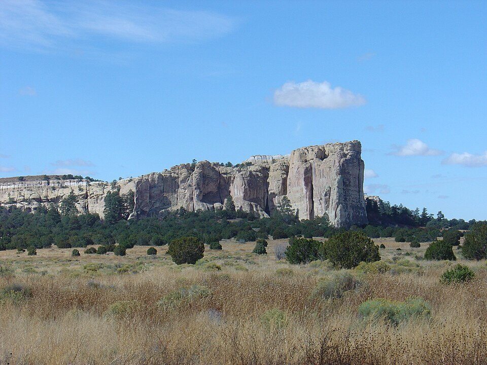 36 mi National MonumentEl Morro National Monument49K visitors a year
 45 mi LandmarkFort Wingate
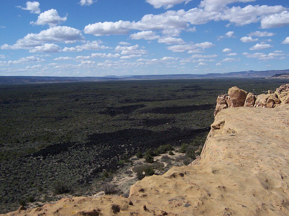 53 mi National MonumentEl Malpais National Monument152K visitors a year
 63 mi National Historic SiteHubbell Trading Post National Historic Site45K visitors a year
 47 mi AttractionPainted Desert Inn
 51 mi Zoo & aquariumNavajo Nation Zoological and Botanical Park
 51 mi MuseumNavajo Nation Museum
Photo credits
Petrified Forest National Park: Finetooth, CC BY-SA 3.0 · El Morro National Monument: Joel Mills, CC BY-SA 3.0 · Fort Wingate: Elias Olcott Beaman / James Fennemore / John Karl Hillers, Public domain · El Malpais National Monument: Original uploader was Chackerman at en.wikipedia, CC BY 2.5 · Hubbell Trading Post National Historic Site: Jsweida, CC BY-SA 3.0 · Painted Desert Inn: TheCatalyst31, CC BY-SA 3.0 · Navajo Nation Zoological and Botanical Park: Taken by Staff of the Navajo Nation Zoo, Public domain · Navajo Nation Museum: Chris English, CC BY-SA 3.0


Asked about Hawikuh Ruins
What town is Hawikuh Ruins near?
Zuni Pueblo, NM, about 12 miles northeast.
When is the best time to visit Hawikuh Ruins?
September, with a high of 81°.
What is the closest airport to Hawikuh Ruins?
Gallup Municipal (GUP), about 42 miles away. The nearest big hub is Albuquerque International Sunport (ABQ), about 135 miles.
Where should I stay near Hawikuh Ruins?
Gallup (42 mi, 52 places to stay).
Notes from people in Zuni Pueblo
There are no tips yet, so start one in Zuni Pueblo’s Town Square.
Sources: National Park Service · ski areas © OpenSkiMap / OpenStreetMap contributors · Wikidata · Wikipedia readership · NOAA climate normals · U.S. Census.