
Hacienda Buena Vista
Hacienda Buena Vista, also known as Hacienda Vives (or Buena Vista Plantation in English), was a coffee plantation located in Barrio Magueyes, Ponce, Puerto Rico. It goes back to 1987.

A museum
Plan where you’ll sleep
No town within 30 miles has many hotels or campgrounds. Look at the towns below, or plan to camp.
Established in 1987
Hacienda Buena Vista dates from 1987. About ↓
Written from Census job and town figures, Wikidata and Wikipedia.
Hacienda Buena Vista
Hacienda Buena Vista, also known as Hacienda Vives (or Buena Vista Plantation in English), was a coffee plantation located in Barrio Magueyes, Ponce, Puerto Rico. The original plantation dates from the 19th century. The plantation was started by Don Salvador de Vives in 1833.
The Hacienda is located on 81.79 acres (331,000 m2) of fertile land that includes a humid subtropical forest some 7 miles (11 km) north of Ponce on Route PR-123, in Corral Viejo, a subbarrio of Barrio Magueyes. The plantation house was built in the Spanish Colonial style, with the surrounding buildings being built in the local Criollo style. The original Hacienda covered 482 cuerdas (approx. 468 acres).
- Type
- Museum
- Established
- 1987
- Listed
- National Register of Historic Places (1994)
- Wikipedia readers
- 2.2K a year
Combine it with these
These well-known sights sit within 60 miles.
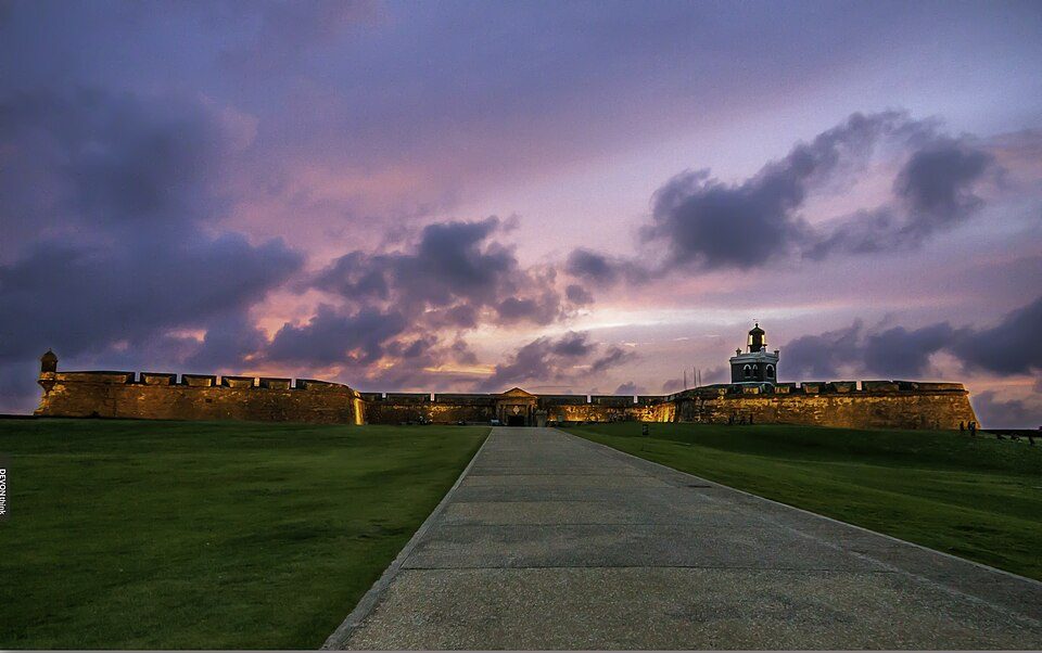 44 mi LandmarkCastillo San Felipe del Morro
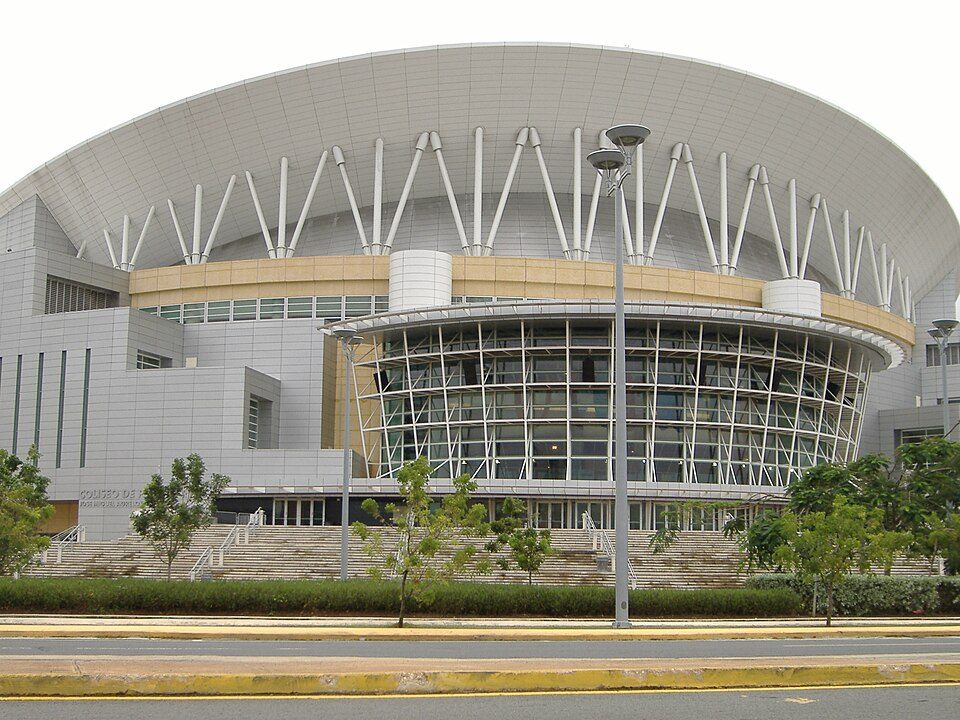 46 mi Stadium & arenaJosé Miguel Agrelot Coliseum
 44 mi LandmarkOld San Juan Historic District
 59 mi National forestEl Yunque National Forest
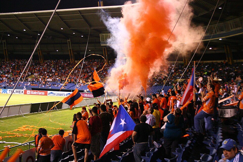 39 mi Stadium & arenaJuan Ramón Loubriel Stadium
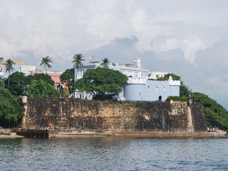 44 mi LandmarkLa Fortaleza
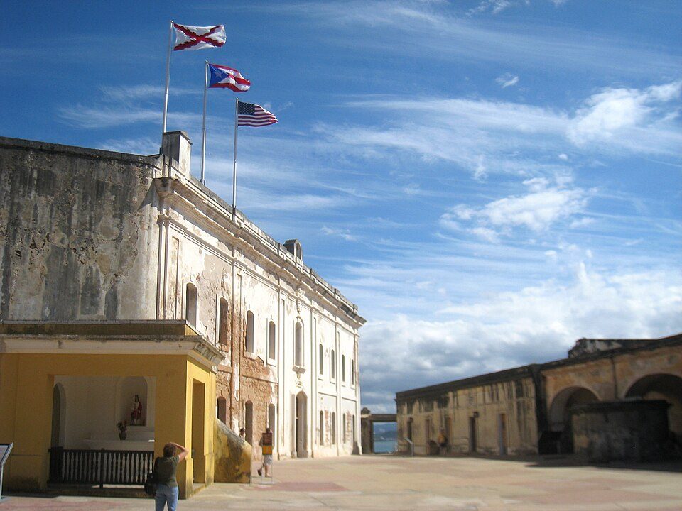 44 mi LandmarkCastillo San Cristóbal
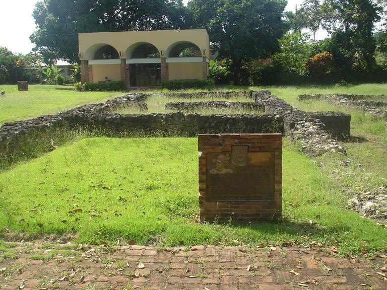 42 mi MuseumCaparra
Photo credits
Castillo San Felipe del Morro: Joshua Wood, CC BY-SA 3.0 · José Miguel Agrelot Coliseum: Mtmelendez, CC BY-SA 3.0 · Old San Juan Historic District: Jruizalvarez, CC BY-SA 4.0 · El Yunque National Forest: Šarūnas Burdulis, CC BY-SA 2.0 · Juan Ramón Loubriel Stadium: Sebastian Perez, CC BY-SA 4.0 · La Fortaleza: Jano Ťažký, CC BY-SA 3.0 · Castillo San Cristóbal: Daderot, Public domain · Caparra: Original uploader was Marine 69-71 at en.wikipedia, CC BY-SA 3.0


Sources: National Park Service · ski areas © OpenSkiMap / OpenStreetMap contributors · Wikidata · Wikipedia readership · U.S. Census.