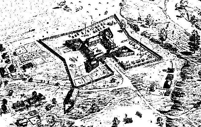
Fort Le Boeuf
Fort Le Bœuf (often referred to as Fort de la Rivière au Bœuf) was a fort established by the French during 1753 on a fork of French Creek (in the drainage area of the River Ohio), in present-day Waterford, in northwest Pennsylvania.

A landmark inside Waterford
Winters are cold
January nights drop to 18°, with about 114" of snow a year. When to go ↓
Summit Township is the nearest base
Summit Township is 8 miles northwest, with 29 places to stay. Where to stay ↓
Established in 1753
Fort Le Boeuf dates from 1753. About ↓
Best months: May, Jun, Jul, Aug and Sep
May, June, July, August and September are the mild months, with highs of 69–81°. When to go ↓
Written from NOAA 1991–2020 normals, Overture places to stay, Census town figures, Wikidata and Wikipedia.
Weather, month by month
Typical highs and lows in Waterford. Green months are the mild ones.
Fort Le Boeuf
Fort Le Bœuf (often referred to as Fort de la Rivière au Bœuf) was a fort established by the French during 1753 on a fork of French Creek (in the drainage area of the River Ohio), in present-day Waterford, in northwest Pennsylvania. The fort was part of a line that included Fort Presque Isle, Fort Machault, and Fort Duquesne.
The fort was located about 15 miles (24 km) from the shores of Lake Erie, on the banks of LeBoeuf Creek, for which the fort was named. The French portaged supplies and trade goods from Lake Erie overland to Fort Le Bœuf. From there they traveled by raft and canoe down French Creek to the rivers Allegheny, Ohio and Mississippi.
- Type
- Landmark
- Established
- 1753
- Wikipedia readers
- 11K a year
Where to stay near Fort Le Boeuf
The closest towns with hotels, motels or campgrounds are Summit Township (29) and Millcreek Township (33).
Compare 8 towns
| Town | From Fort Le Boeuf | Drive | Places to stay | People | Typical home | Safety |
|---|---|---|---|---|---|---|
| Waterford | in town | — | 2 2 hotels | 1,430 | $168K | — |
| Summit Township | 8 mi northwest | 10 min | 29 28 hotels · 1 campground | 7,539 | $245K | — |
| Millcreek Township | 12 mi northwest | 20 min | 33 15 hotels · 13 motels · 2 inns & B&Bs · 3 lodges & cabins | 52,680 | $231K | B |
| Erie | 13 mi north | 20 min | 13 8 hotels · 3 inns & B&Bs · 1 lodge or cabins · 1 campground | 91,838 | $115K | C− |
| Washington Township | 8 mi southwest | 10 min | 4 2 hotels · 1 inn or B&B · 1 lodge or cabins | 4,364 | $285K | — |
| McKean Township | 9 mi northwest | 15 min | 4 1 hotel · 1 campground · 2 RV parks | 4,340 | $242K | — |
| Bloomfield Township 48% vacation homes | 12 mi southeast | 15 min | 5 2 lodges & cabins · 2 campgrounds · 1 RV park | 1,821 | $133K | — |
| Fairview Township | 14 mi northwest | 20 min | 5 2 hotels · 3 campgrounds | 11,494 | $295K | — |
Getting there
Nearest airports with airline service
Also near Fort Le Boeuf
Other well-known places within 57 miles. Numbered ones are on the map above.
 Big draw56 mi LakeLake Erie
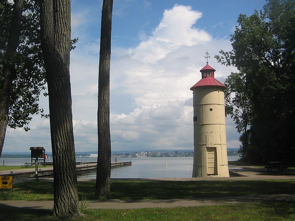 117 mi State parkPresque Isle State Park
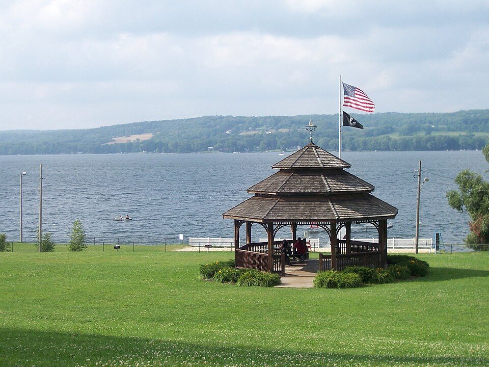 34 mi LakeChautauqua Lake
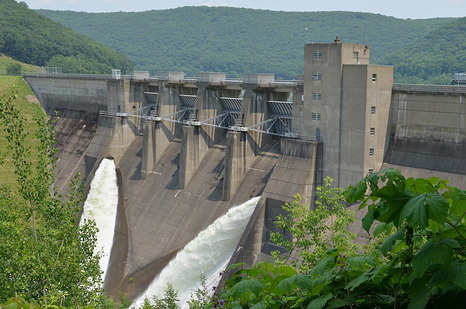 51 mi DamKinzua Dam215 mi Theme parkWaldameer Park
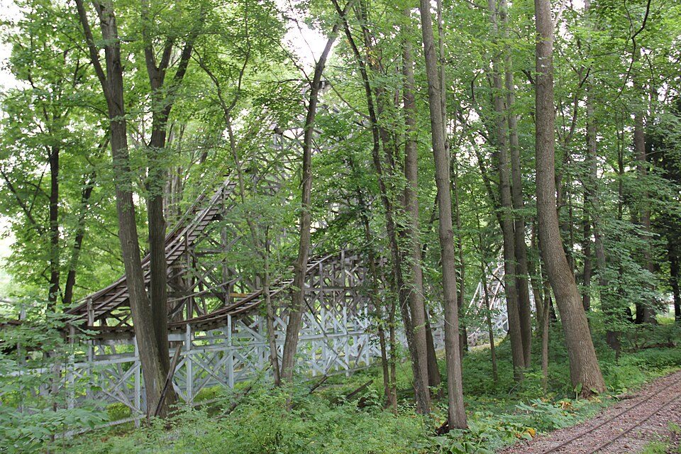 327 mi Theme parkConneaut Lake Park
 53 mi National forestAllegheny National Forest49 mi Theme parkSplash Lagoon
Photo credits
Lake Erie: NOAA, Public domain · Presque Isle State Park: Ruhrfisch, CC BY-SA 3.0 · Chautauqua Lake: Banderas, Public domain · Kinzua Dam: Niagara, CC BY-SA 3.0 · Conneaut Lake Park: daveynin from United States, CC BY 2.0 · Allegheny National Forest: IvoShandor, CC BY 2.5


Visiting Fort Le Boeuf
Is Fort Le Boeuf in Waterford?
Yes. It’s inside Waterford, PA.
When is the best time to visit Fort Le Boeuf?
May, June, July, August and September, with highs of 69–81°.
How far is Fort Le Boeuf from Cleveland?
About 93 miles west of Cleveland, as the crow flies.
What is the closest airport to Fort Le Boeuf?
Erie International Tom Ridge Field (ERI), about 14 miles away. The nearest big hub is Buffalo Niagara (BUF), about 94 miles.
Where should I stay near Fort Le Boeuf?
Summit Township (8 mi, 29 places to stay), Millcreek Township (12 mi, 33 places to stay) and Erie (13 mi, 13 places to stay).
Tips from people in Waterford
No tips yet. Ask, or answer, in Waterford’s Town Square.
Sources: National Park Service · ski areas © OpenSkiMap / OpenStreetMap contributors · Wikidata · Wikipedia readership · NOAA climate normals · U.S. Census.