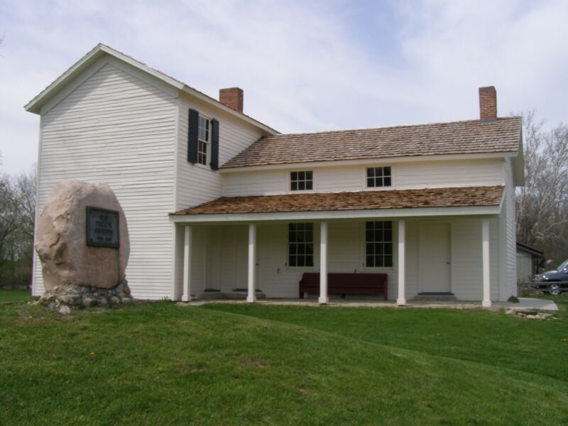
Forks of the Wabash
Historic Forks of the Wabash is a historic museum park near Huntington, Indiana, that features several historic buildings, trails and remnants of the Wabash and Erie Canal.

A museum inside Huntington Township
Plan where you’ll sleep
The nearest town with many places to stay is Wabash, 16 miles west. Where to stay ↓
Winters are cold
January nights drop to 19°, with about 26" of snow a year. When to go ↓
A day trip from Indianapolis
Indianapolis is about 83 miles southwest (straight-line). Where to stay ↓
Best months: May, Jun, Aug, Sep and Oct
May, June, August, September and October are the mild months, with highs of 64–82°. When to go ↓
Written from NOAA 1991–2020 normals, Overture places to stay, Census town figures, Wikidata and Wikipedia.
Weather, month by month
Typical highs and lows in Huntington Township. Green months are the mild ones.
Forks of the Wabash
Historic Forks of the Wabash is a historic museum park near Huntington, Indiana, that features several historic buildings, trails and remnants of the Wabash and Erie Canal. The location was the signing location of the historic Treaty at the Forks of the Wabash in 1838. The park is located along the Wabash River. It was listed on the National Register of Historic Places in 1985 as the Chief Richardville House and Miami Treaty Grounds.
Historic structures include:
- Type
- Museum
- Area
- 7.3 acres
- Listed
- National Register of Historic Places (1985)
- Wikipedia readers
- 1.1K a year
Where to stay near Forks of the Wabash
The closest towns with hotels, motels or campgrounds are Fort Wayne (77) and Washington Township (40).
Compare 8 towns
| Town | From Forks of the Wabash | Drive | Places to stay | People | Typical home | Safety |
|---|---|---|---|---|---|---|
| Huntington Township | in town | — | — | 20,559 | $137K | — |
| Fort Wayne | 25 mi northeast | 40 min | 77 58 hotels · 9 motels · 3 inns & B&Bs · 4 lodges & cabins · 2 campgrounds · 1 RV park | 275,203 | $189K | C− |
| Washington Township | 26 mi northeast | 40 min | 40 34 hotels · 4 motels · 1 inn or B&B · 1 lodge or cabins | 40,340 | $202K | — |
| Aboite Township | 18 mi northeast | 25 min | 14 13 hotels · 1 motel | 43,968 | $310K | — |
| Wabash | 16 mi west | 25 min | 10 4 hotels · 2 inns & B&Bs · 3 lodges & cabins · 1 RV park | 10,190 | $117K | — |
| Wayne Township | 23 mi northeast | 35 min | 19 8 hotels · 3 motels · 2 inns & B&Bs · 3 lodges & cabins · 2 campgrounds · 1 RV park | 111,761 | $131K | — |
| Noble Township | 18 mi west | 25 min | 10 4 hotels · 2 inns & B&Bs · 3 lodges & cabins · 1 RV park | 13,633 | $144K | — |
| Chester Township | 13 mi northwest | 20 min | 4 1 inn or B&B · 1 lodge or cabins · 1 hostel · 1 campground | 6,958 | $147K | — |
Getting there
Nearest airports with airline service
Also near Forks of the Wabash
Other well-known places within 68 miles.
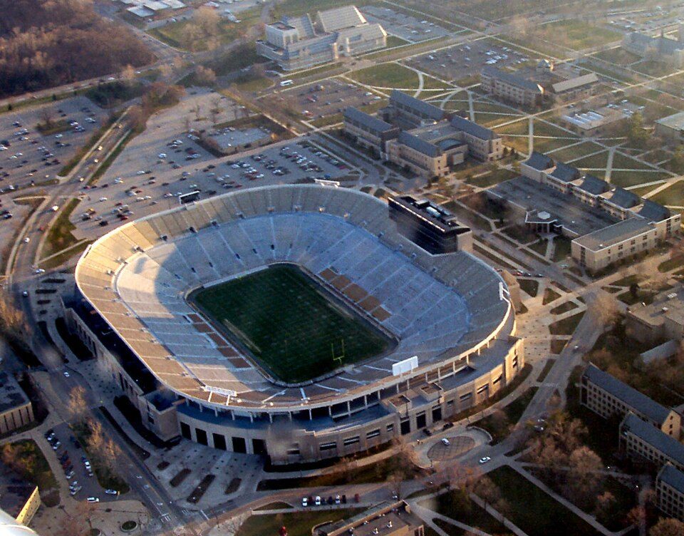 Big draw67 mi Stadium & arenaNotre Dame Stadium63 mi LandmarkWabash and Erie Canal
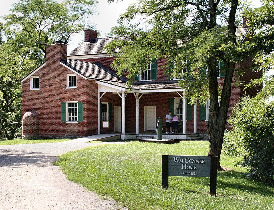 67 mi MuseumConner Prairie
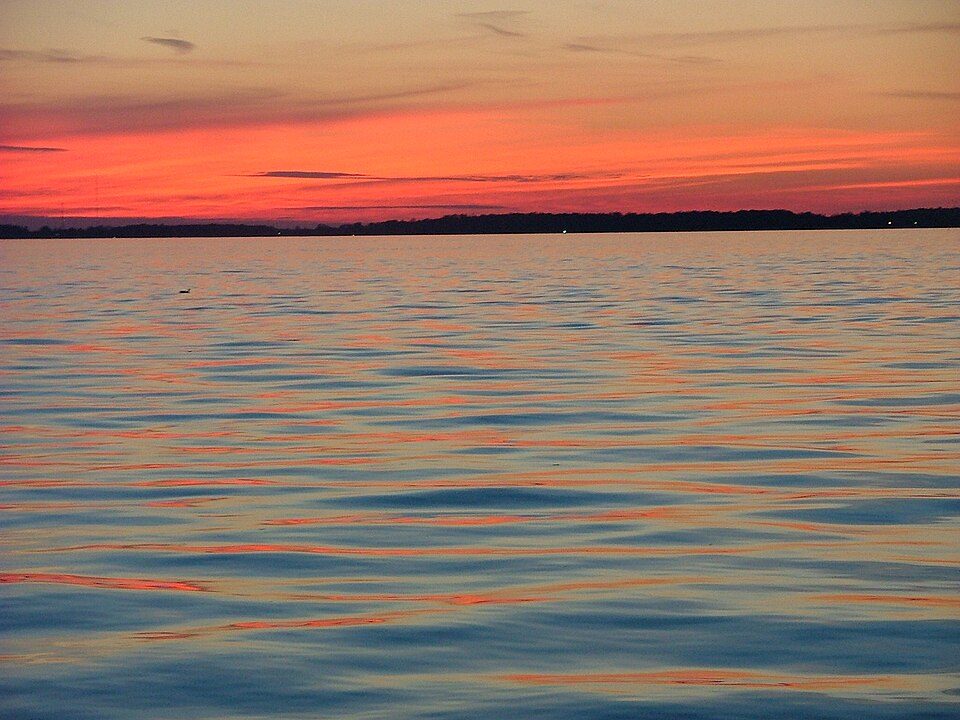 59 mi State parkGrand Lake St. Marys State Park65 mi Theme parkIndiana Beach
 68 mi CaveGrotto of Our Lady of Lourdes, Notre Dame
 64 mi TheatreRuoff Music Center
 51 mi MuseumFort Recovery
Photo credits
Notre Dame Stadium: Tysto, Public domain · Conner Prairie: Unknown, CC BY 2.5 · Grand Lake St. Marys State Park: Bruin, CC BY 2.0 · Grotto of Our Lady of Lourdes, Notre Dame: Know1one1, CC BY-SA 3.0 · Ruoff Music Center: TownePost Network, CC BY 2.0 · Fort Recovery: Nyttend, Public domain


Visiting Forks of the Wabash
Is Forks of the Wabash in Huntington Township?
Yes. It’s inside Huntington Township, IN.
When is the best time to visit Forks of the Wabash?
May, June, August, September and October, with highs of 64–82°.
How far is Forks of the Wabash from Indianapolis?
About 83 miles southwest of Indianapolis, as the crow flies.
What is the closest airport to Forks of the Wabash?
Fort Wayne (FWA), about 19 miles away. The nearest big hub is Indianapolis (IND), about 90 miles.
Where should I stay near Forks of the Wabash?
Fort Wayne (25 mi, 77 places to stay), Washington Township (26 mi, 40 places to stay) and Aboite Township (18 mi, 14 places to stay).
Tips from people in Huntington Township
No tips yet. Ask, or answer, in Huntington Township’s Town Square.
Sources: National Park Service · ski areas © OpenSkiMap / OpenStreetMap contributors · Wikidata · Wikipedia readership · NOAA climate normals · U.S. Census.