
Dogpatch USA
Dogpatch USA was a theme park located in northwest Arkansas along State Highway 7 between the cities of Harrison and Jasper, an area known today as Marble Falls. On the map, it sits 7 mi northeast of Jasper. Add Buffalo, 20 mi away, to a visit.

A theme park, 7 mi northeast of Jasper
Jasper is the nearest base
Jasper is 7 miles southwest, with 12 places to stay. Where to stay ↓
Best months: Apr, May, Sep and Oct
April, May, September and October are the mild months, with highs of 70–82°. When to go ↓
An airport 11 miles away
Boone County (HRO) has airline service, about 11 miles from Dogpatch USA.
Open since 1968
Dogpatch USA opened in 1968, 58 years ago. About ↓
Written from NOAA 1991–2020 normals, Overture places to stay, Census town figures and Wikipedia.
The climate here
Here is how the weather at Dogpatch USA changes month by month.
Dogpatch USA
Dogpatch USA was a theme park located in northwest Arkansas along State Highway 7 between the cities of Harrison and Jasper, an area known today as Marble Falls. It was based on the comic strip Li'l Abner, created by cartoonist Al Capp and set in a fictional village called Dogpatch. The park opened in 1968, and closed in 1993.
Dogpatch USA was a commercial success in its early years. Investors tried to parlay that success into a sister park, "Marble Falls," planned with a ski resort and convention center. The venture failed and led to the park's closure in 1993. The property then fell into disrepair. Parts of the park have been divided up and sold, and the main area has been bought, sold, and foreclosed on several times.
- Type
- Theme park
- Opened
- 1968
- Area
- 124 acres
- Owner
- Down By The Falls, LLC (Johnny Morris)
- Wikipedia readers
- 26K a year
Staying near Dogpatch USA
Nearest for a night are Jasper (12) and Harrison (13), and Branson has the most rooms in the area (235).
Branson
The most places to stay in the area, and a base for a longer trip.
12,921 people · 32% vacation homes
37 mi north of Dogpatch USA
Compare 9 towns
| Town | From Dogpatch USA | Drive | Places to stay | People | Typical home | Safety |
|---|---|---|---|---|---|---|
| Jasper | 7 mi southwest | 10 min | 12 5 hotels · 4 lodges & cabins · 2 campgrounds · 1 RV park | 516 | $184K | — |
| Harrison | 9 mi north | 15 min | 13 9 hotels · 2 motels · 1 inn or B&B · 1 campground | 13,802 | $170K | C |
| Ponca | 14 mi southwest | 20 min | 7 1 hotel · 1 inn or B&B · 3 lodges & cabins · 1 campground · 1 RV park | 73 | — | — |
| Bellefonte | 8 mi northeast | 10 min | 2 1 lodge or cabins · 1 campground | 420 | $188K | — |
| Wayton | 15 mi southwest | 20 min | 4 3 lodges & cabins · 1 campground | 187 | — | — |
| Diamond City 24% vacation homes | 27 mi northeast | 40 min | 10 4 hotels · 1 motel · 1 inn or B&B · 2 lodges & cabins · 1 campground · 1 RV park | 861 | $98K | — |
| Gilbert 49% vacation homes | 25 mi east | 35 min | 7 1 hotel · 3 lodges & cabins · 3 campgrounds | 25 | — | — |
| St. Joe | 19 mi east | 30 min | 3 1 hotel · 1 lodge or cabins · 1 RV park | 132 | $67K | — |
| Branson 32% vacation homes | 37 mi north | 1 hr | 235 162 hotels · 25 motels · 15 inns & B&Bs · 16 lodges & cabins · 1 hostel · 11 campgrounds · 5 RV parks | 12,921 | $251K | D− |
Getting there
Nearest airports with airline service
Around Dogpatch USA
Also within 63 miles are these.
 40 mi Theme parkSilver Dollar City
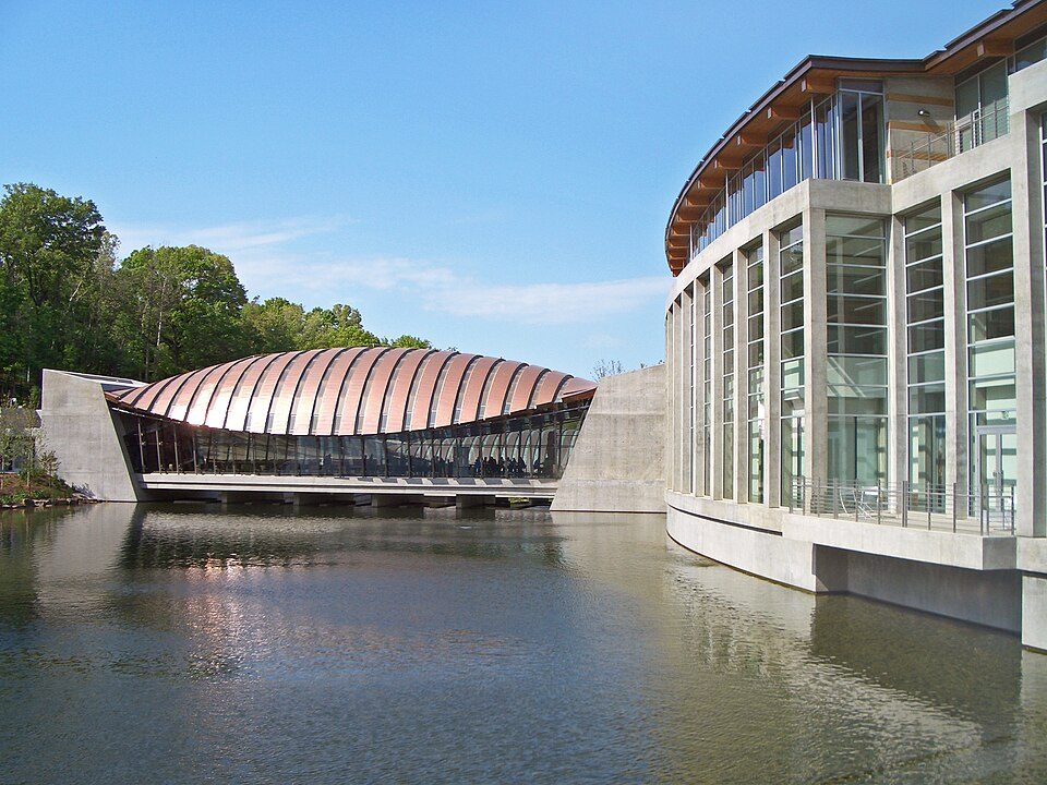 63 mi MuseumCrystal Bridges Museum of American Art
 33 mi LakeTable Rock Lake
 120 mi National RiverBuffalo National River1.4M visitors a year
 39 mi LandmarkChrist of the Ozarks
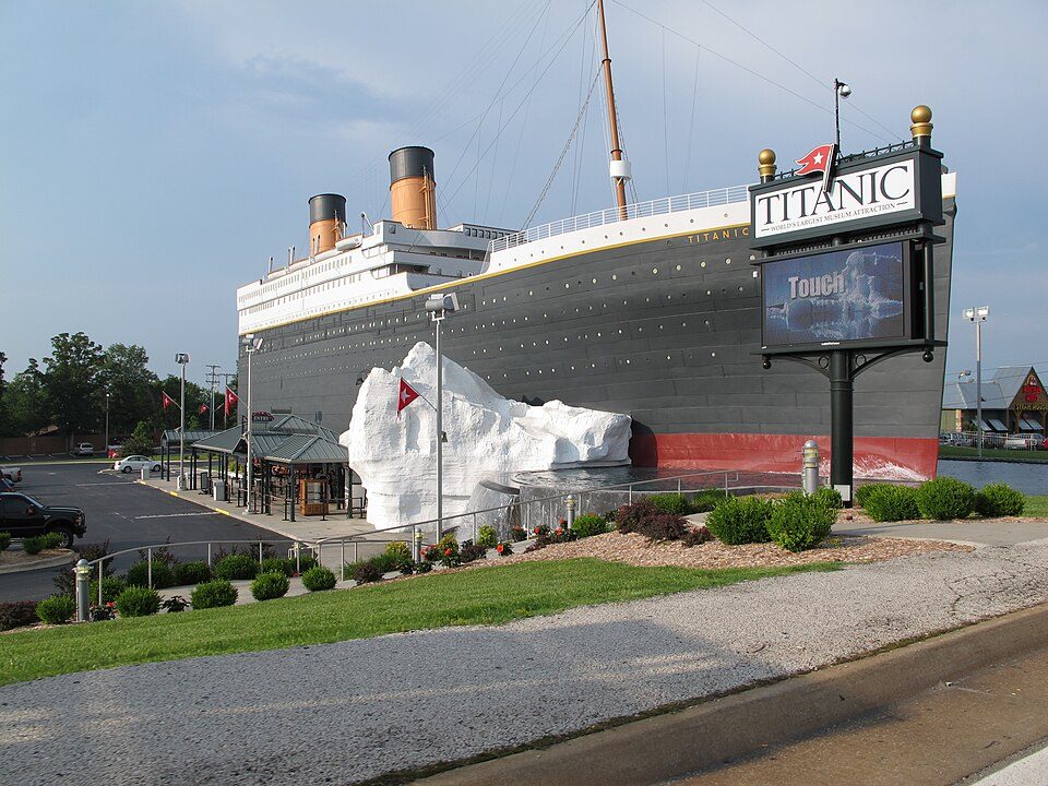 38 mi MuseumTitanic Museum
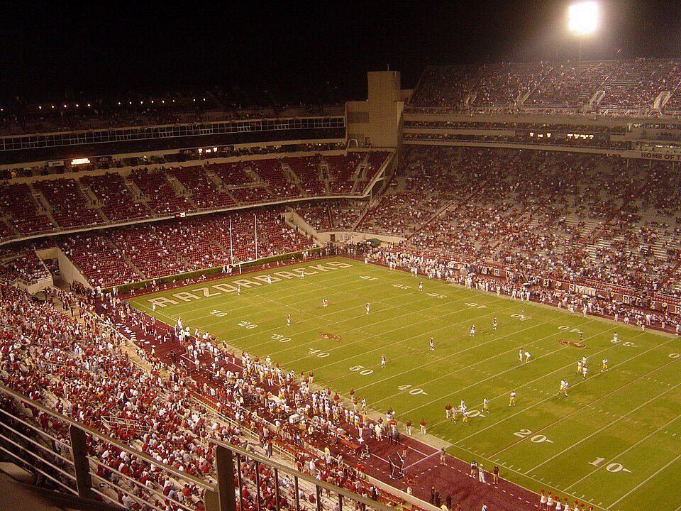 59 mi Stadium & arenaDonald W. Reynolds Razorback Stadium40 mi CaveMarvel Cave
Photo credits
Silver Dollar City: Nan Fry, CC BY 2.0 · Crystal Bridges Museum of American Art: Charvex, CC0 · Table Rock Lake: KTrimble (talk), CC BY-SA 3.0 · Buffalo National River: Mattsrealm, CC BY-SA 4.0 · Christ of the Ozarks: Bobak Ha'Eri, Public domain · Titanic Museum: Brad A. Totman, Public domain · Donald W. Reynolds Razorback Stadium: Bobak at en.wikipedia, CC BY-SA 2.5


Visiting Dogpatch USA: the answers
What town is Dogpatch USA near?
Jasper, AR, about 7 miles southwest.
When is the best time to visit Dogpatch USA?
April, May, September and October, with highs of 70–82°.
What is the closest airport to Dogpatch USA?
Boone County (HRO), about 11 miles away. The nearest big hub is Tulsa (TUL), about 154 miles.
Where should I stay near Dogpatch USA?
Jasper (7 mi, 12 places to stay), Harrison (9 mi, 13 places to stay) and Branson (37 mi, 235 places to stay).
Word from Jasper
Be the first to share a tip in Jasper’s Town Square.
Sources: National Park Service · ski areas © OpenSkiMap / OpenStreetMap contributors · Wikidata · Wikipedia readership · NOAA climate normals · U.S. Census.