
Buttermilk Ski Area
Buttermilk Ski Area is a ski hill and an unincorporated community surrounding it. On the map, it sits 2 mi west of Aspen. The first name on our list around it is Mount Elbert, 23 mi away.

A ski area, 2 mi west of Aspen
About 171 inches of snow a year
The nearest weather station records about 171" of snow in a normal winter, with January nights around 10°. When to go ↓
Aspen is the nearest base
Aspen is 2 miles east, with 51 places to stay. Where to stay ↓
An airport 2 miles away
Aspen-Pitkin County Airport (Sardy Field) (ASE) has airline service, about 2 miles from Buttermilk.
Written from NOAA 1991–2020 normals, Overture places to stay, Census town figures and Wikipedia.
Month by month
The weather near Buttermilk shifts through the year, as below.
Buttermilk Ski Area
Buttermilk Ski Area is a ski hill and an unincorporated community surrounding it in Pitkin County, Colorado. Located about halfway between the cities of Aspen and Snowmass Village, it is frequently considered the easiest skiing mountain in the area. Buttermilk has also been the host to the ESPN Winter X Games multiple times. It contains three ski areas: Tiehack (difficult), Main Buttermilk (regular), and West Buttermilk (easy). Art Pfister developed Buttermilk Mountain ski area in 1958.
- Type
- Ski area
- Terrain
- 50 runs · 2,009 ft vertical · 8 lifts
- Wikipedia readers
- 5.5K a year
- Official site
- aspensnowmass.com/four-mountains/buttermilk
Where to base yourself for Buttermilk
For a bed close by, look to Aspen (51) and Snowmass Village (38).
Aspen
The closest town with somewhere to stay.
6,489 people · 24% vacation homes
2 mi east of Buttermilk
Compare 8 towns
| Town | From Buttermilk | Drive | Places to stay | People | Typical home | Safety |
|---|---|---|---|---|---|---|
| Aspen 24% vacation homes | 2 mi east | 5 min | 51 38 hotels · 2 inns & B&Bs · 10 lodges & cabins · 1 campground | 6,489 | $820K | C− |
| Snowmass Village 34% vacation homes | 4 mi northwest | 5 min | 38 33 hotels · 1 inn or B&B · 4 lodges & cabins | 2,965 | $1,730K | — |
| Mount Crested Butte 57% vacation homes | 20 mi south | 30 min | 14 9 hotels · 1 inn or B&B · 4 lodges & cabins | 966 | $555K | — |
| Crested Butte 34% vacation homes | 23 mi south | 35 min | 15 5 hotels · 3 inns & B&Bs · 5 lodges & cabins · 1 hostel · 1 RV park | 1,693 | $1,011K | B+ |
| Basalt | 16 mi northwest | 25 min | 5 2 hotels · 1 motel · 1 lodge or cabins · 1 campground | 4,009 | $1,180K | B− |
| Marble | 19 mi southwest | 30 min | 7 1 inn or B&B · 5 lodges & cabins · 1 campground | 133 | $774K | — |
| Norrie | 15 mi northeast | 20 min | 3 1 hotel · 2 lodges & cabins | — | — | — |
| Redstone | 20 mi west | 30 min | 4 2 hotels · 1 inn or B&B · 1 lodge or cabins | 144 | $827K | — |
Getting there
Nearest airports with airline service
Also within reach
These well-known places are within 63 miles.
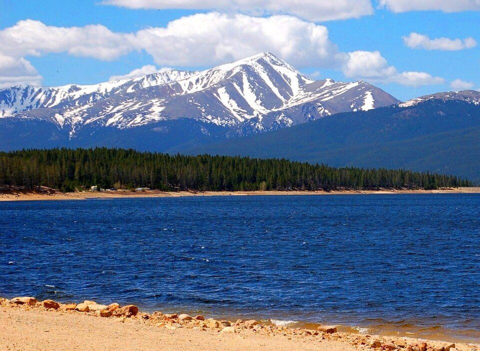 Big draw123 mi MountainMount Elbert
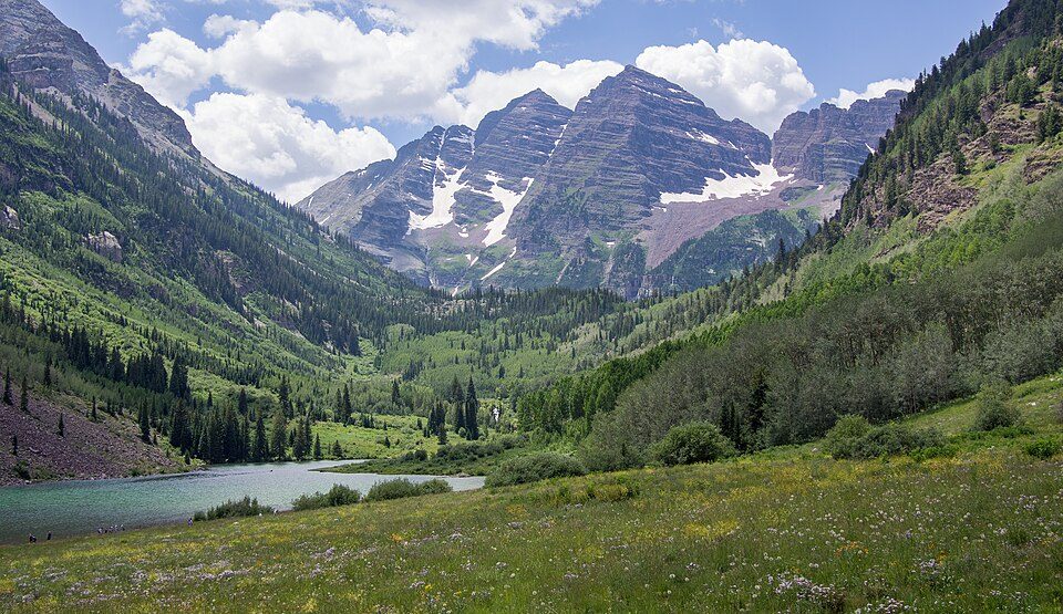 211 mi MountainMaroon Bells
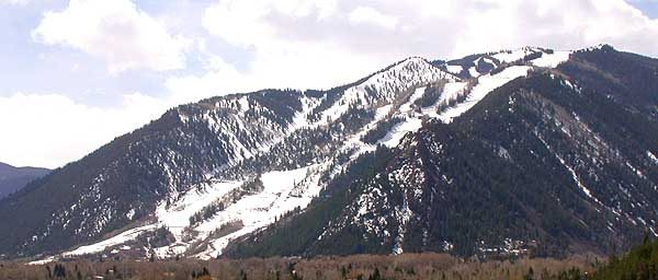 33 mi Ski areaAspen Mountain138 runs · 3,299 ft vertical44 mi Ski areaAspen Snowmass107 runs · 4,403 ft vertical
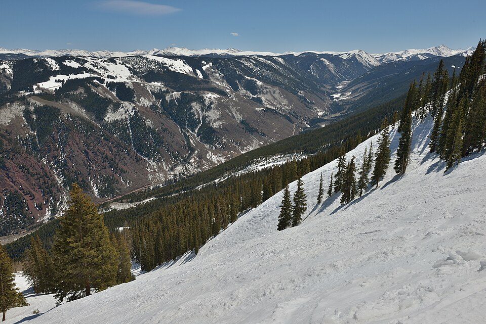 52 mi Ski areaAspen Highlands76 runs · 3,527 ft vertical
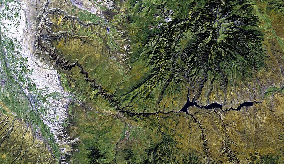 63 mi National ParkBlack Canyon of the Gunnison National Park250K visitors a year
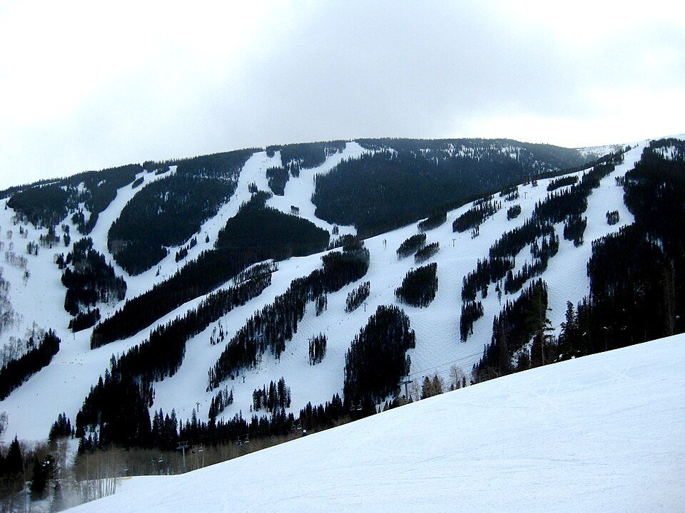 40 mi Ski areaVail322 runs · 3,523 ft vertical
 34 mi Ski areaBeaver Creek242 runs · 4,046 ft vertical
Photo credits
Mount Elbert: Hogs555 (talk · contribs), CC BY-SA 4.0 · Maroon Bells: Rhododendrites, CC BY-SA 4.0 · Aspen Mountain: Unknown, CC BY-SA 3.0 · Aspen Highlands: This Photo was taken by Wolfgang Moroder. Feel free to use my photos, but ple, CC BY-SA 3.0 · Black Canyon of the Gunnison National Park: http://www.terraprints.com, CC BY 2.5 · Vail: Rudi Riet from Washington, DC, United States, CC BY-SA 2.0 · Beaver Creek: Unknown, Public domain


Buttermilk: what to know
What town is Buttermilk near?
Aspen, CO, about 2 miles east.
What is the closest airport to Buttermilk?
Aspen-Pitkin County Airport (Sardy Field) (ASE), about 2 miles away. The nearest big hub is City of Colorado Springs Municipal (COS), about 119 miles.
Where should I stay near Buttermilk?
Aspen (2 mi, 51 places to stay), Snowmass Village (4 mi, 38 places to stay) and Mount Crested Butte (20 mi, 14 places to stay).
Local know-how from Aspen
Start the conversation in Aspen’s Town Square.
Sources: National Park Service · ski areas © OpenSkiMap / OpenStreetMap contributors · Wikidata · Wikipedia readership · NOAA climate normals · U.S. Census.