
Bonneville Salt Flats
The Bonneville Salt Flats are a densely packed salt pan in Tooele County in northwestern Utah, United States. You will find it 38 mi southeast of Montello. Weather is mildest over June and September, with 79–82°F highs.
A lake, 38 mi southeast of Montello
Plan where you’ll sleep
No town within 30 miles has many hotels or campgrounds. Look at the towns below, or plan to camp. Where to stay ↓
No airline airport nearby
The closest airport with airline service is Salt Lake City (SLC), 95 miles away.
Winters are cold
January nights drop to 13°, with about 14" of snow a year. When to go ↓
One of the most looked-up attractions in the U.S.
About 106K people a year read its Wikipedia article, more than for 97% of the 7,770 attractions we track.
Summers are hot
July highs run 92–92°, and about 57 days a year reach 90°. When to go ↓
Written from NOAA 1991–2020 normals, Overture places to stay, Census town figures and Wikipedia.
A month-by-month look
Below are typical highs and lows near Bonneville Salt Flats.
Bonneville Salt Flats
The Bonneville Salt Flats are a densely packed salt pan in Tooele County in northwestern Utah, United States. A remnant of the Pleistocene Lake Bonneville, it is the largest of many salt flats west of the Great Salt Lake. It is public land managed by the Bureau of Land Management (BLM) and is known for land speed records at the Bonneville Speedway. The flats are open to the public.
The salt flats are about 12 miles (19 km) long and 5 miles (8 km) wide, with a crust almost 5 ft (1.5m) thick at the center and less than one inch (2.5 cm) towards the edges. It is estimated to hold 147 million tons of salt, about 90% of which is halite from which table salt is derived.
- Type
- Lake
- Wikipedia readers
- 106K a year
Where to base yourself for Bonneville Salt Flats
Towns within 30 miles, best bases first.
Montello
The closest town with somewhere to stay.
80 people
38 mi northwest of Bonneville Salt Flats
Compare 1 towns
| Town | From Bonneville Salt Flats | Drive | Places to stay | People |
|---|---|---|---|---|
| Montello | 38 mi northwest | 1 hr | 1 1 motel | 80 |
Getting there
Nearest airports with airline service
Close to Bonneville Salt Flats
All of these are within 69 miles.
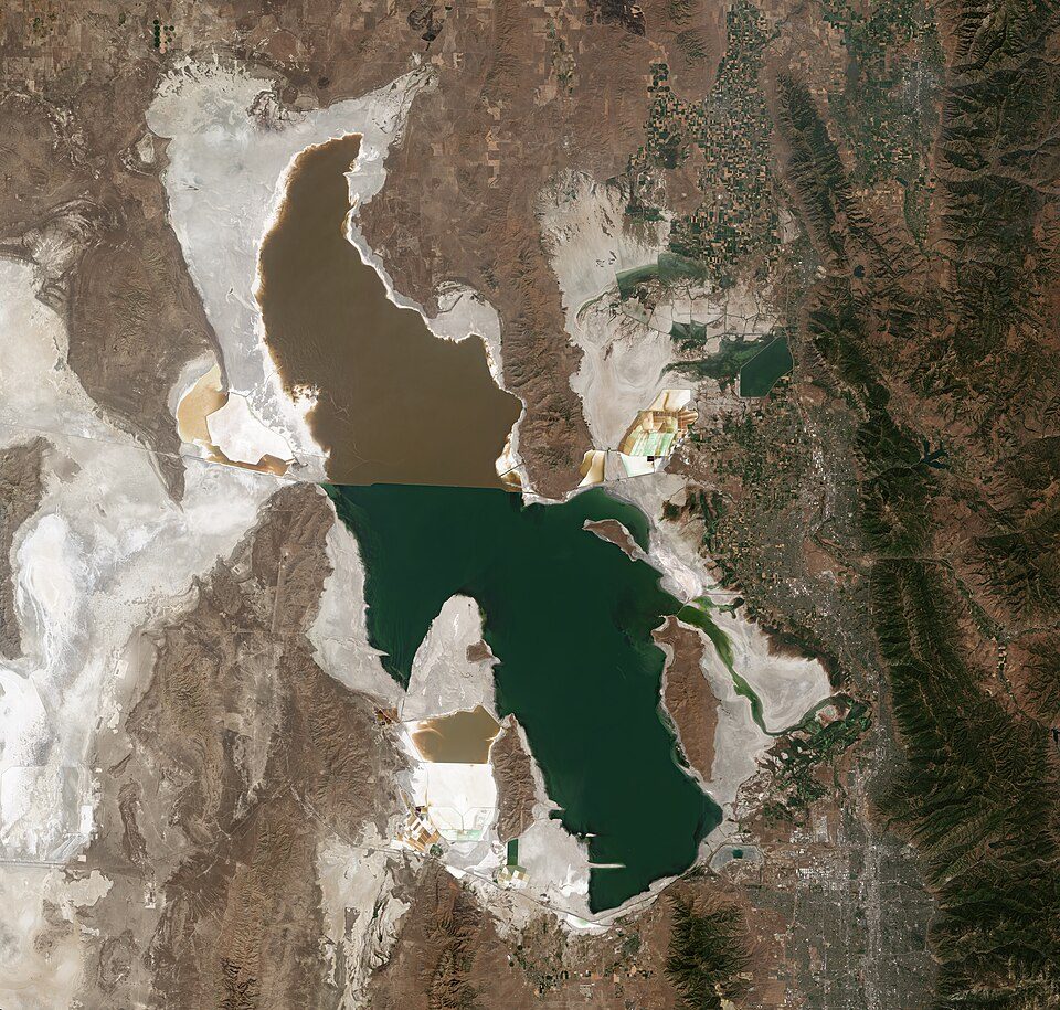

Photo credits
Great Salt Lake: Copernicus Sentinel-2, ESA, CC BY-SA 3.0 igo

Know before you visit Bonneville Salt Flats
What town is Bonneville Salt Flats near?
Montello, NV, about 38 miles northwest.
When is the best time to visit Bonneville Salt Flats?
June and September, with highs of 79–82°.
What is the closest airport to Bonneville Salt Flats?
Salt Lake City (SLC), about 95 miles away.
Ask people in Montello
Nobody has posted a tip yet; ask or answer in Montello’s Town Square.
Sources: National Park Service · ski areas © OpenSkiMap / OpenStreetMap contributors · Wikidata · Wikipedia readership · NOAA climate normals · U.S. Census.