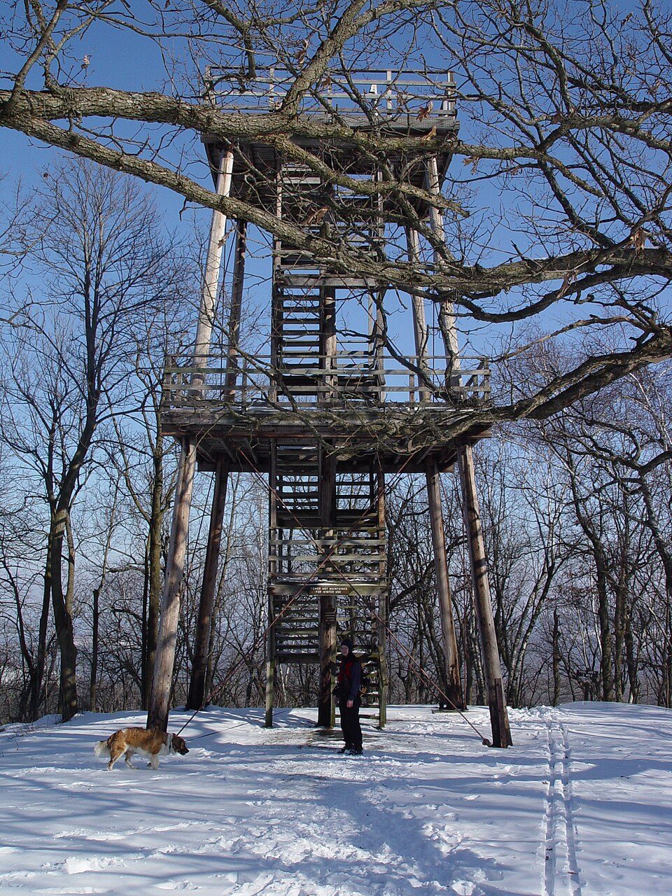
Blue Mound State Park
Blue Mound State Park is a state park in Wisconsin, United States, located atop the largest hill in the southern half of the state, near the village of Blue Mounds. The town it belongs to is Brigham. It dates from 1959.

A state park inside Brigham
Winters are cold
January nights drop to 10°, with about 41" of snow a year. When to go ↓
Mount Horeb is the nearest base
Mount Horeb is 6 miles east, with 6 places to stay. Where to stay ↓
A day trip from Milwaukee
Milwaukee is about 95 miles east (straight-line). Where to stay ↓
Best months: May, Jun, Jul, Aug and Sep
May, June, July, August and September are the mild months, with highs of 69–82°. When to go ↓
Established in 1959
Blue Mound State Park dates from 1959. About ↓
Written from NOAA 1991–2020 normals, Overture places to stay, Census town figures, Wikidata and Wikipedia.
Weather, month by month
Pick a month for Blue Mound from the weather below.
Blue Mound State Park
Blue Mound State Park is a state park in Wisconsin, United States, located atop the largest hill in the southern half of the state, near the village of Blue Mounds. The 1,153-acre (467 ha) park features a pair of observation towers affording views of the Wisconsin River valley and Baraboo Range to the north, the mounds, buttes, and rolling forests of the Driftless Area to the south and west, and the young glacial plains and city of Madison to the east.
- Type
- State park
- Established
- 1959
- Wikipedia readers
- 7.3K a year
Staying near Blue Mound State Park
Rooms are nearest in Madison (97) and Mount Horeb (6).
Compare 8 towns
| Town | From Blue Mound | Drive | Places to stay | People | Typical home | Safety |
|---|---|---|---|---|---|---|
| Brigham | in town | — | — | 1,061 | $424K | — |
| Madison | 22 mi east | 35 min | 97 83 hotels · 4 motels · 6 inns & B&Bs · 2 lodges & cabins · 1 hostel · 1 campground | 286,233 | $373K | C |
| Mount Horeb | 6 mi east | 10 min | 6 3 hotels · 1 motel · 1 inn or B&B · 1 lodge or cabins | 7,725 | $389K | A+ |
| Arena | 9 mi northwest | 15 min | 4 2 inns & B&Bs · 2 campgrounds | 1,496 | $321K | — |
| Barneveld | 3 mi southwest | 5 min | 2 2 lodges & cabins | 1,333 | $285K | — |
| Middleton | 18 mi east | 25 min | 11 10 hotels · 1 campground | 23,115 | $484K | B |
| Mineral Point | 20 mi southwest | 30 min | 12 6 hotels · 1 motel · 4 inns & B&Bs · 1 lodge or cabins | 2,555 | $212K | A− |
| Verona | 16 mi east | 25 min | 6 6 hotels | 16,821 | $420K | A |
Getting there
Nearest airports with airline service
Beyond Blue Mound
Each of these is within 68 miles.
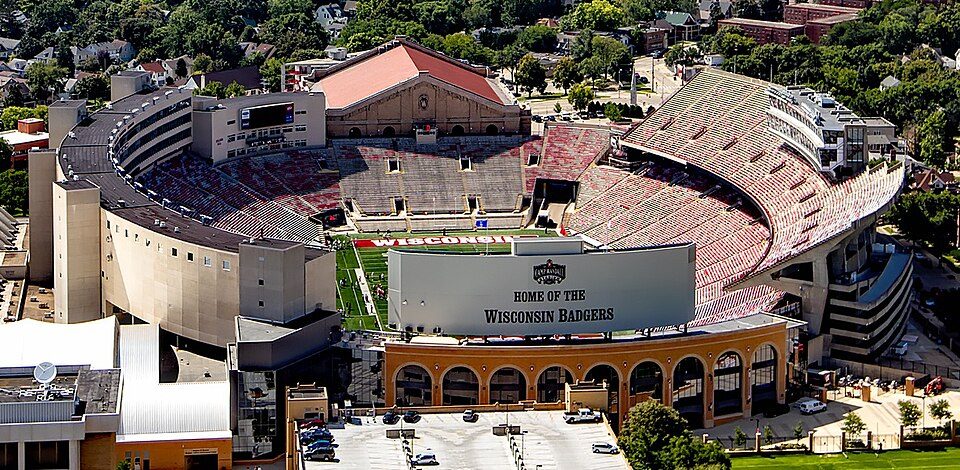 122 mi Stadium & arenaCamp Randall Stadium
 229 mi Park & preserveIce Age Trail
 323 mi Stadium & arenaKohl Center
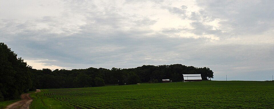 41 mi MountainCharles Mound
 43 mi MuseumLittle Norway, Wisconsin
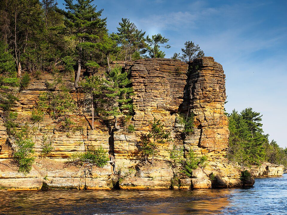 43 mi Canyon & gorgeDells of the Wisconsin River
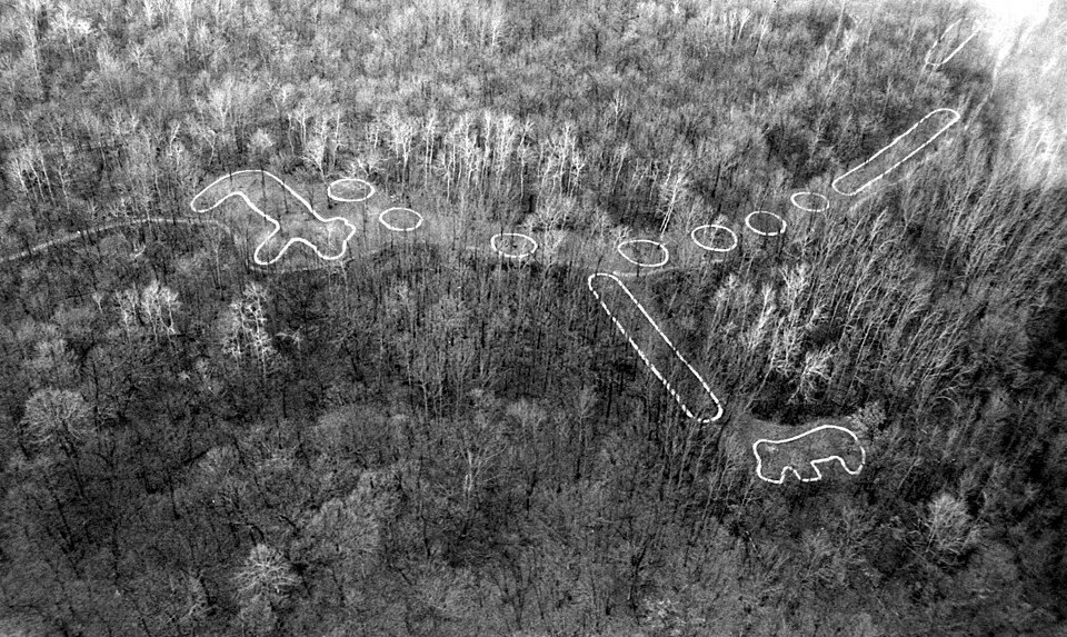 67 mi National MonumentEffigy Mounds National Monument57K visitors a year
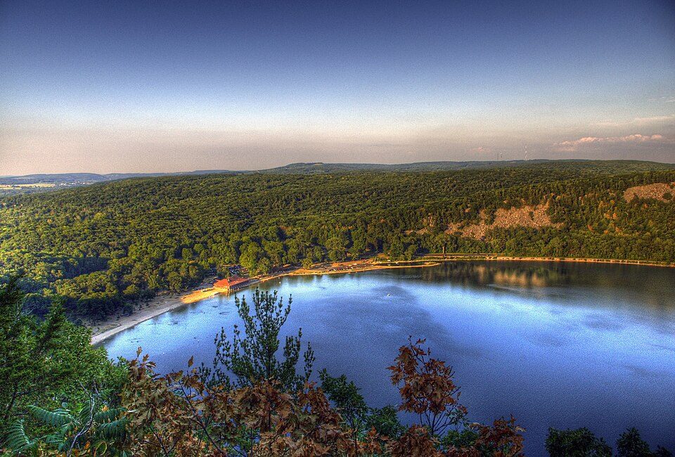 528 mi State parkDevil's Lake State Park
Photo credits
Camp Randall Stadium: Carol M. Highsmith, Public domain · Ice Age Trail: MDuchek, CC BY-SA 3.0 · Kohl Center: Pbrown111 at English Wikipedia, Public domain · Charles Mound: Skye Marthaler, CC BY-SA 3.0 · Little Norway, Wisconsin: Richie Diesterheft, CC BY 2.0 · Dells of the Wisconsin River: atramos, CC BY 2.0 · Effigy Mounds National Monument: National Park Service, Public domain · Devil's Lake State Park: CrispAir at en.wikipedia, CC BY 3.0


Planning a visit to Blue Mound
Is Blue Mound State Park in Brigham?
Yes. It’s inside Brigham, WI.
When is the best time to visit Blue Mound State Park?
May, June, July, August and September, with highs of 69–82°.
How far is Blue Mound State Park from Milwaukee?
About 95 miles east of Milwaukee, as the crow flies.
What is the closest airport to Blue Mound State Park?
Dane County Regional Truax Field (MSN), about 27 miles away. The nearest big hub is General Mitchell (MKE), about 99 miles.
Where should I stay near Blue Mound State Park?
Madison (22 mi, 97 places to stay), Mount Horeb (6 mi, 6 places to stay) and Arena (9 mi, 4 places to stay).
Notes from people in Brigham
There are no tips yet, so start one in Brigham’s Town Square.
Sources: National Park Service · ski areas © OpenSkiMap / OpenStreetMap contributors · Wikidata · Wikipedia readership · NOAA climate normals · U.S. Census.