
Ausable Chasm
Ausable Chasm is a sandstone gorge and tourist attraction located near the hamlet of Keeseville, New York, United States, due west of Port Kent.

A canyon & gorge inside Chesterfield
Winters are cold
January nights drop to 10°. When to go ↓
You can stay in Chesterfield
Ausable Chasm is inside Chesterfield, which has 7 places to stay, so you won’t need a base farther out. Where to stay ↓
Best months: May, Jun, Jul, Aug and Sep
May, June, July, August and September are the mild months, with highs of 67–79°. When to go ↓
An airport 8 miles away
Plattsburgh (PBG) has airline service, about 8 miles from Ausable Chasm.
Written from NOAA 1991–2020 normals, Overture places to stay, Census town figures and Wikipedia.
Weather, month by month
Typical highs and lows in Chesterfield. Green months are the mild ones.
Ausable Chasm
Ausable Chasm is a sandstone gorge and tourist attraction located near the hamlet of Keeseville, New York, United States, due west of Port Kent. The gorge is about two miles (3.2 km) long and is about 150 feet (46 m) deep.
Ausable Chasm is the namesake of the Ausable River, which runs through the gorge and empties into Lake Champlain about one mile (1.6 km) away. The gorge started forming about 10,000 years ago through headward erosion caused by Rainbow Falls, a 91 feet (28 m) waterfall at the gorge's southern extreme. The gorge is a major tourist attraction and landmark in the Adirondacks region of Upstate New York.
- Type
- Canyon & gorge
- Wikipedia readers
- 13K a year
Where to stay near Ausable Chasm
The closest towns with hotels, motels or campgrounds are Chesterfield (7) and Burlington (21).
Compare 8 towns
| Town | From Ausable Chasm | Drive | Places to stay | People | Typical home | Safety |
|---|---|---|---|---|---|---|
| Chesterfield | in town | — | 7 2 lodges & cabins · 5 campgrounds | 2,402 | $143K | — |
| Burlington | 11 mi east | 15 min | 21 9 hotels · 7 inns & B&Bs · 1 lodge or cabins · 2 hostels · 2 campgrounds | 44,019 | $445K | D− |
| Plattsburgh | 12 mi north | 15 min | 17 12 hotels · 3 motels · 1 campground · 1 RV park | 11,748 | $180K | — |
| Colchester | 12 mi east | 20 min | 16 9 hotels · 1 motel · 1 inn or B&B · 5 campgrounds | 17,565 | $394K | C+ |
| Peru | 6 mi northwest | 10 min | 8 1 inn or B&B · 1 lodge or cabins · 6 campgrounds | 6,669 | $203K | — |
| South Burlington | 15 mi southeast | 25 min | 18 14 hotels · 3 motels · 1 inn or B&B | 21,394 | $443K | D |
| Au Sable | 4 mi southwest | 5 min | 5 1 motel · 1 inn or B&B · 2 campgrounds · 1 RV park | 3,124 | $133K | — |
| South Hero 32% vacation homes | 10 mi northeast | 15 min | 7 3 hotels · 2 inns & B&Bs · 2 campgrounds | 1,726 | $558K | — |
Getting there
Nearest airports with airline service
Also near Ausable Chasm
Other well-known places within 63 miles. Numbered ones are on the map above.
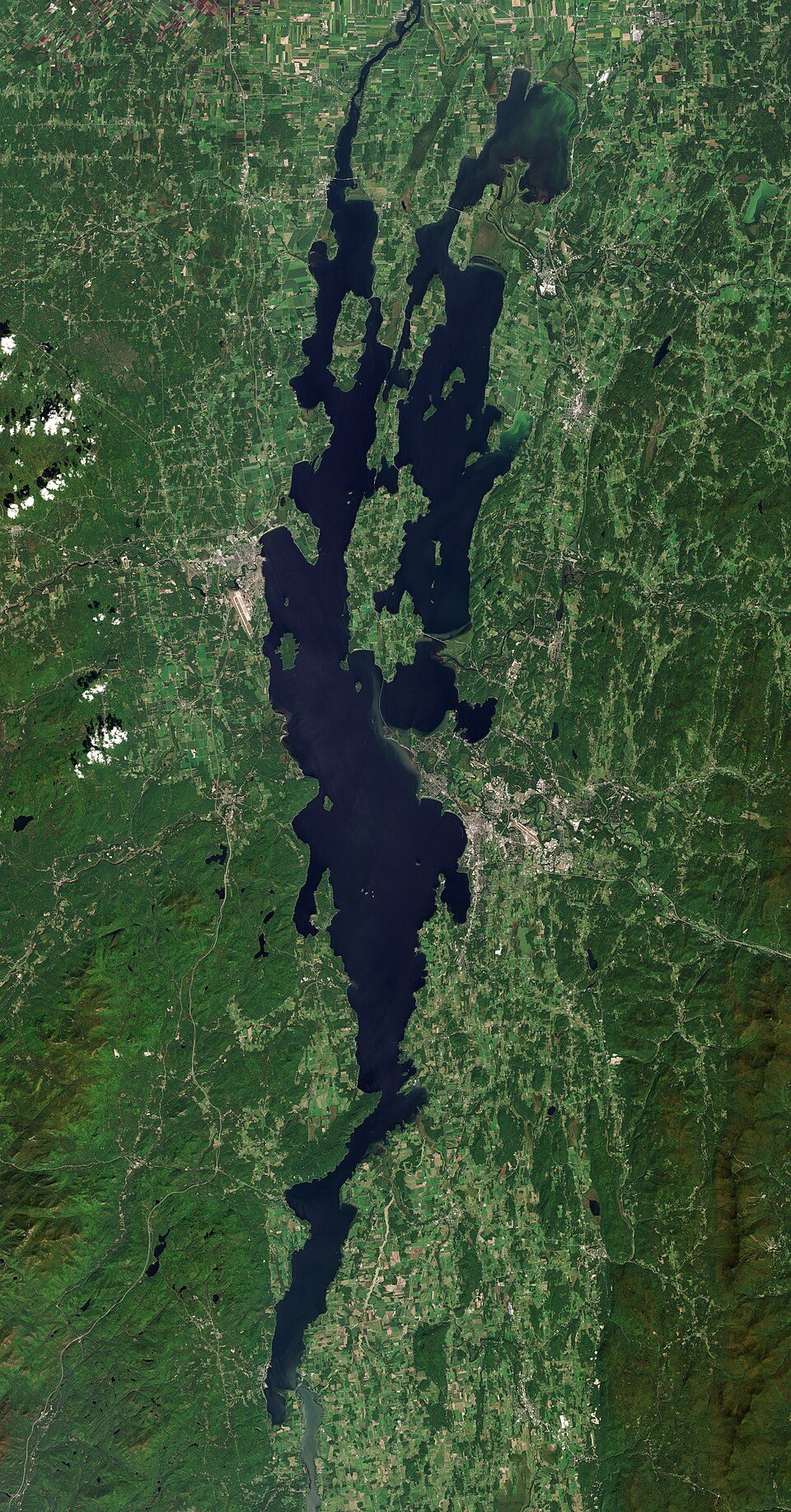 Big draw16 mi LakeLake Champlain
 Big draw48 mi LandmarkFort Ticonderoga
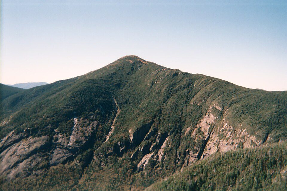 37 mi MountainMount Marcy
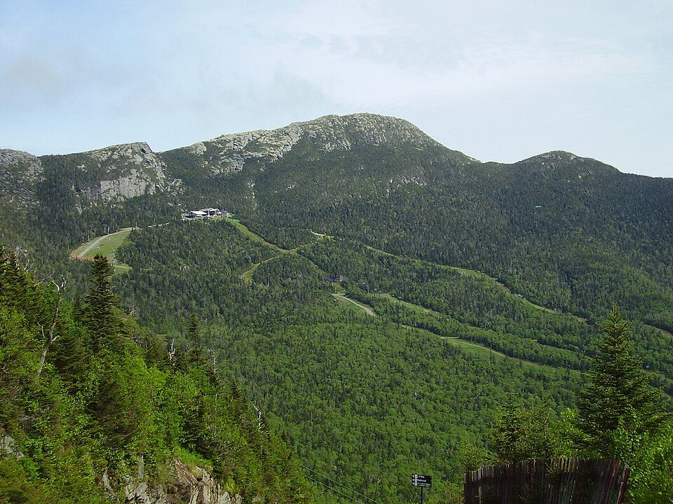 32 mi MountainMount Mansfield
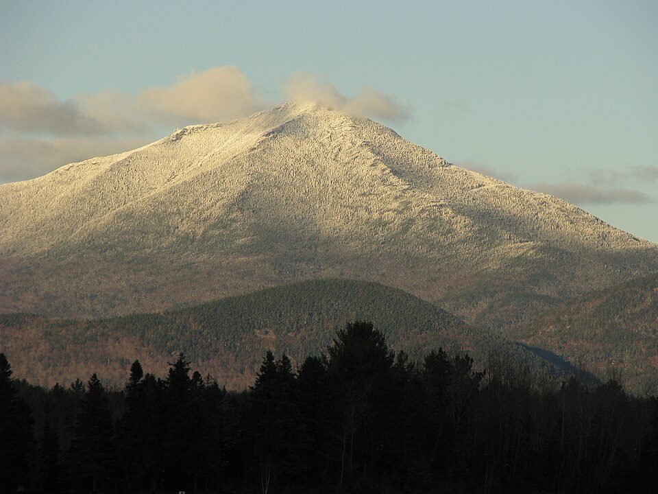 225 mi MountainWhiteface Mountain
 57 mi State parkAdirondack Park
 63 mi LakeLake George
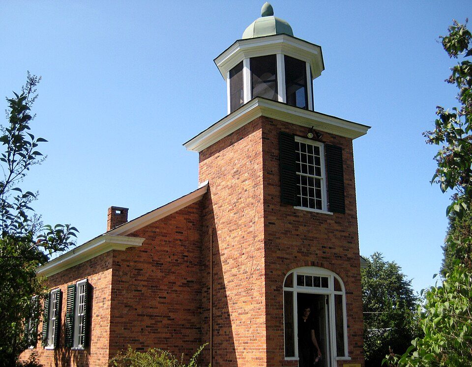 316 mi MuseumShelburne Museum
Photo credits
Lake Champlain: Copernicus Sentinel-2, ESA, CC BY-SA 3.0 igo · Fort Ticonderoga: Mwanner, CC BY-SA 3.0 · Mount Marcy: Daniel Tripp, Public domain · Mount Mansfield: Original uploader was Calzarette (Joe Calzarette) at en.wikipedia, Public domain · Whiteface Mountain: Mwanner, CC BY-SA 3.0 · Adirondack Park: Original uploader was Mwanner at en.wikipedia Later version(s) were uploaded by, CC BY-SA 3.0 · Lake George: Sixlocal, CC BY-SA 3.0 · Shelburne Museum: Storylanding, CC0


Visiting Ausable Chasm
Is Ausable Chasm in Chesterfield?
Yes. It’s inside Chesterfield, NY.
When is the best time to visit Ausable Chasm?
May, June, July, August and September, with highs of 67–79°.
What is the closest airport to Ausable Chasm?
Plattsburgh (PBG), about 8 miles away. The nearest big hub is Albany (ALB), about 124 miles.
Where should I stay near Ausable Chasm?
Burlington (11 mi, 21 places to stay), Chesterfield (in town, 7 places to stay) and Plattsburgh (12 mi, 17 places to stay).
Tips from people in Chesterfield
No tips yet. Ask, or answer, in Chesterfield’s Town Square.
Sources: National Park Service · ski areas © OpenSkiMap / OpenStreetMap contributors · Wikidata · Wikipedia readership · NOAA climate normals · U.S. Census.