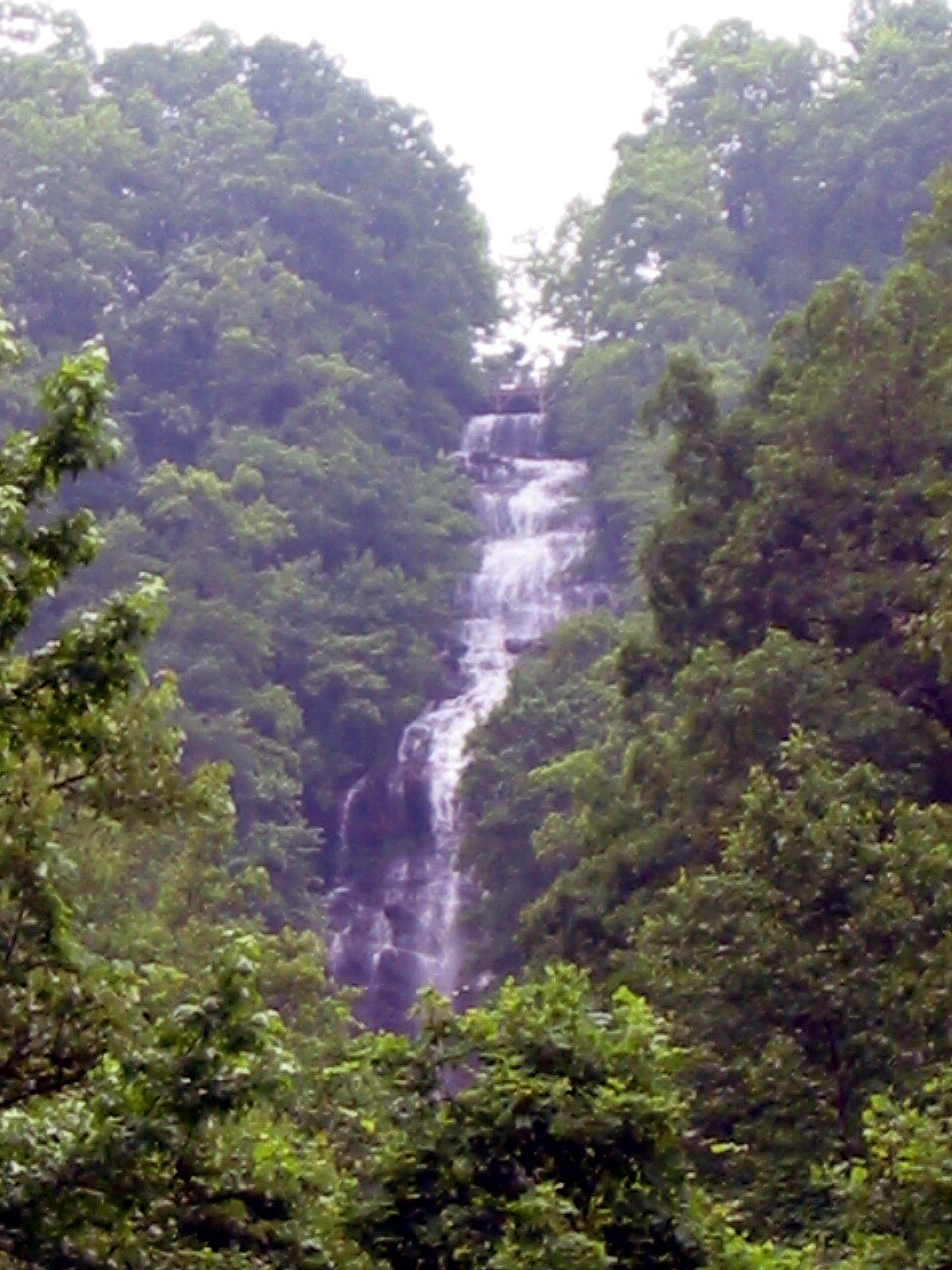
Amicalola Falls
Amicalola Falls is a 729-foot (222 m) waterfall on Amicalola Creek. Find it 11 mi northwest of Dawsonville. The best weather comes with April, May, June, September and October, at 71–84°F.

A waterfall, 11 mi northwest of Dawsonville
Jasper is the nearest base
Jasper is 13 miles southwest, with 7 places to stay. Where to stay ↓
A day trip from Atlanta
Atlanta is about 56 miles south (straight-line). Where to stay ↓
Best months: Apr, May, Jun, Sep and Oct
April, May, June, September and October are the mild months, with highs of 71–84°. When to go ↓
Written from NOAA 1991–2020 normals, Overture places to stay, Census town figures and Wikipedia.
Weather through the year
Each month’s highs and lows around Amicalola Falls are below.
Amicalola Falls
Amicalola Falls is a 729-foot (222 m) waterfall on Amicalola Creek in Dawson County, Georgia, United States. It is the highest waterfall in Georgia and is considered to be one of the Seven Natural Wonders of Georgia. The name "Amicalola" is derived from a Cherokee language term ama uqwalelvyi, meaning "tumbling waters." The falls are the centerpiece of Amicalola Falls State Park.
- Type
- Waterfall
- Wikipedia readers
- 19K a year
Where to base yourself for Amicalola Falls
Nearest for a night are Dahlonega (24) and East Ellijay (23).
Dahlonega
The closest town with somewhere to stay.
7,918 people
15 mi east of Amicalola Falls
Compare 8 towns
| Town | From Amicalola Falls | Drive | Places to stay | People | Typical home | Safety |
|---|---|---|---|---|---|---|
| Dahlonega | 15 mi east | 25 min | 24 11 hotels · 3 motels · 5 inns & B&Bs · 4 lodges & cabins · 1 campground | 7,918 | $531K | — |
| East Ellijay | 16 mi northwest | 25 min | 23 12 hotels · 1 motel · 9 lodges & cabins · 1 RV park | 1,816 | $208K | C− |
| Blue Ridge | 21 mi north | 30 min | 41 7 hotels · 6 inns & B&Bs · 26 lodges & cabins · 2 campgrounds | 1,297 | $348K | — |
| Cherry Log 100% vacation homes | 17 mi northwest | 25 min | 23 1 hotel · 1 inn or B&B · 21 lodges & cabins | — | — | — |
| Jasper | 13 mi southwest | 20 min | 7 2 hotels · 2 motels · 1 inn or B&B · 2 lodges & cabins | 5,400 | $283K | — |
| Ellijay | 16 mi northwest | 25 min | 9 1 hotel · 2 motels · 2 inns & B&Bs · 2 lodges & cabins · 1 campground · 1 RV park | 2,008 | $349K | B |
| Mineral Bluff | 24 mi north | 35 min | 18 2 hotels · 14 lodges & cabins · 1 campground · 1 RV park | 294 | $98K | — |
| Dawsonville | 11 mi southeast | 15 min | 3 1 hotel · 1 inn or B&B · 1 lodge or cabins | 4,888 | $363K | — |
Getting there
Nearest airports with airline service
Also within reach
More places people know lie within 58 miles.
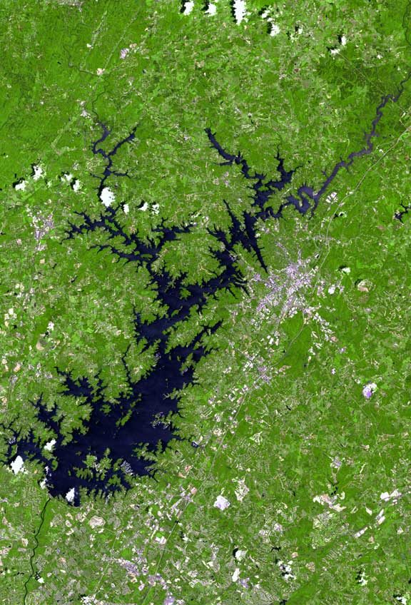 Big draw128 mi LakeLake Lanier
 Big draw57 mi Stadium & arenaMercedes-Benz Stadium
 Big draw53 mi MountainStone Mountain
 Big draw58 mi Theme parkSix Flags Over Georgia
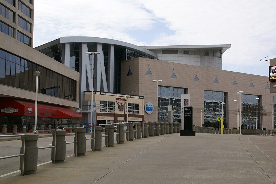 Big draw56 mi Stadium & arenaState Farm Arena
 48 mi Stadium & arenaTruist Park
 56 mi Zoo & aquariumGeorgia Aquarium
 40 mi MuseumChattahoochee Nature Center
Photo credits
Lake Lanier: http://www.terraprints.com, CC BY 2.5 · Mercedes-Benz Stadium: Atlanta Falcons, CC BY 3.0 · Stone Mountain: KyleAndMelissa22, Public domain · Six Flags Over Georgia: hagerman, CC BY 2.0 · State Farm Arena: Hermann Luyken, CC0 · Truist Park: Thechased at English Wikipedia, CC BY 4.0 · Georgia Aquarium: Diliff, CC BY 2.5 · Chattahoochee Nature Center: muffinn from Worcester, UK, CC BY 2.0


Amicalola Falls in questions
What town is Amicalola Falls near?
Dawsonville, GA, about 11 miles southeast.
When is the best time to visit Amicalola Falls?
April, May, June, September and October, with highs of 71–84°.
How far is Amicalola Falls from Atlanta?
About 56 miles south of Atlanta, as the crow flies.
What is the closest airport to Amicalola Falls?
DeKalb Peachtree (PDK), about 48 miles away. The nearest big hub is Hartsfield Jackson Atlanta (ATL), about 65 miles.
Where should I stay near Amicalola Falls?
Dahlonega (15 mi, 24 places to stay), East Ellijay (16 mi, 23 places to stay) and Blue Ridge (21 mi, 41 places to stay).
Notes from people in Dawsonville
Start the conversation in Dawsonville’s Town Square.
Sources: National Park Service · ski areas © OpenSkiMap / OpenStreetMap contributors · Wikidata · Wikipedia readership · NOAA climate normals · U.S. Census.